 |
|
|
A Week in
Basalt & Lava Friday-Saturday, March 9-17, 2012 by Dennis Foster
Part II: In Lava and Back Out (Day 5 to Day 9) |
|
|
|
|
|
|
|
A Week in
Basalt & Lava Friday-Saturday, March 9-17, 2012 by Dennis Foster
Part II: In Lava and Back Out (Day 5 to Day 9) |
|
|
|
|
|
|
|
|
See Bill Ferris' trip report at his website - Grand Canyon Adventure
|
|
Day 5 - Investigating another
route back to Basalt (Tuesday, March 13) -
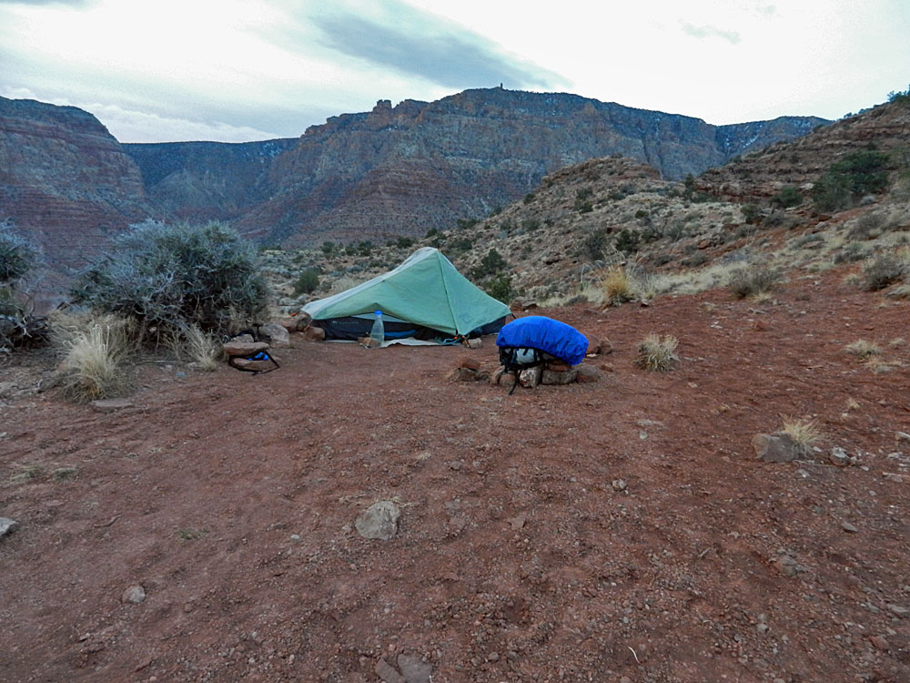
It was colder last night, but no wind.
We were up at about 6:45 a.m. and ready to go two hours later.
There were still lots of mosquitoes plaguing us this morning.
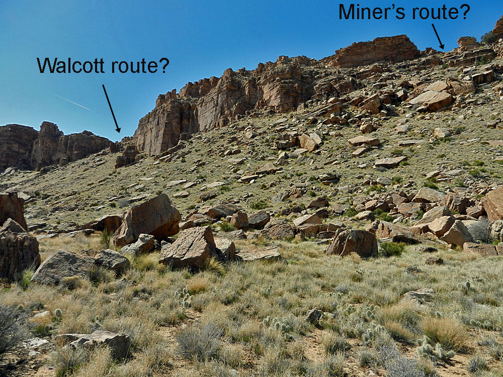
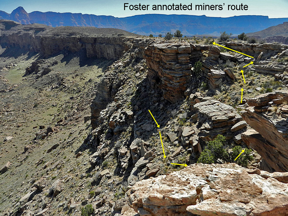
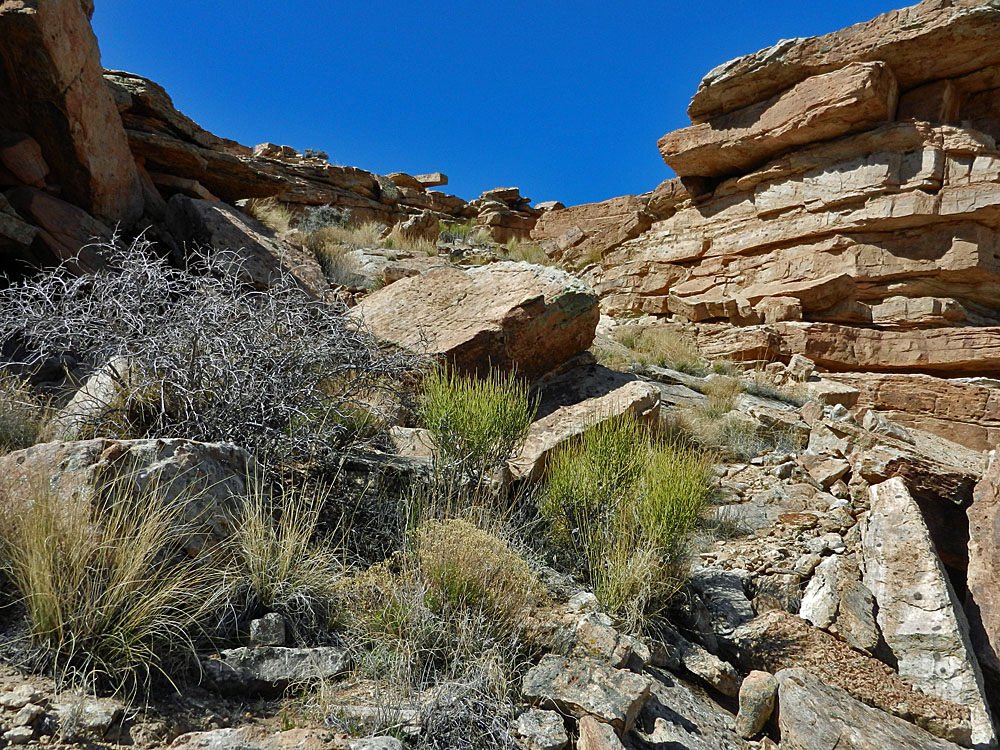
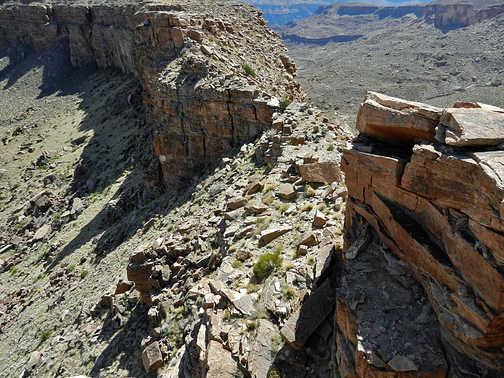
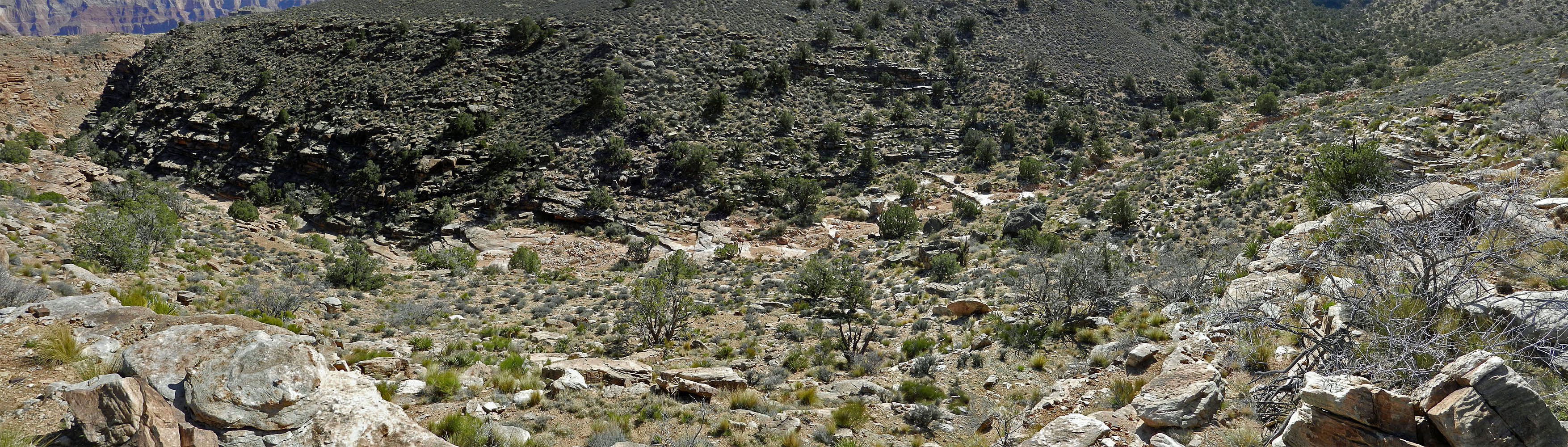
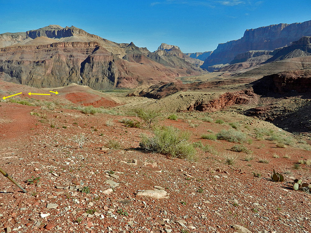
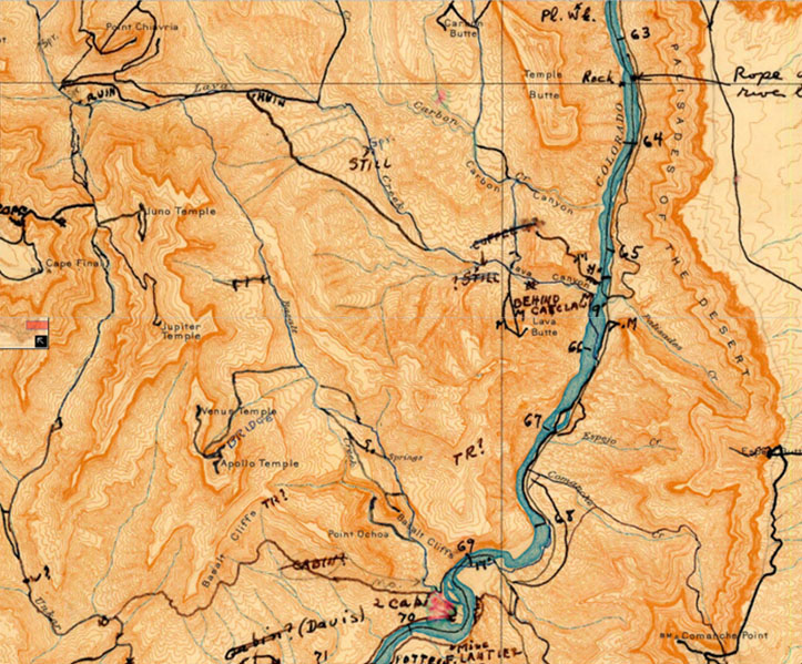
But, Doug Nering suggested that an alternative route, just a little west of the obvious break, was not only an old miners' trail but was also Walcott's route. I wanted to check this out and after some consideration I agree with Doug's interpretation here, even though we may still differ on the exact track that this old trail took - see the competing photos below. I have addressed this issue more completely in the appendix below. It only took me about 25 minutes to hike up from our camp to the spot I had been the previous day, where you really get a great 360° view of Chuar. There is definitely an old trail up through the hillside to where the terrace starts to level out. I thought that this route may be faster than the one Bill and I used, but after having to cross two very large drainages I changed my mind on that score. Still, the hiking was just fantastic. Steep sections would often lead to grassy hanging valleys that were quite idyllic. I kept my focus on the old miners' route, which was also quite obvious. I found myself following deer tracks as I got closer and up at the base of the crumbing cliff I was able to follow a discernable, if faint, trail that switchbacked its way to the top of the ridge, which I reached just before noon. While I agree that this is likely the Walcott route, I did not see any definitive signs of trail construction; instead there was a beaten down path that looked well used. I did go over to the more obvious break and had no trouble getting down below the Tapeats cliff. But, from this break it is a bit sketchy along the top of this ridge heading up the canyon, while from the old miners' route it is clear sailing heading back towards the Lava-Basalt saddle. The ridge area here is rather narrow - it is only about twenty yards across. At 1:25 p.m. I was on my way to check out another Walcott issue. |
|
Click on any picture to see a larger image. |
||
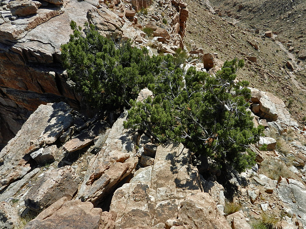
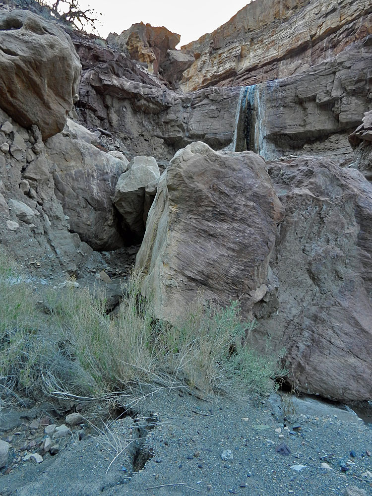
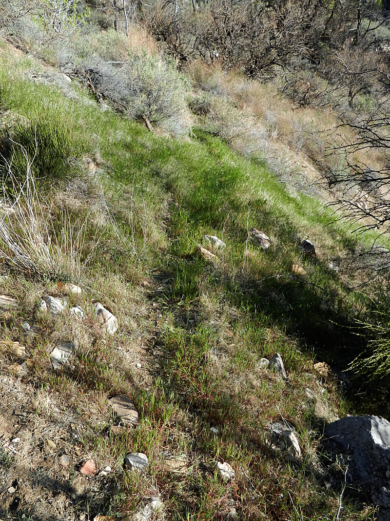 Faint trail above campsite that heads towards the ridge leading to Basalt. I was able to follow this pretty well to a higher viewpoint. |
 Looking back down to Lava spring. |
 Our route into Lava from Basalt. |
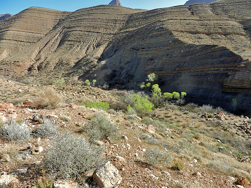
 Looking across Lava to Chuar Butte. |
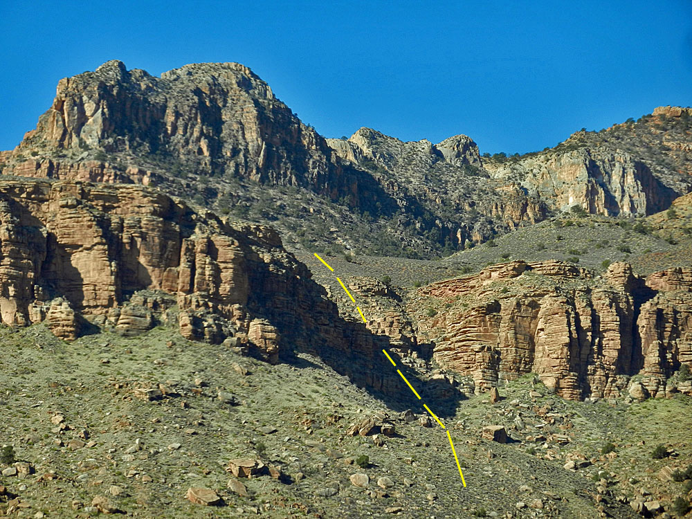
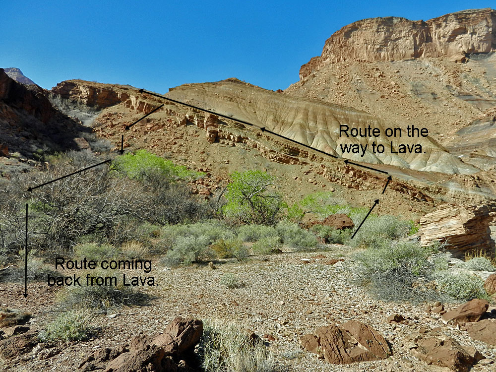
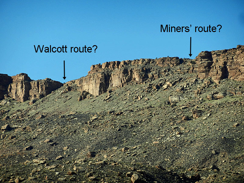 Two routes to Lava/Basalt ridge. |
|
|
|
||
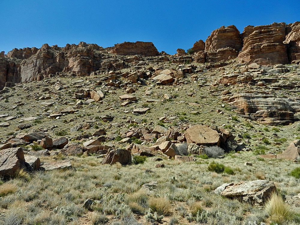 Close-up of "miners' route." |
 As I neared the base of the cliff for the "miners' route" I could discern the faint traces of a trail through here. It probably was used by miners and still by animals passing through. |
 Atop the ridge via "miners' route." |
 Getting close to these routes. |
 Looking into upper Basalt from ridge. |
|
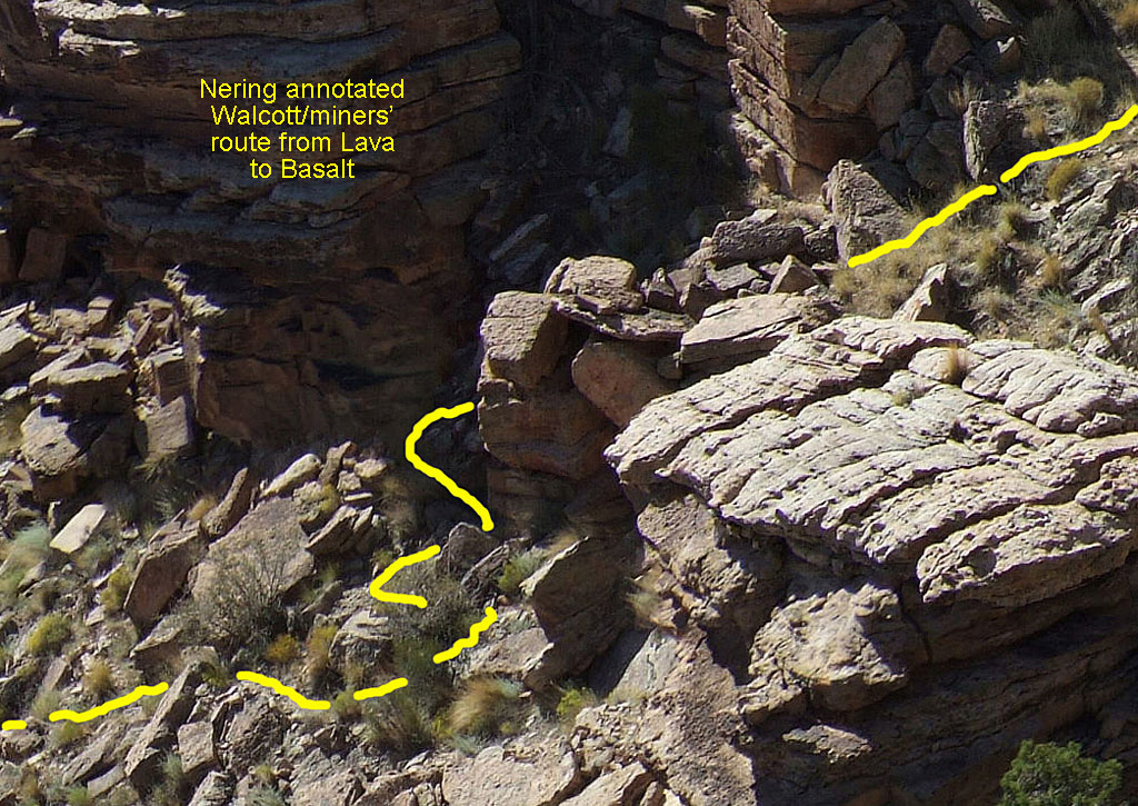 Doug Nering's guess on trail/route. |
 I picked a different route from Doug based on parts that looked like this. Here you can see a nice upward sloping track that heads for the top. |
 A false slope near the "miners' route." |
 My guess on this old trail/route. |
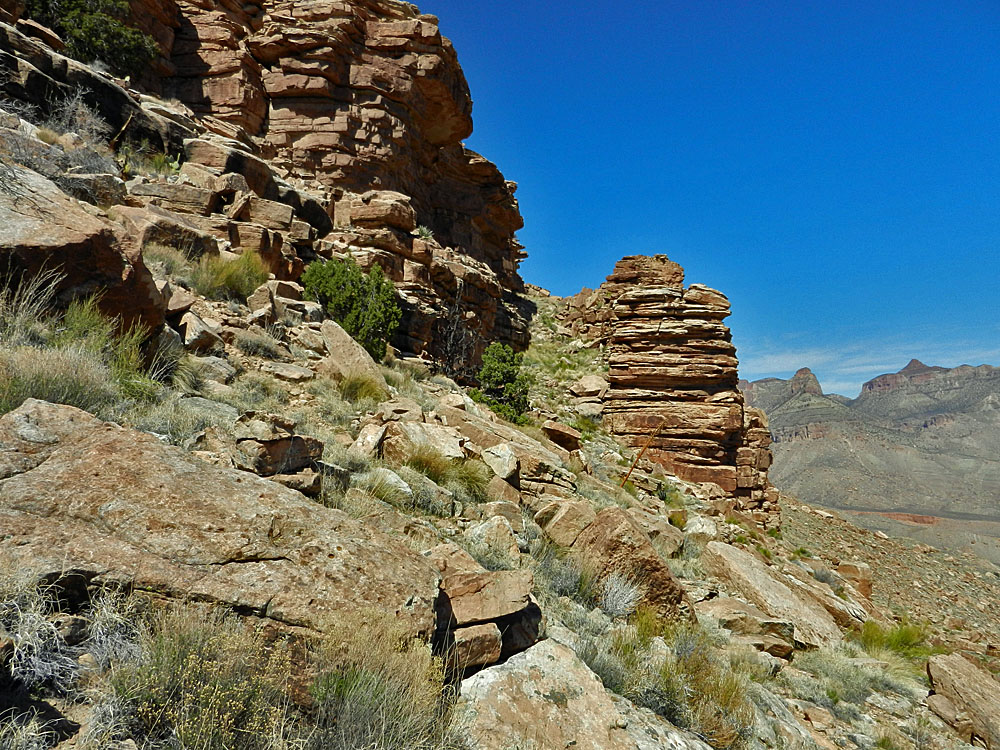
 The top of the "miners' route." |
|
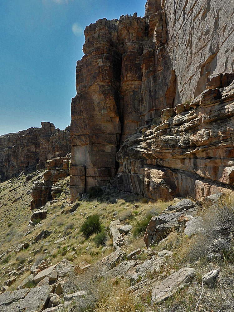
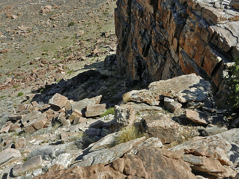 "Walcott's route?" follows cliff base. |
 The top of "Walcott's route?" |
 An obstacle for "Walcott's route?" |
|
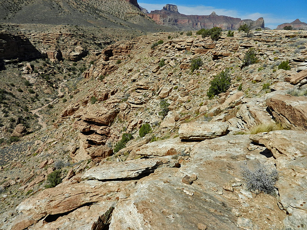
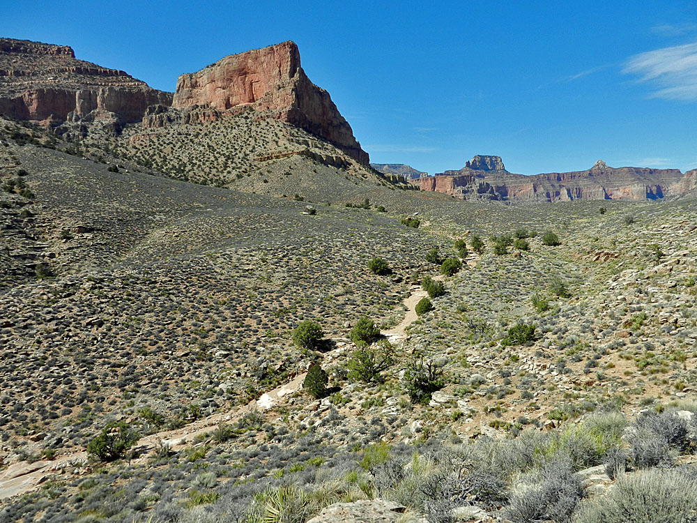
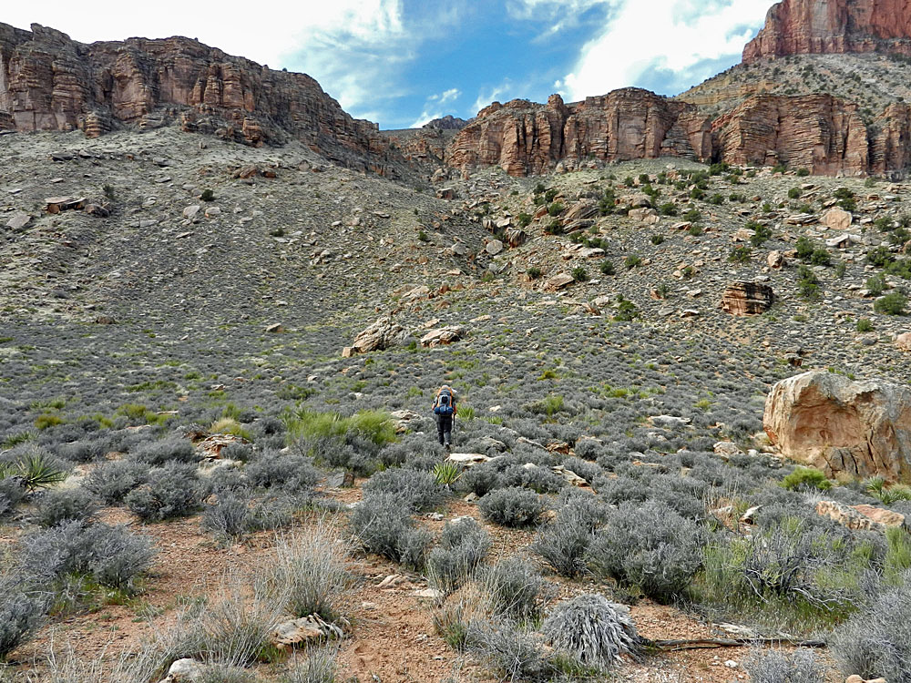
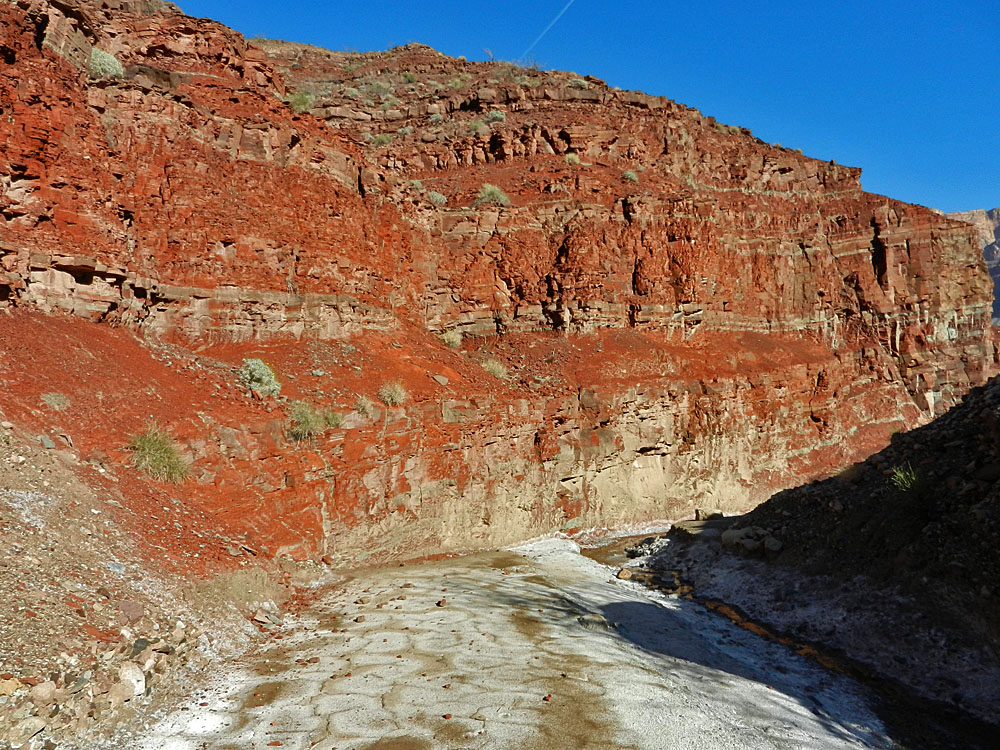
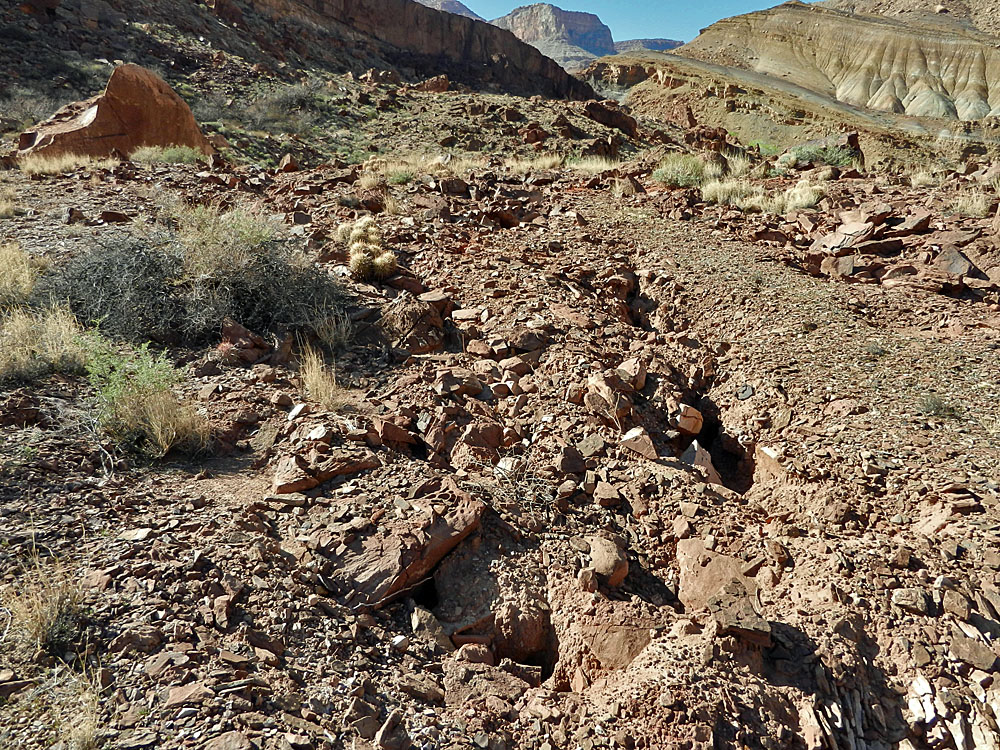
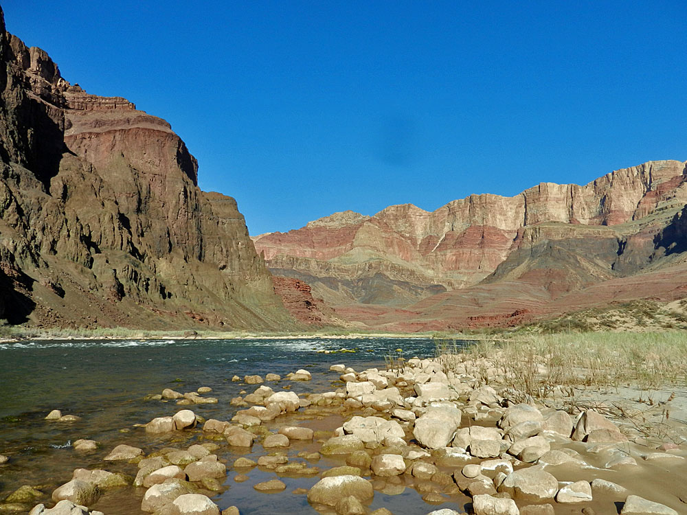
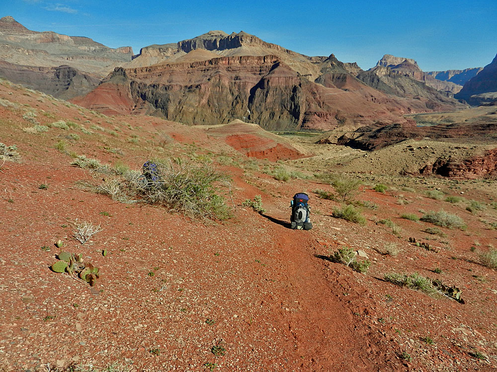
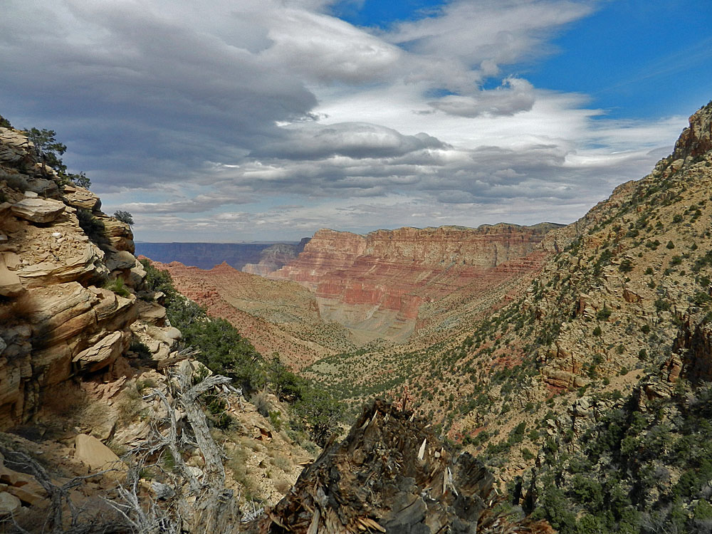
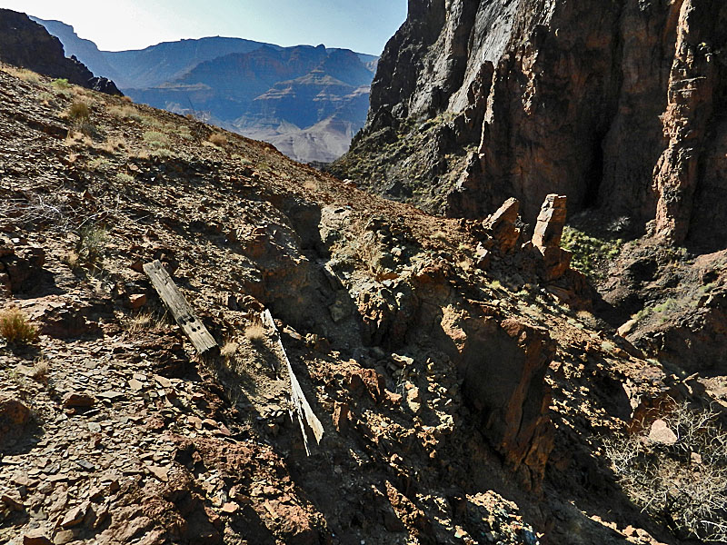
My next objective was to follow the Tonto around the head of Basalt and investigate the first major ravine on the other side of this canyon for signs that Walcott used it as a temporary camp. I have written more thoroughly on this point in my appendix at the end of this page. Following their departure from Chuar, Walcott and Hamblin spent two nights on the Tonto "in a little canon beside a few shallow water-pockets." I am convinced that this was somewhere along the west side of Basalt. There are at least three good choices here - between Juno and Jupiter, out in front of Jupiter and between Jupiter and Venus. I had come up between Venus and Apollo in 2008 with Chris Forsyth and nothing seemed obvious as a camping spot, but that certainly would have been as far as Walcott would have traveled on the day they left Chuar. I knew I wouldn't have time to check out the whole area of interest, but I did have time to check out the first drainage past the head of Basalt, that runs between Juno and Jupiter Temples. It took me an hour to reach that little side canyon, with a bit of a shortcut across the top of Basalt. It looked like a good place to camp - the trees here would provide firewood for the men and there was a flat spot more than suitable for setting up camp. But, nothing definitive. I did see a big tree stump that looked like it might have been hacked off with an axe of some sort, but I can't be sure. I do not think that any miners roaming around this area in the years after Walcott would have spent any time on this side of Basalt. Although Walcott used it as a route to Unkar, it is faster/easier to follow at/near the river between Basalt and Unkar or to use the high pass from Lava into Unkar directly. I spent about 25 minutes looking around here and at 2:45 p.m. started heading back to Chuar. |
|
|
||
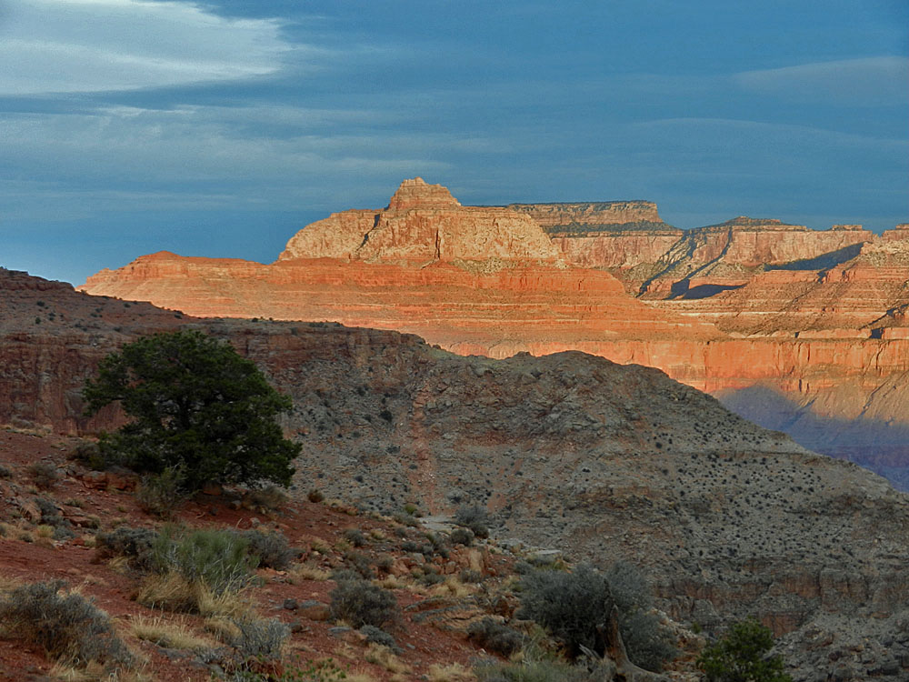
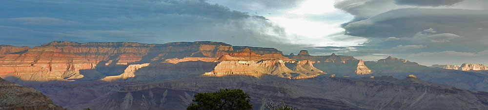
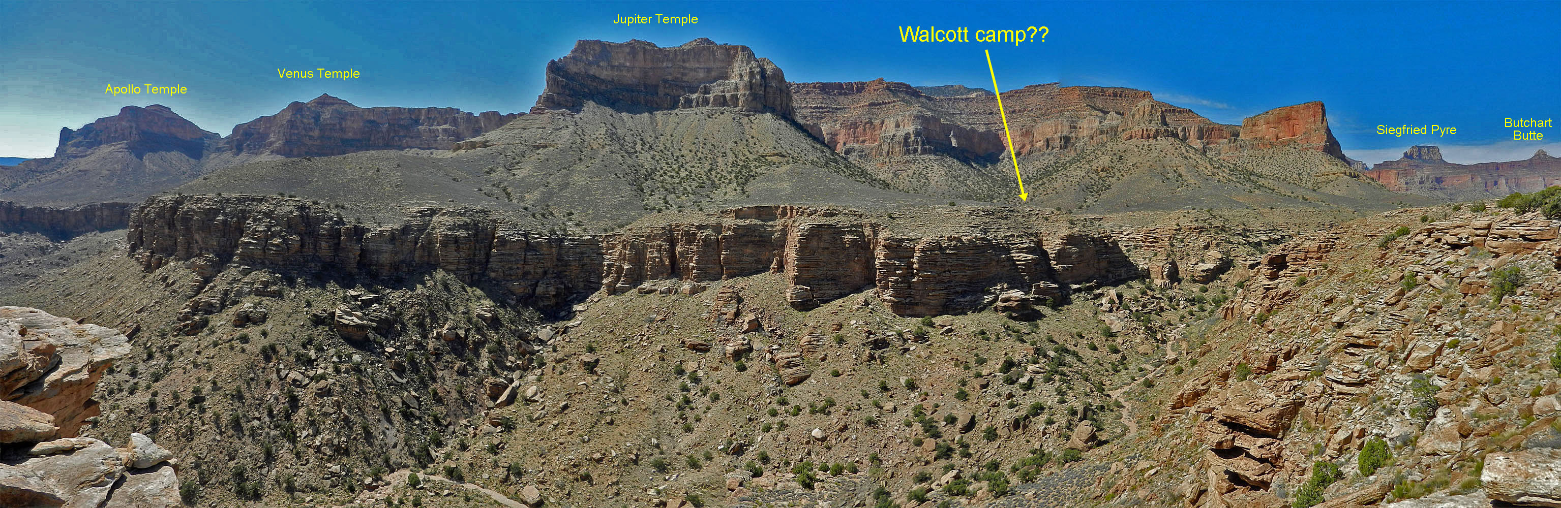 Panorama of west side of Basalt from Lava/Basalt ridge. Walcott camped somewhere over that way in 1883. |
||
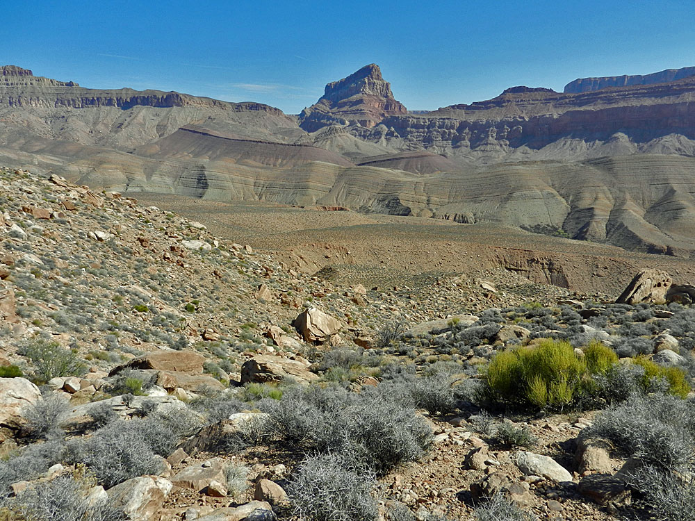
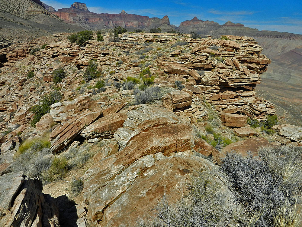
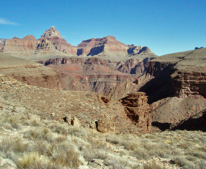
 The upper end of Basalt. |
 A possible camp site? |
 Natural, or not, severed stump? |
 Looking across this possible site of one of Walcott's 1883 camps. |
||
|
On my way back, I decided to cache a liter of water at a solitary tree, for the return trip tomorrow. Having covered this Walcott/miners route, I was sure that the route Bill and I followed into Chuar would be the best way to exit. It was 3:30 p.m. when I cached the water, 3:45 p.m. when I was down through the Tapeats, 4:45 p.m. when I was on the final slope that would go all the way to the creek, and 6 p.m. when I reached camp. It had been a full day. |
|
|
||
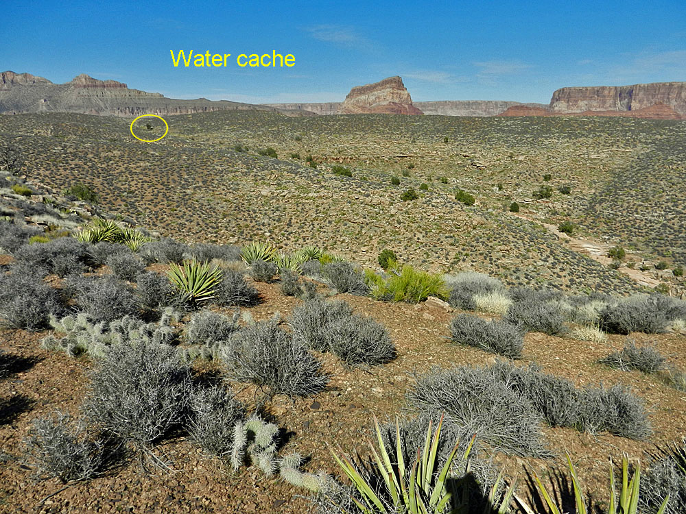 Upper Basalt, where I cached water. |
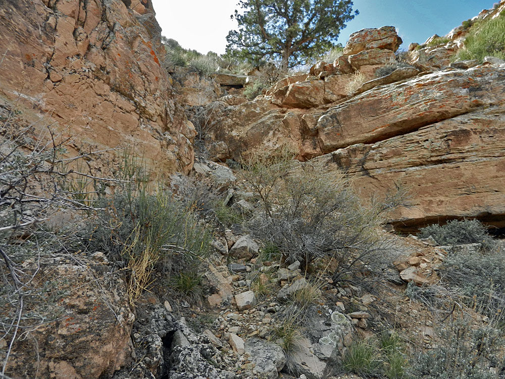
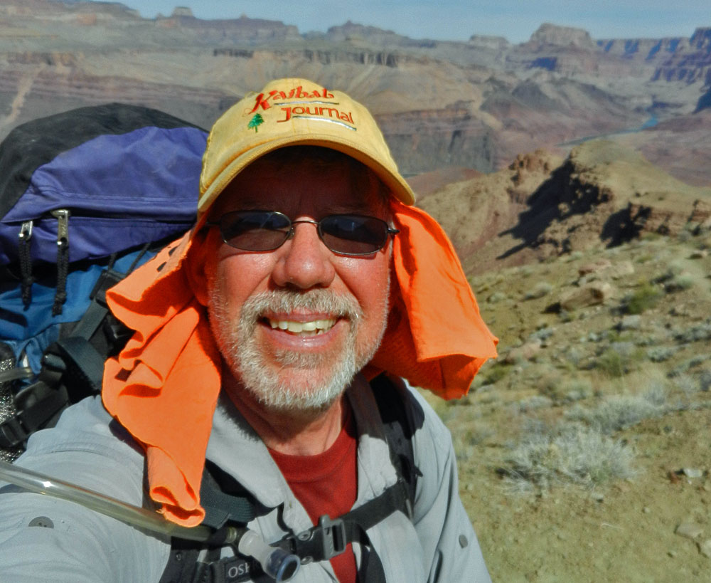
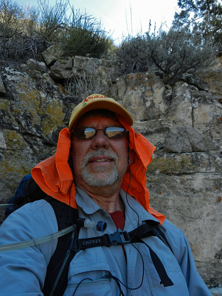 Self-portrait at one of the cliff breaks from the head of Basalt that leads down into Lava. |
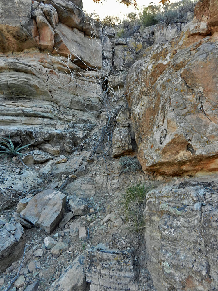 One of the little cliff breaks that you must navigate on the way down into Lava from the head of Basalt. |
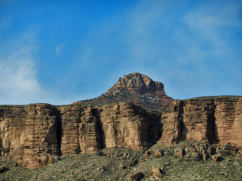 Butchart Butte and the moon. |
||
|
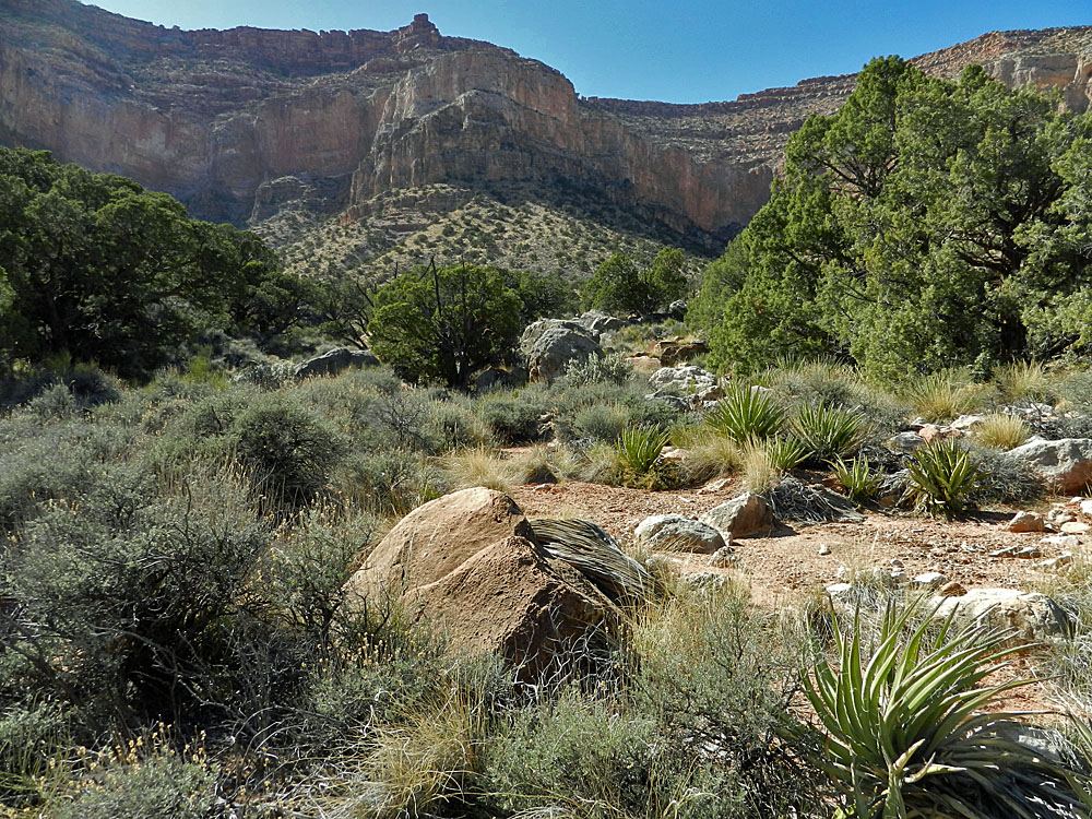
We followed the bed down until 2 p.m. to a place where we could descend into the middle valley. Instead of going down the steep tilted rock slope we opted to head for the treed ravine, cross it and stay closer to the bottom of the Tapeats and descend to the bed further downstream. Well, it was a good idea, but fighting our way through the brush was fairly awful. And, the final descent was more tricky than we had imagined. We got down right near the upper falls (near the mine site) at 3:30 p.m. It took us another hour and a half to reach our old campsite. It was a bit warm in the sun, but we enjoyed the clear blue skies and the relatively easy walking. After the sun set we had some bugs but they were not as bad as back in Lava. |
|
|
||
 Bill heads up to Lava/Basalt break. |
 Cliff break near the top of route. |
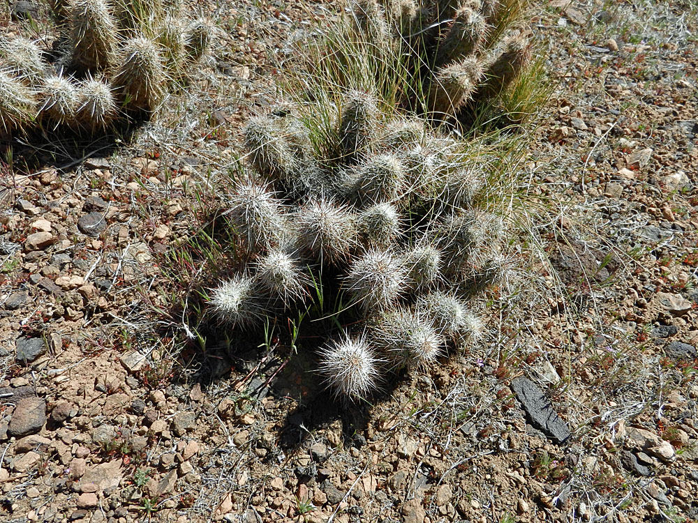
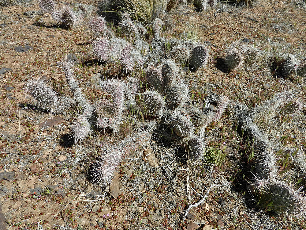 Cactus. |
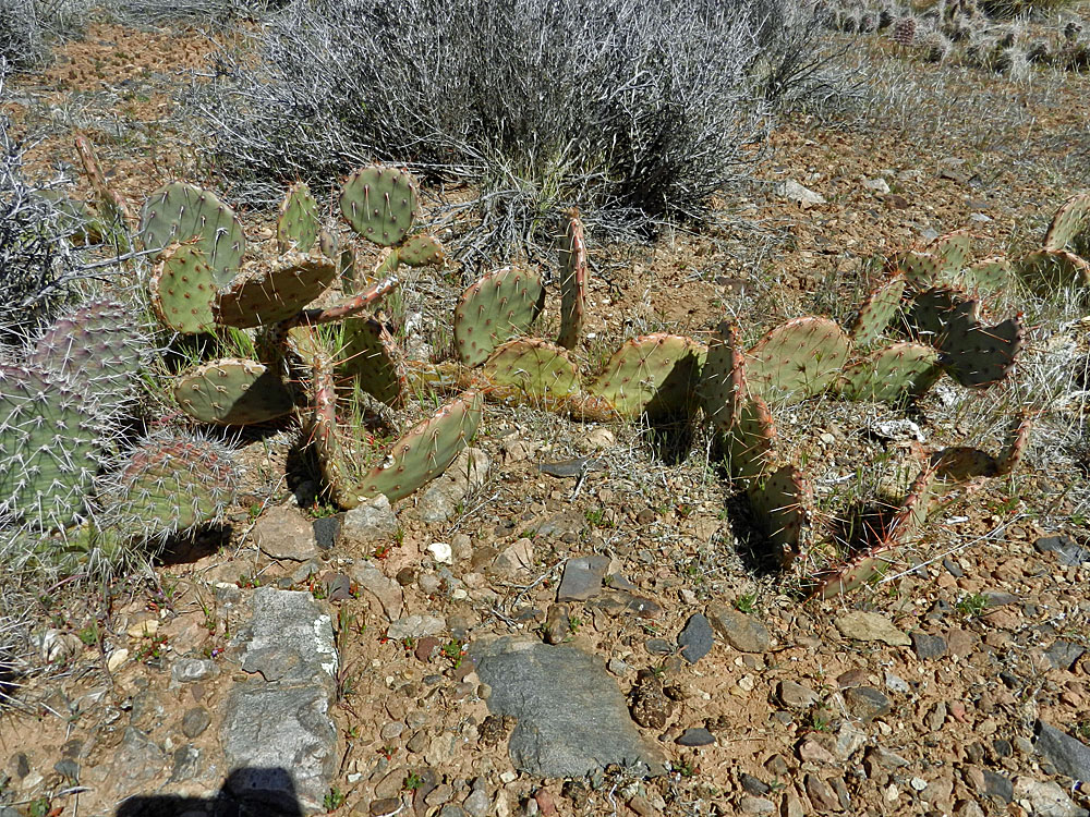 More cactus. |
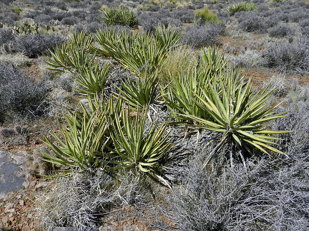 Yucca, which is kind of like cactus! |
 Rest break at my water cache tree. |
 Getting in and out of middle Basalt. |
 The high falls that mark the end of lower Basalt and the beginning of the middle section of Basalt. The old copper mine is just above these falls. |
 Smooth hiking in lower Basalt. |
 High route in middle Basalt. |
 Camp on Basalt bluffs. |
|
|
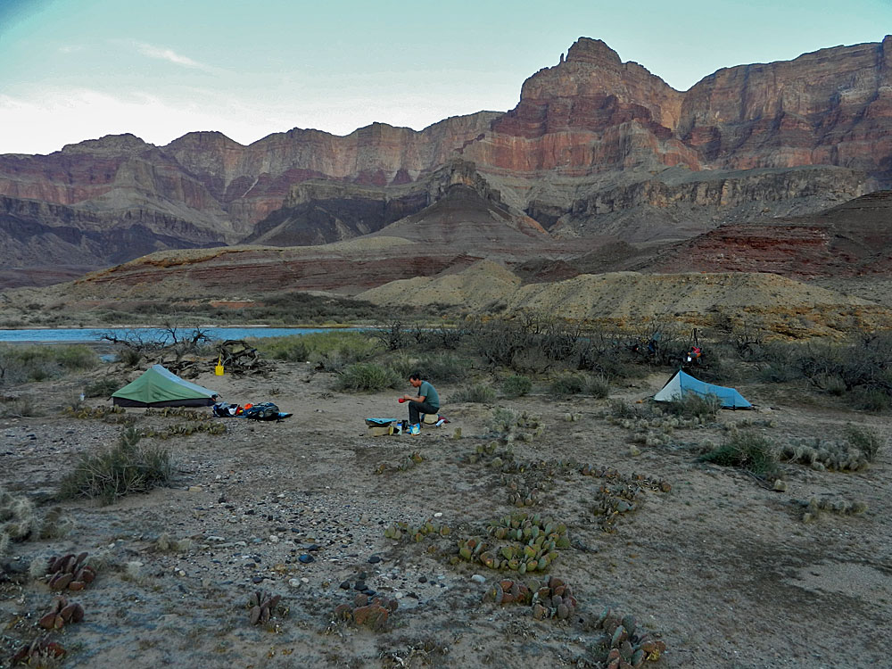
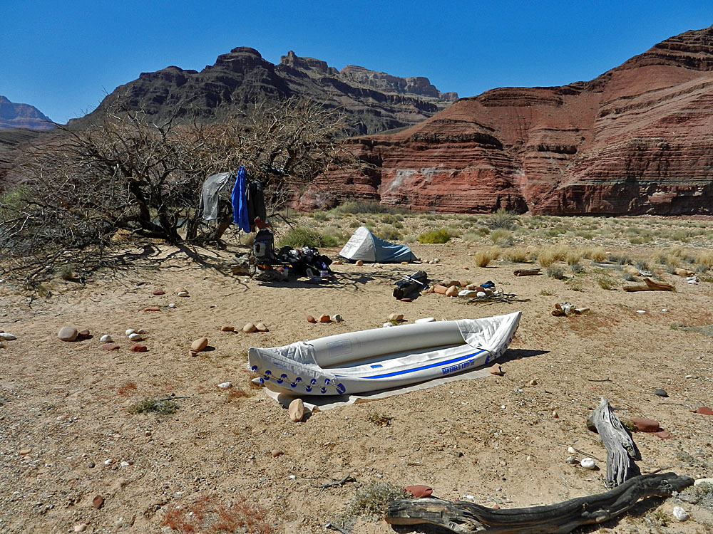
We crossed back without incident and loaded up the rest of our gear. This time, we stayed in the river longer and landed the kayak on the beach near to our camp site. We were all done with this by 11 a.m. We got set up, had lunch and then just kicked around for the afternoon. Bill's thermometer read 88 degrees and it felt hotter in the sun. I packed up the kayak and took a late afternoon walk back to our launch beach to snap some pictures that would closely replicate the drawings made by B. L Young back in 1883 while he was on the Walcott survey. I couldn't get it exactly right, but then they were on the north side of the river and it was a drawing that he made. |
|
|
||
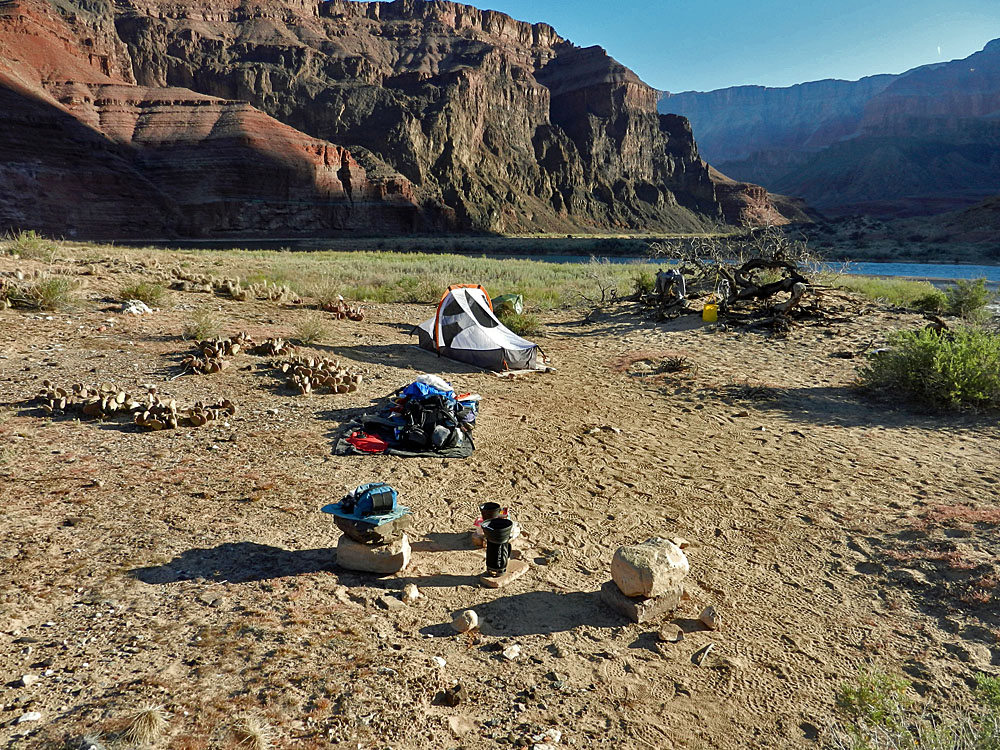 Early morning at Basalt camp. |
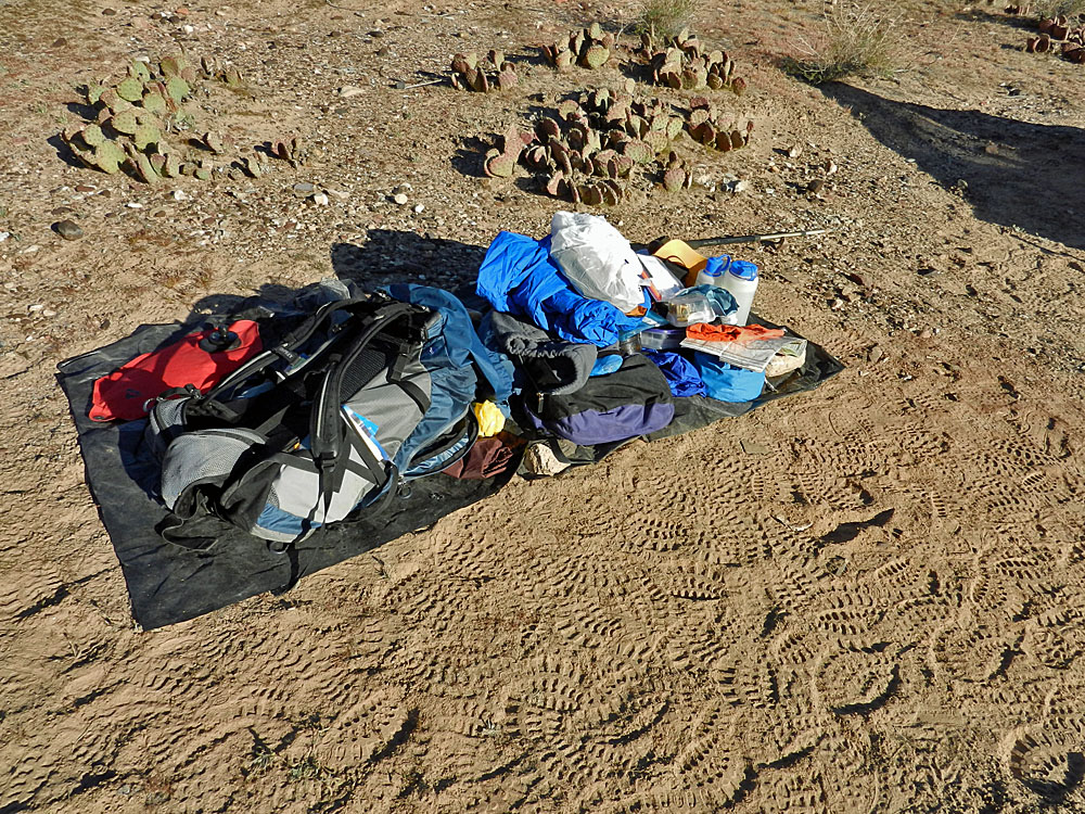 Garbage bag serves as packing mat. |
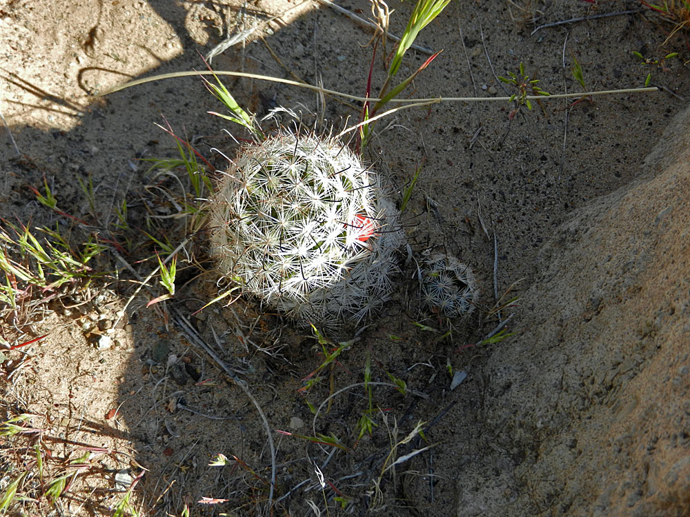 Cactus. |
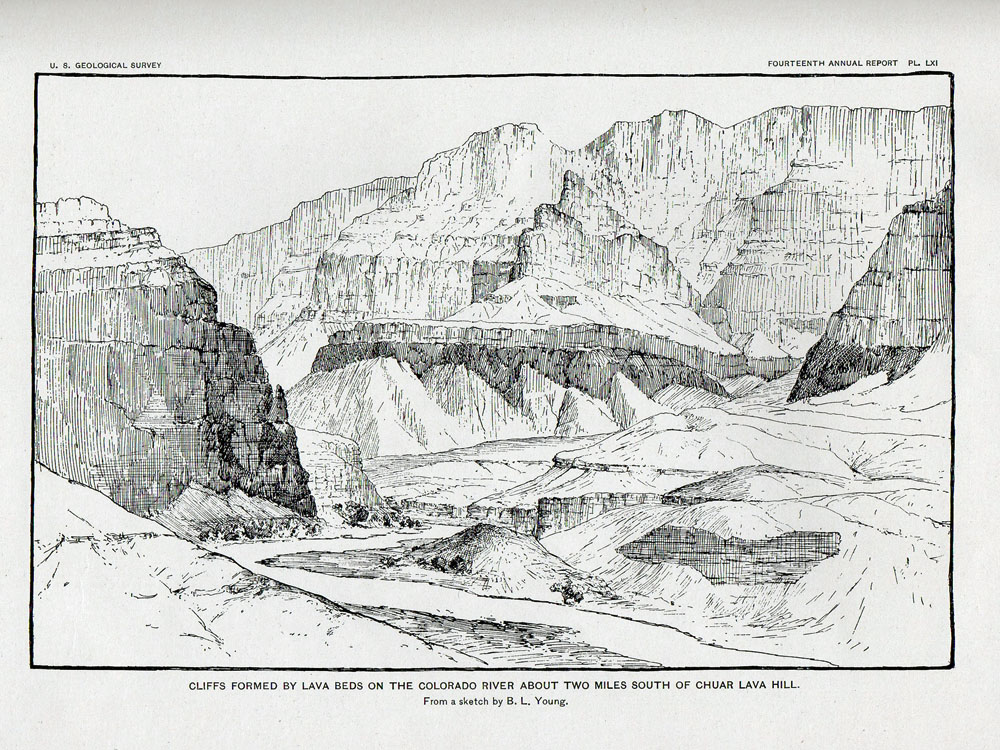 B. L. Young drawing (1883) ... |
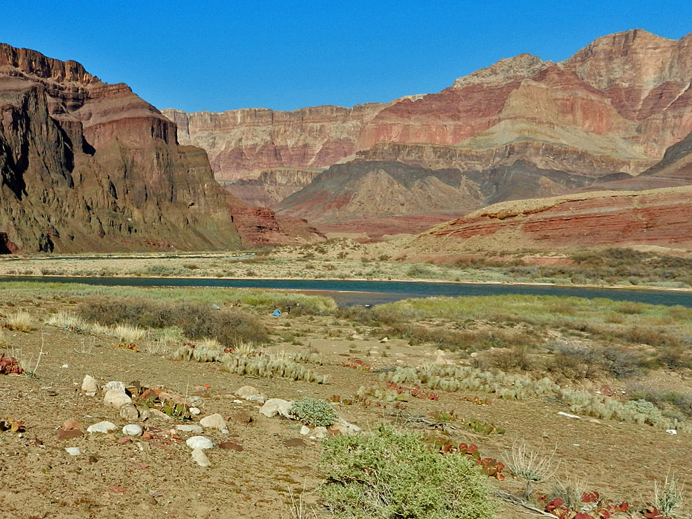 ... compared to my photo (2012) ... |
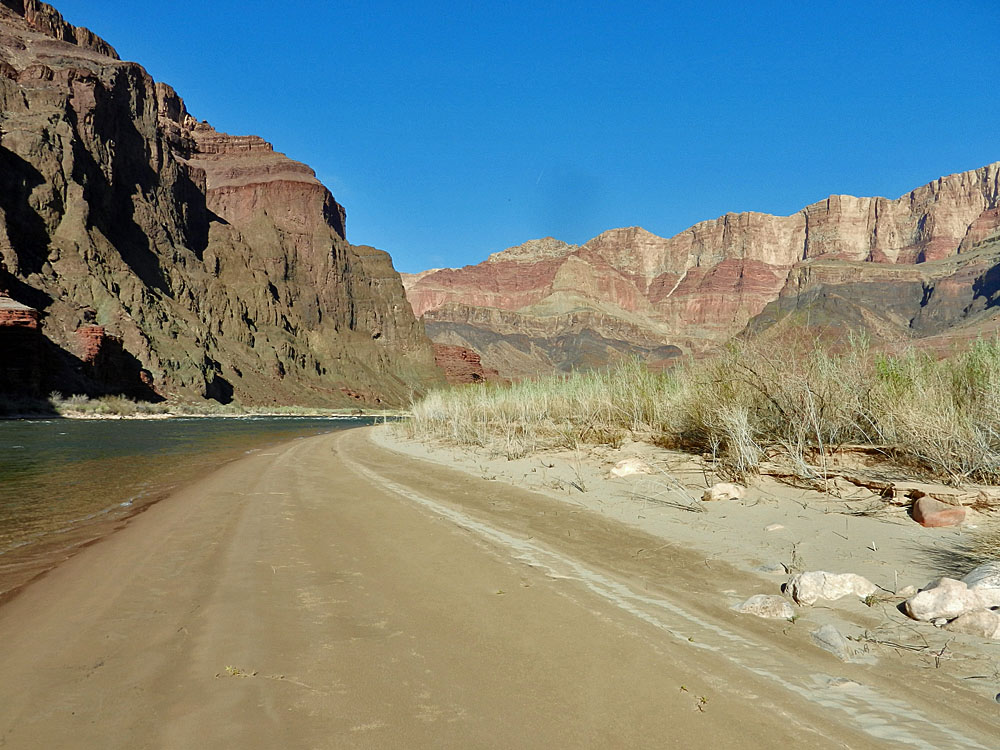 ... and along the beach below Tanner. |
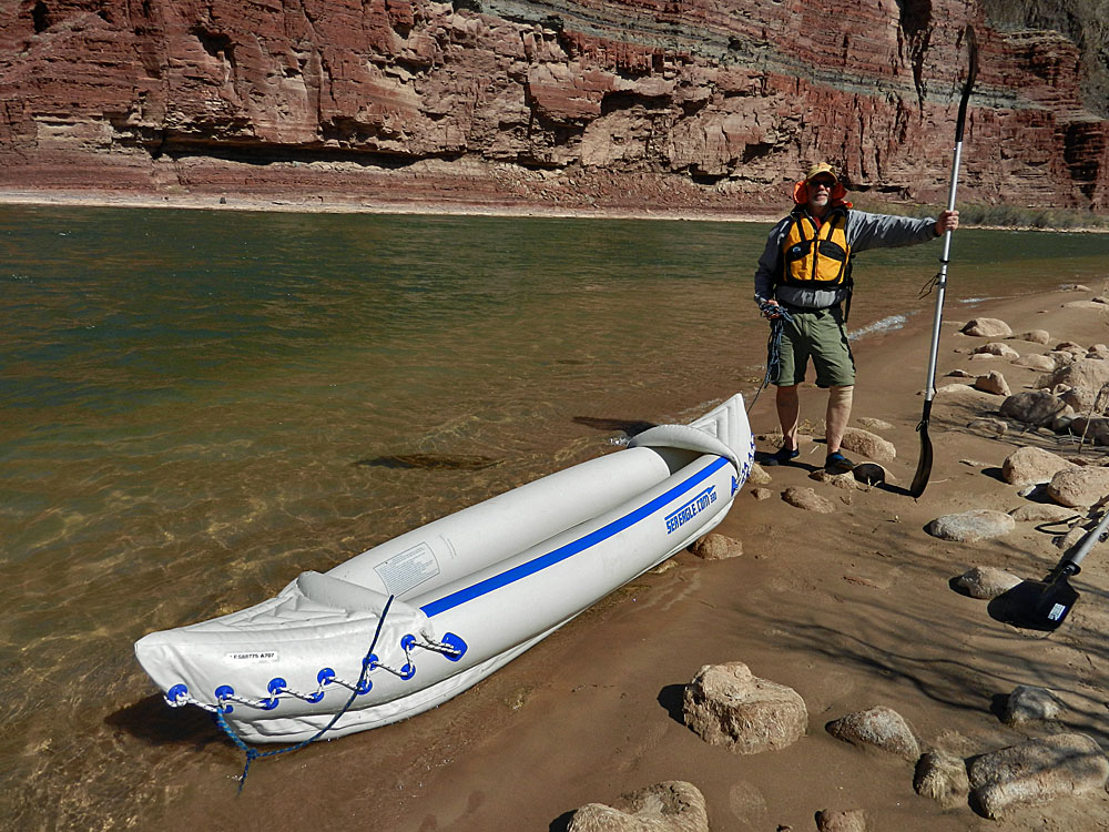 Dennis and the Emma Dean. |
 Tanner camp. |
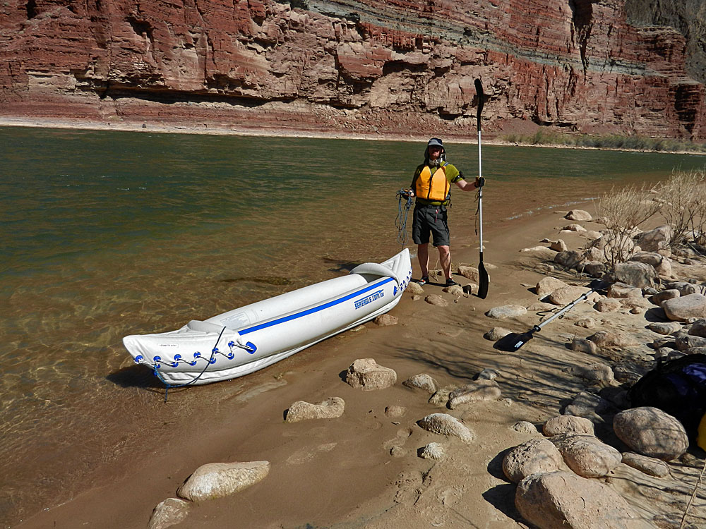 Bill and the Emma Dean. |
 Tanner rapids. |
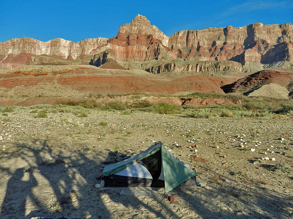 Tent and Comanche Point. |
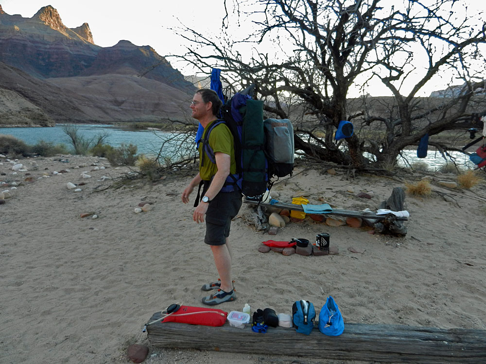 Bill tries on the kayak pack. |
|
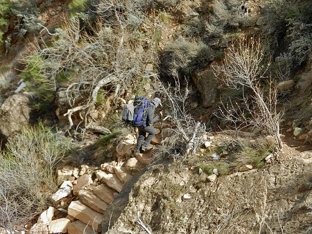
Day 8 - Two men and 3 packs to the top of the Redwall (Friday, March 16) - We were up at 6:15 a.m. and on our way by 8:30 a.m. Now the work really begins as the two of us have to haul up three packs - ours and the kayak. Bill took the first shift with the kayak. We hiked together up to the trail and then he dropped the kayak and returned to camp to get his pack. I hiked up to the top of the Redwall, where we would camp and then returned to meet up with Bill and take over the chore. We had reached the Tanner Trail at 9 a.m. and I had reached the Redwall camp at noon. I got back to Bill at 1 p.m. at the bottom of the Tapeats where he was having lunch and not doing well with the pack and the heat. I started the shuttling of the packs from here and was atop the Redwall at 4:45 p.m. Since we don't need the kayak with us, I hiked along the trail to the top of the next hill and then hung it up in a tree. It was windy and overcast late in the day and it was challenging to get the tents set up without them blowing away. We were both quite beat from the day's hiking and I was in my sleeping bag before dark. |
|
|
||
 Back on the Tanner Trail. |
 Kayak pack in bush. |
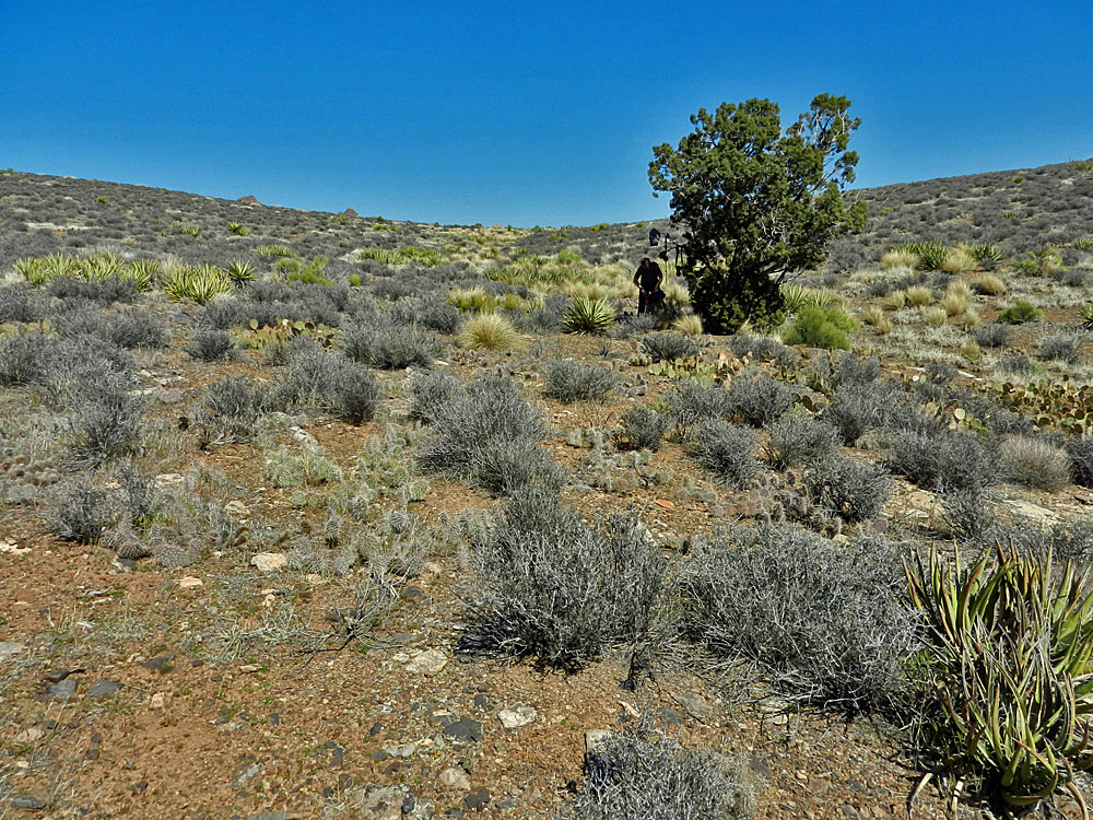
 Up in the BA shale. |
|
Day 9 - Out (Saturday, March 17) - The morning light was quite a sight. Bill was up and taking photos well before I crawled out of my tent. For this day I will do the shuttling of the packs and Bill will hike up to the trailhead and then come back to relieve me. I was on my way at 8:40 a.m. with some dark ominous clouds overhead. But, that didn't last and it was a fine day for our hiking. I picked up the kayak at 9 a.m. and hiked it to the giant rock campsite on the Esplanade by 10 a.m. Then it was back to my pack. Forty minutes later I had returned to the giant rock with my pack. I carried the kayak to a rest stop just past 75 Mile saddle and dropped it there. I returned with my pack by 12:30 p.m. and took a fifteen minute break. At about 1:30 p.m., while I was up in the Supai, Bill returned and took over on the kayak. Of course, now we can hike together since his pack was up at his car. We reached the top of the trail at 3 p.m. and fifteen minutes later we were in his car and heading home. |
|
|
||
|
|
||
|
|
||
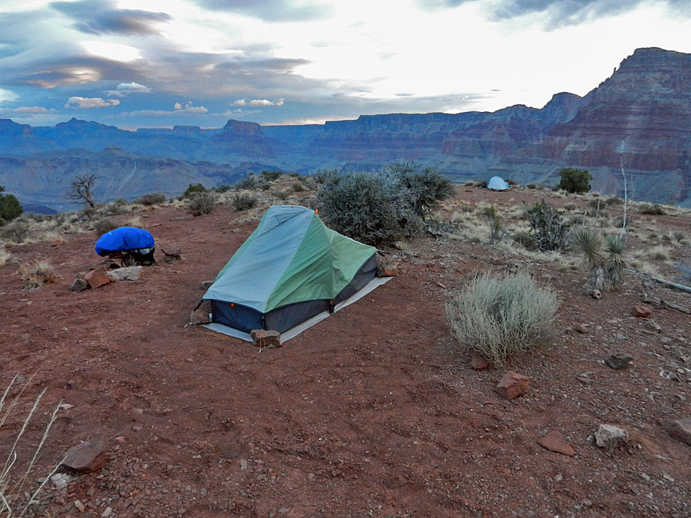 Redwall camp. |
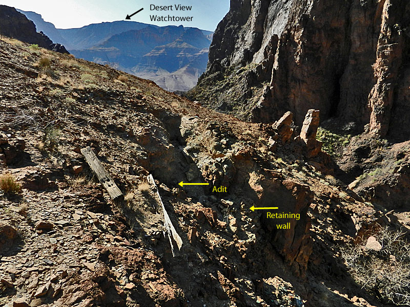
 View of the Watchtower from camp. |
 Vishnu Temple at sunrise. |
 Looking down trail canyon. |
 Bill w/kayak pack on Coconino steps. |
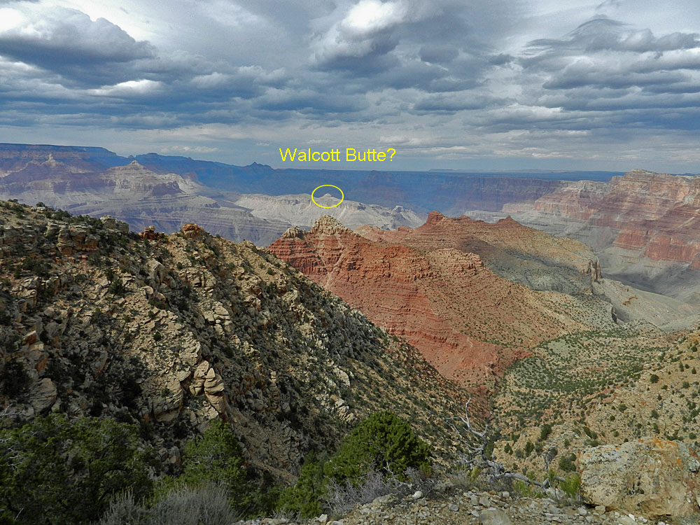 Looking back - Walcott Butte? |
| Once home I weighed the packs. My pack was 36 pounds and included 28 ounces of water. The kayak pack was 46 pounds and included about 20 ounces of water. |
|
|
|
|
|
|
See Bill Ferris' trip report at his website - Grand Canyon Adventure |
|
|
||
|
|
Return to Hiking Grand Canyon home page |
|