 |
|
|
Hance Trails Area Various Short Trip Reports by Dennis Foster |
|
|
|
|
|
|
|
Hance Trails Area Various Short Trip Reports by Dennis Foster |
|
|
|
|
| Writing up a full-fledged trip report for every hike I have done in the Grand Canyon would suffer from at least two problems. One, there are plenty of trips where not much happened. This was especially the case for day trips that I took mostly for the purpose of hiking down and back as fast as I could. Second, it would get repetitive. How many trip reports do you need to read on hiking to Plateau Point? Well, just one really. But, there are usually some interesting features to remark on for every hike, and some unique photos. So, I will endeavor to fill in this page (and, others) with these short stories and photos. They are arranged, from top to bottom, in chronological order and linked to the list below. | |
|
|
|
|
|
|
|
|
|
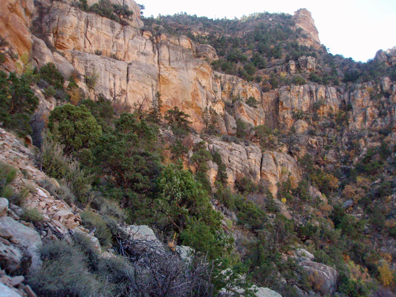
The Escalante Route - A Failed Attempt
While working up at the South Rim for all of 1981, I did quite a bit of
hiking. In November I decided to try and hike the so-called
"Escalante Route" which runs between the New Hance Trail (to the west)
and the Tanner Trail (to the east). I |
|
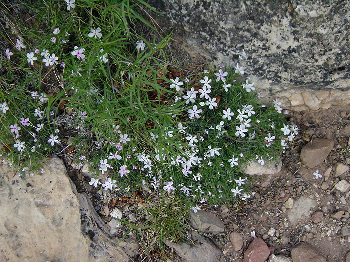
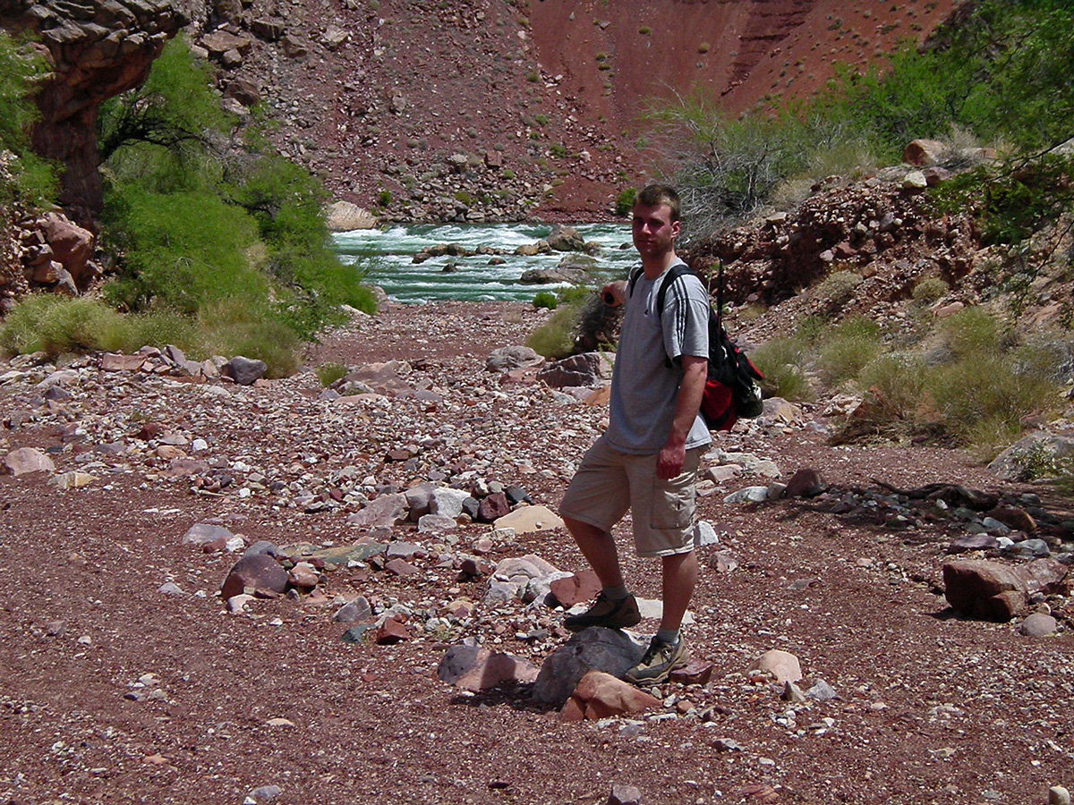
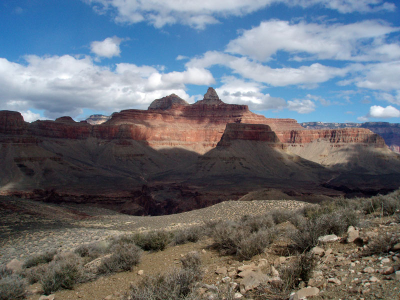
To the rapids and back The wildflowers were in full bloom as Erik Drake and I did a day hike down the New Hance trail to the river and back. I must have taken some notes but they now elude me. According to the time stamps on my photos, we started down at about 9 a.m. and reached the river at 1 p.m. We hung around there for a short time before having lunch in the shade of a huge rock (shown below) as I remember it was very hot. The last photo I have is of Erik up in the Toroweap and it is time stamped as 8:42 p.m. Since there is still some light (although, clearly after sunset), I'm wondering if my camera wasn't keeping Rez time and we weren't really an hour earlier than the times mentioned? One of life's many little mysteries. |
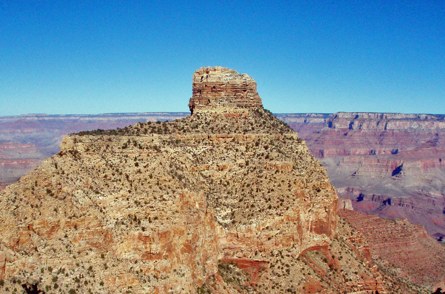
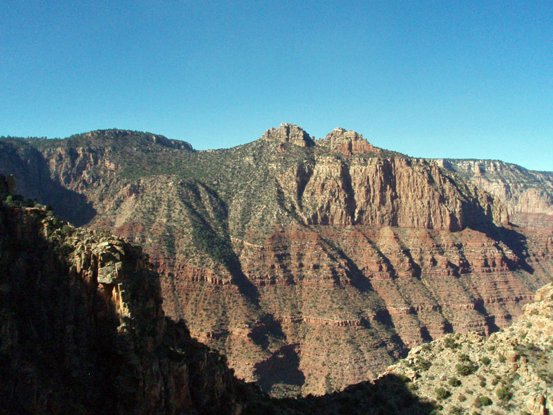
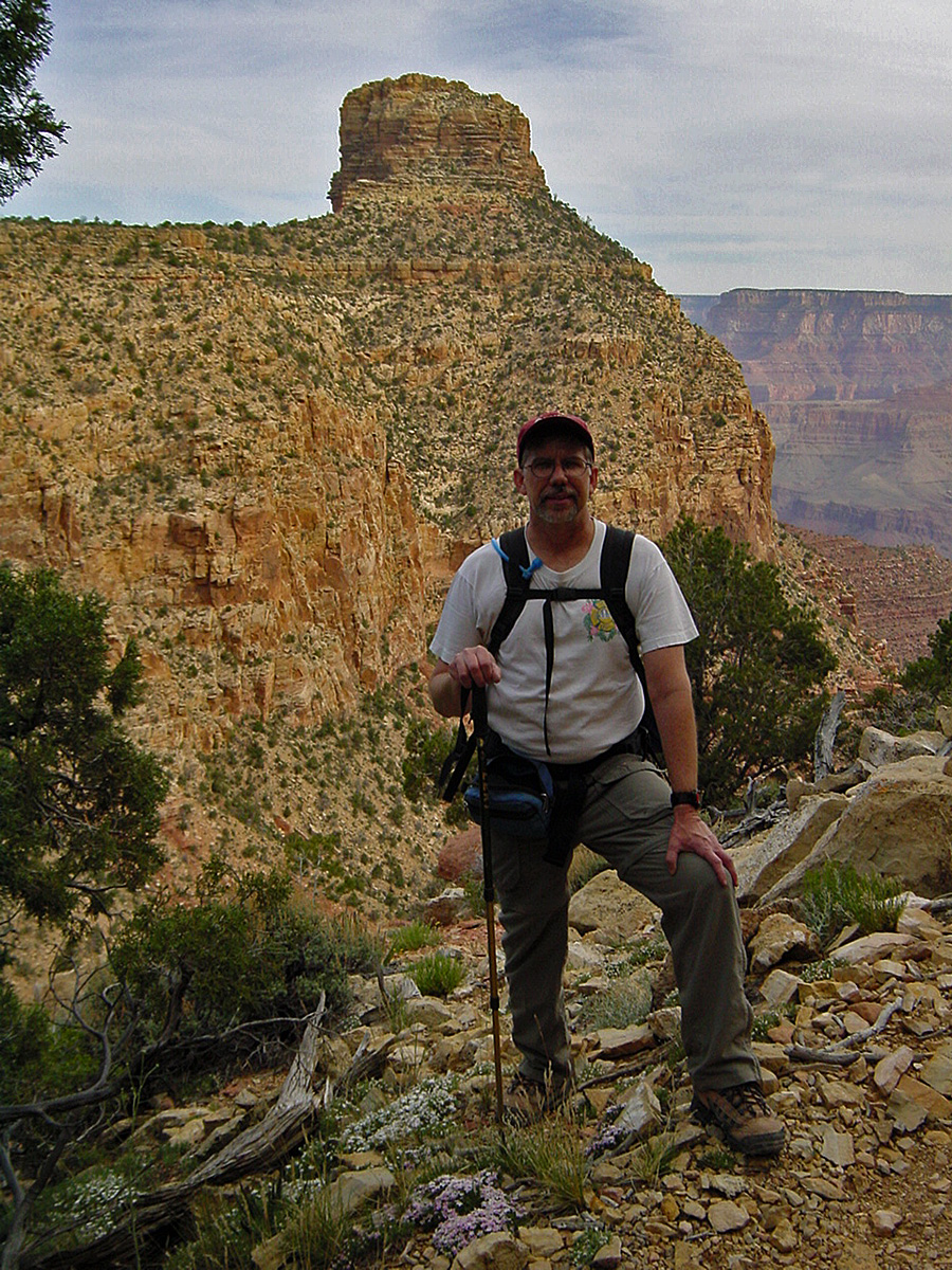 On the trail with Coronado Butte. |
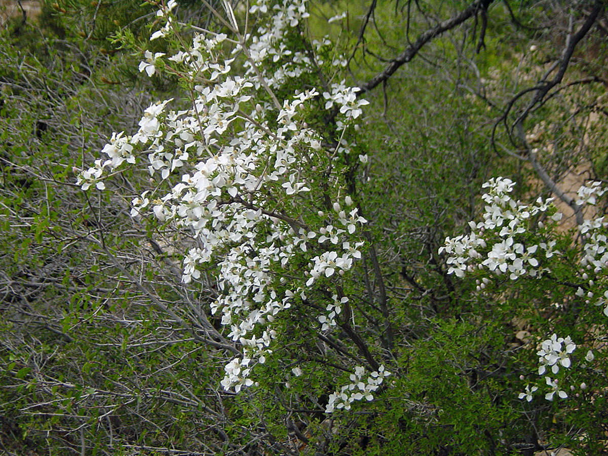 Wildflowers in bloom. |
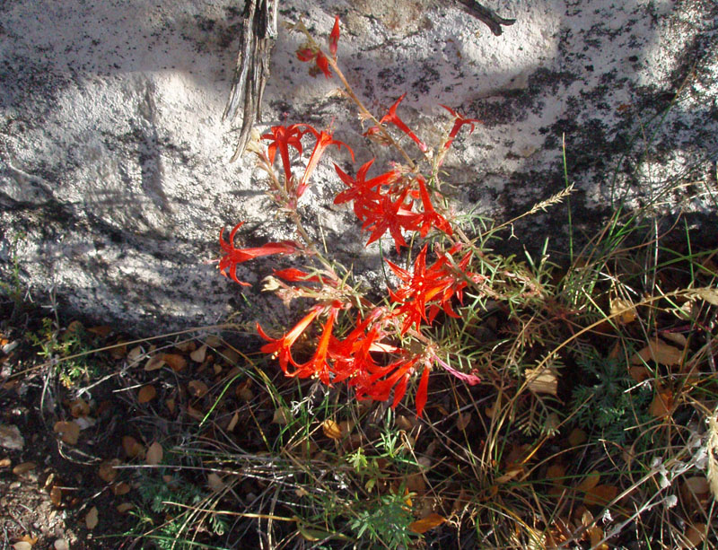
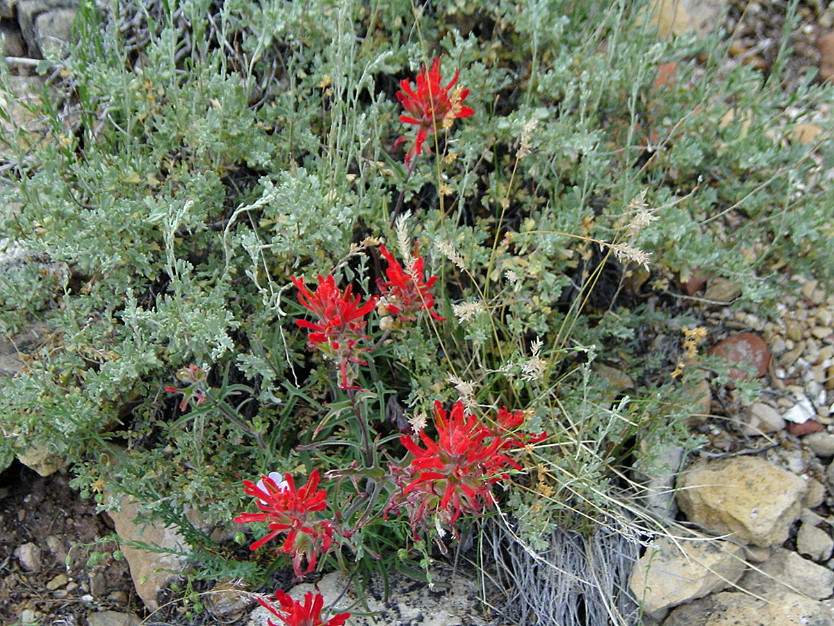 Indian Paintbrush. |
 More wildflowers in bloom. |
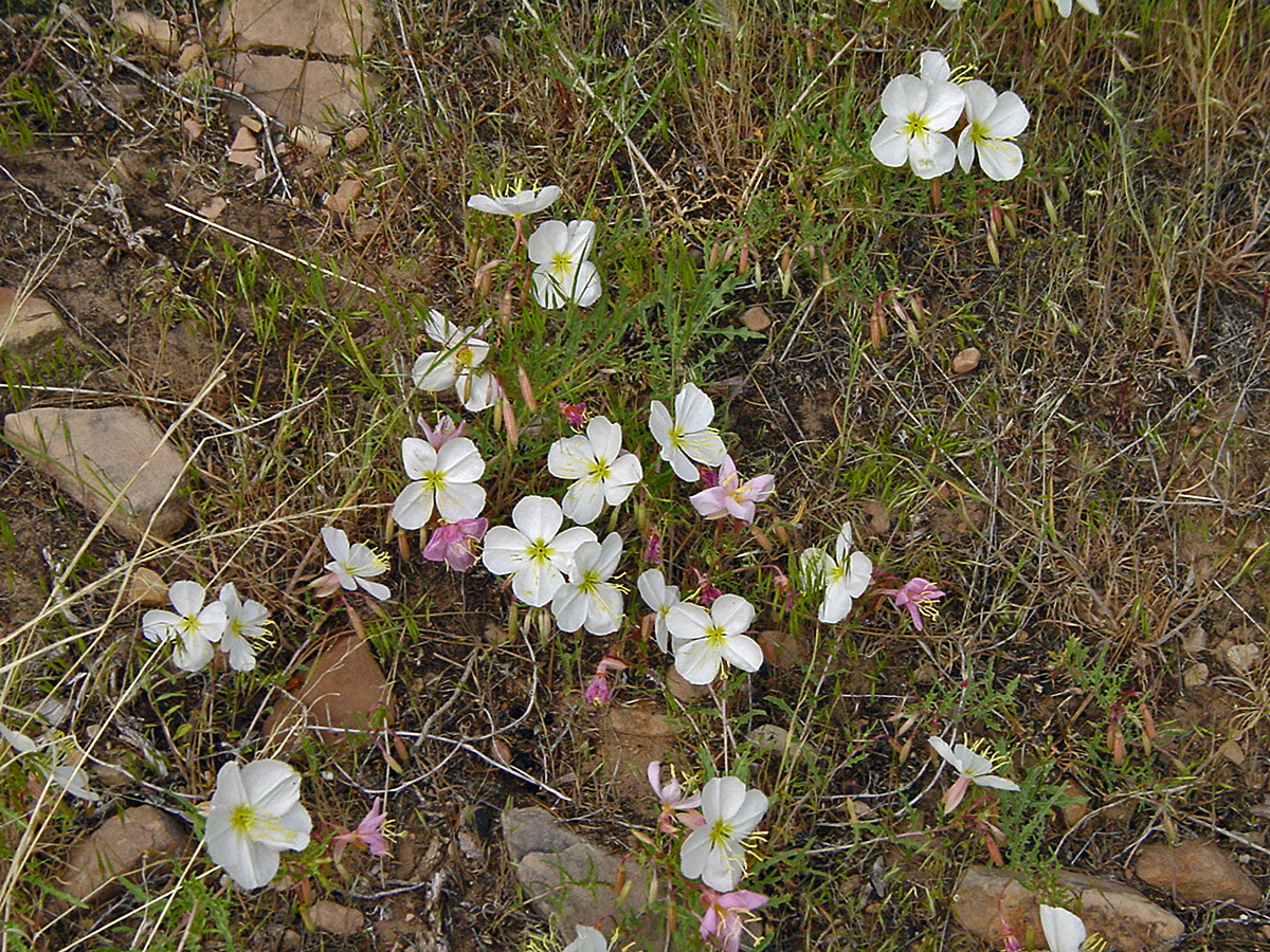 Still more wildflowers in bloom. |
|
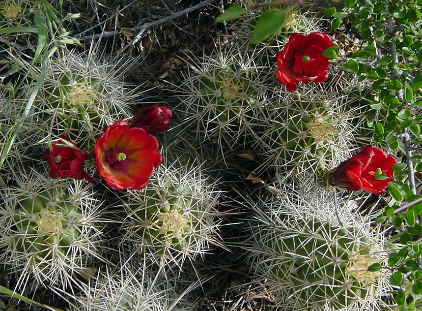 Blooming cactus. |
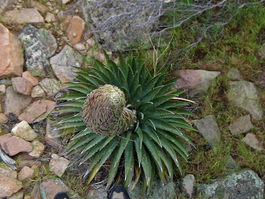 Birds-eye view of growing agave. |
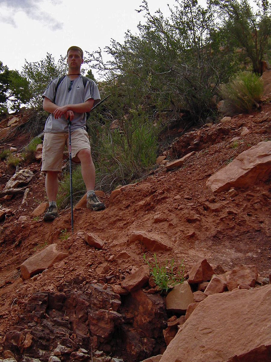 Erik along the trail. |
 Nearing the river. |
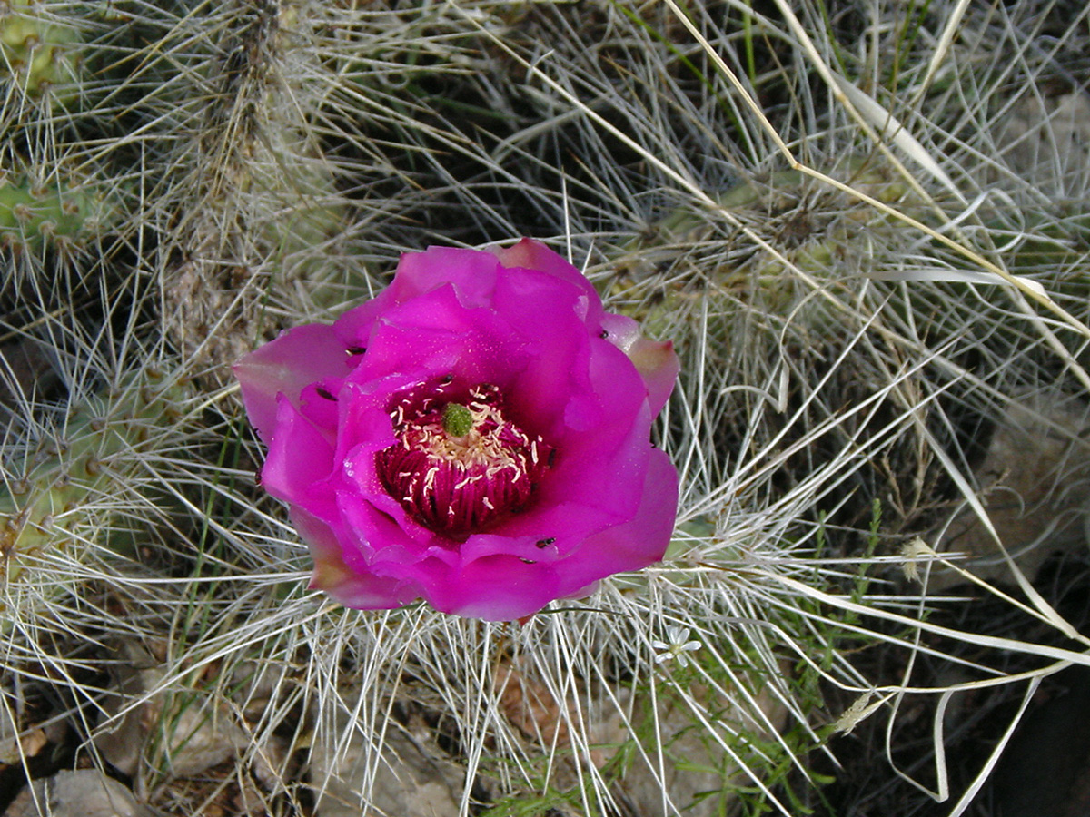 Blooming cactus. |
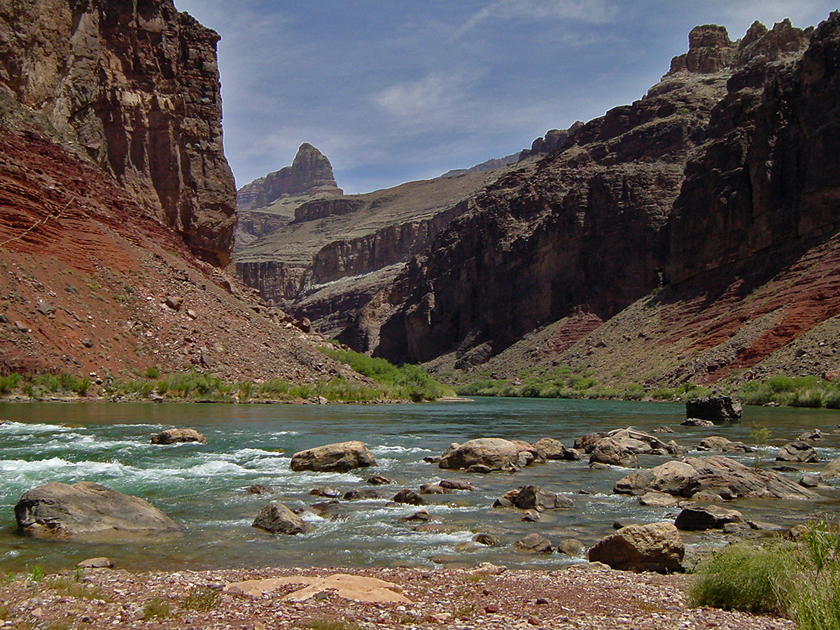 Hance Rapids. |
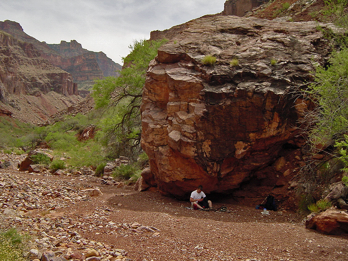 Lunch spot. |
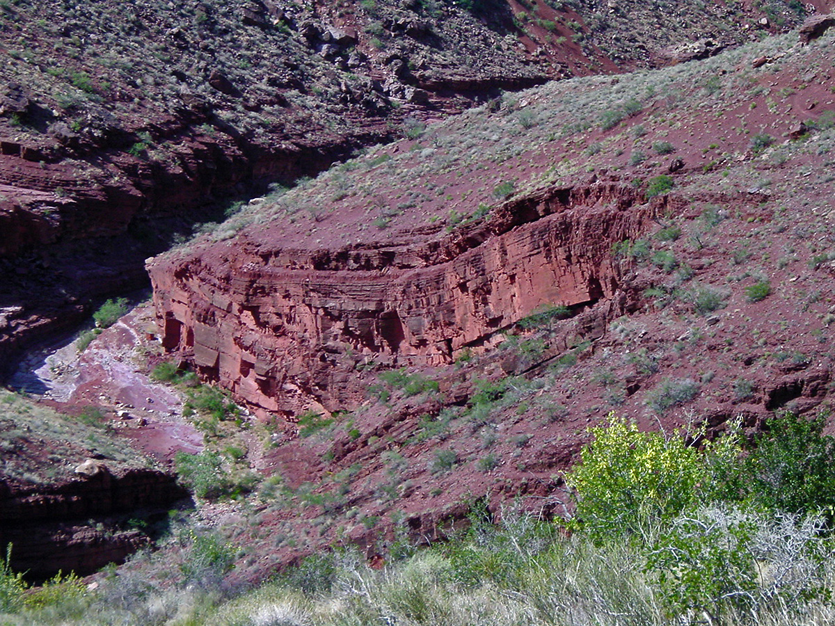 Warped rock layer. |
|
|
|
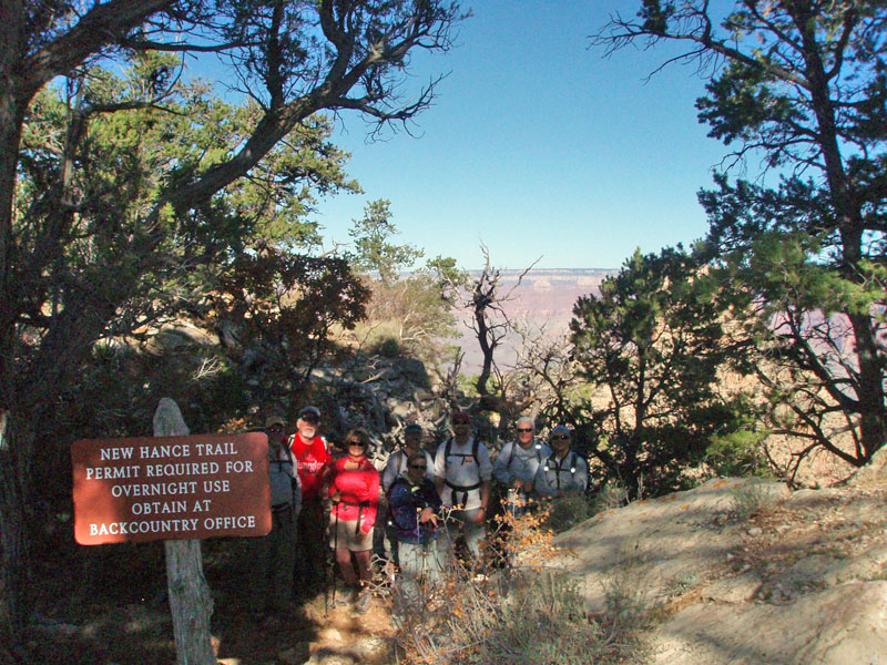
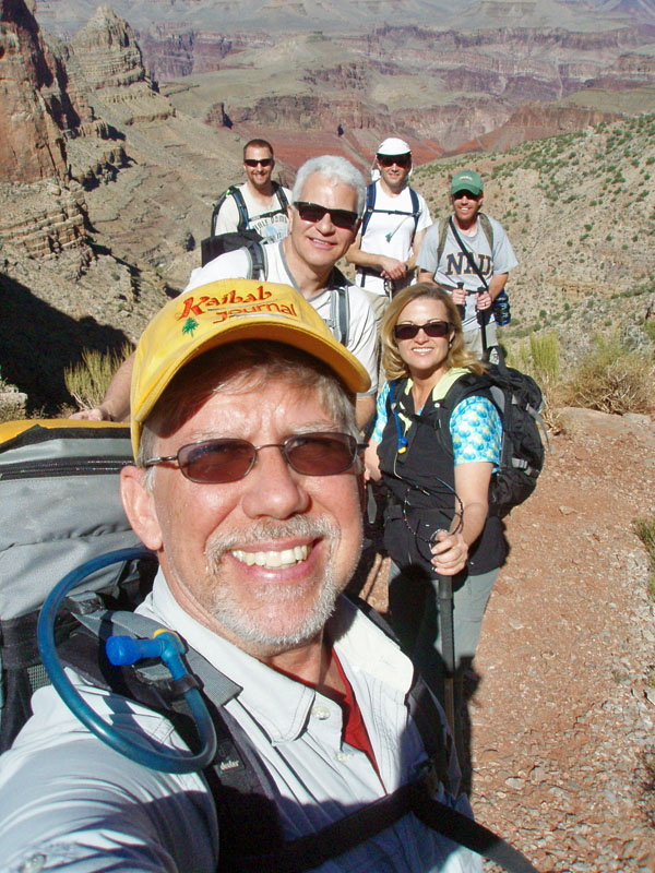
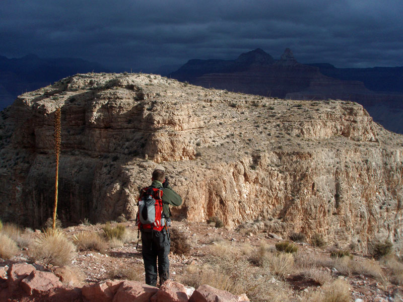
Atop
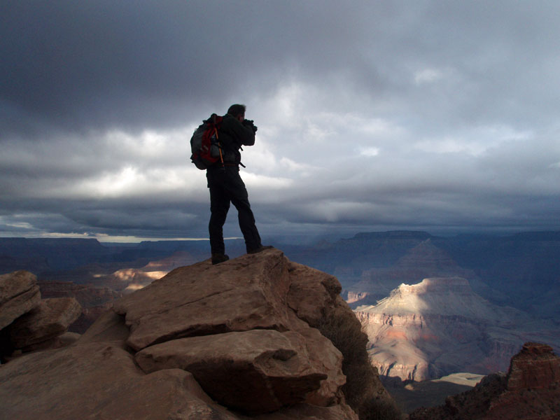
the Redwall on New Hance With just a
few exceptions over the years, a faculty hike is organized that I put
together. All are colleagues of mine from the business college at
NAU. This year we did the New Hance trail, down to |
|
|
Return to Hiking Grand Canyon home page |