|
A
short, hot, hike down Sowats
Sunday, August 7, 2011
On the Yahoo
Grand Canyon Group one member wrote the following (in late July or
early August):
On
our hike this summer to Indian Hollow via Ojojojo we spent a
night on a rock formation facing into Kwagunt. After we returned
home, my wife noticed that she had lost/left a silver necklace
on which a nitroglycerine container containing her parents ashes
was attached. She is fairly certain that it is on a rock or
laying on the slickrock of the overhang under which we camped
that one night.
This area is located on the right side of the trail heading to
Ojojojo from the cottonwoods at the base of the Sowats trail. As
you cross Kwagunt creek and climb out of the bed the end of the
rock formation is on your right. You can contour right or left
to reach the front of the formation where I hope the necklace
is.
It isn't much out of the way and it would make a certain
lady very happy if it can be found.
|
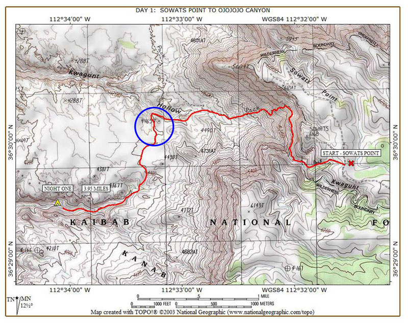
I hadn't been
to Sowats in quite a while, and based on the note, I thought I could
drive up there and do a short day hike to see if I might be able to find
the lost necklace. This time of year can be a good time to hike,
with clouds usually rolling in during the afternoon and dumping some
rain in northern Arizona. Alas, it was not to be for this
hike. It was sunny all day, and very hot. But, this hike is
short, the elevation change is moderate (from 6100 ft. on the rim to
4500 ft. on the Esplanade), and there are shady spots to duck out of the
sun.
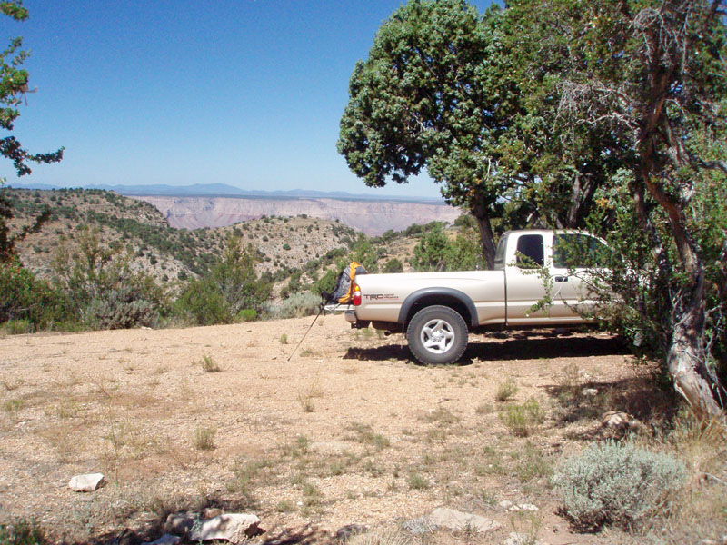
I left home at 6 a.m. and was parking at the
trail head at 10 a.m., having covered just a couple of miles short of
200, about 75 of which is over dirt roads. There wasn't anyone
else there, of course. Even with the possibility of clouds and
rain, it is so hot that few are willing to saddle up for a trip at this
time of year.
From the rim, the trail comes down a shallow
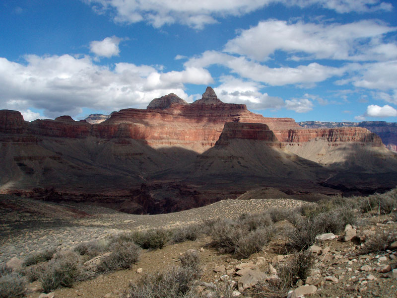
ravine to the top of the Coconino. Then, it contours north to a
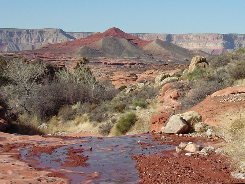
talus slope that takes it down to the Esplanade. It only took me
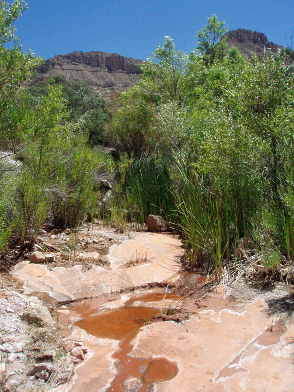
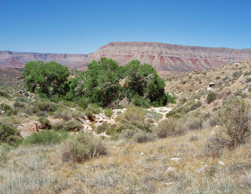
70 minutes to reach a clump of cottonwood trees in the main bed of
Kwagunt, which I could see from the upper part of the trail. I
cached a frozen bottle of water above the Coconino, for the hike out,
and another bottle here at these trees. I was surprised to find a
trickle of water in the bed. I didn't need it, but did use it to
wet my kerchief.
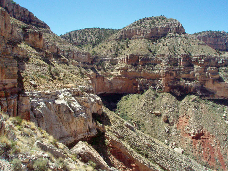
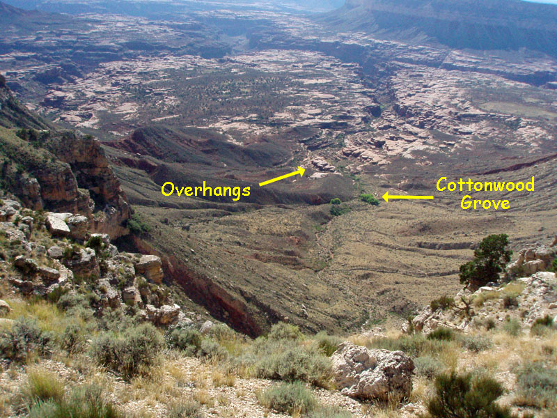
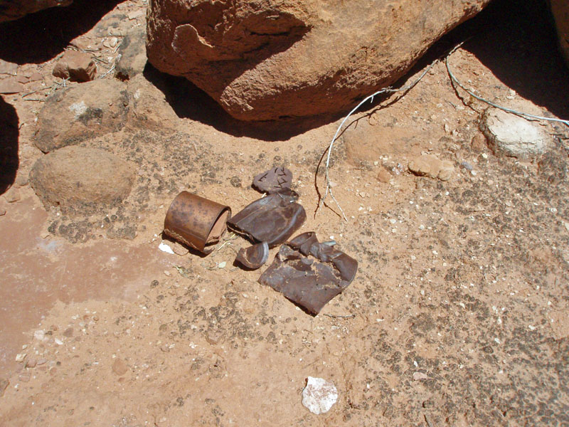
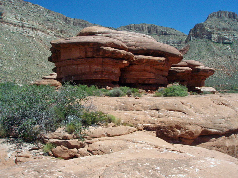
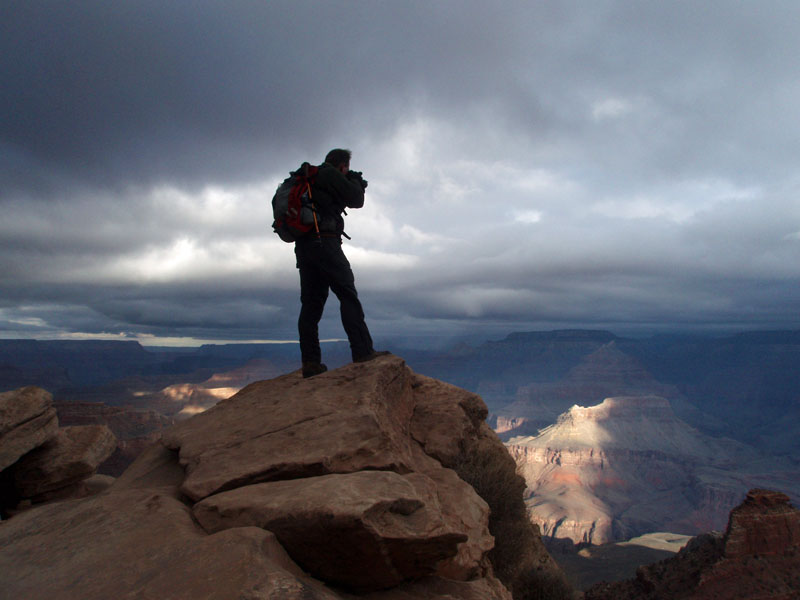
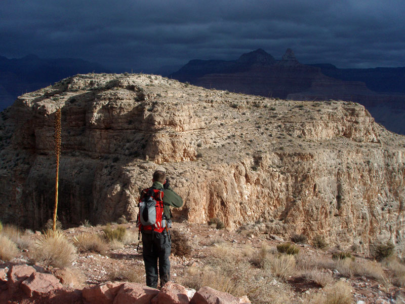
By noon I was scouting around the overhang that
matched the description in the Yahoo note. For an hour I poked
around. The overhang goes around a little sky island of Supai
rocks. I walked down toward the deeper cut into the Supai and on
top of this little island. I did find some old cans, which may
well be from the days of the cowboy camps that dotted this region.
Maybe. But, no necklace. I ate my lunch in the shade of the
overhang and it was quite pleasant. But, once back in the sun, it
was very hot.
By 2 p.m. I was on my way. I picked up my
water at the cottonwood trees. At 3:10 I reached my water cache
atop the Coconino. My trail notes read, "Hot! Hot! Hot! No
shade." The water cache spot was shady and I was feeling the
effects of the heat, so I stayed there for 45 minutes. A bit
before 4 p.m. I got back on the trail and reached my truck at 4:30 p.m.
On my way home, I made a stop out at Sowats
Point proper, which is less than a half mile from the trail head.
Then, I chose a return route along the dirt roads to go by the trail to Brow
Monument. This is a huge cairn set up by the Powell party in
1872 as part of their winter survey work on the Kaibab Plateau.
Many years ago my father and I hiked out to the "monument" and
I took a couple of pictures that didn't turn out. So, I keep
thinking that I have to do that again. But, it is two miles from
the road, so I will have to defer that to another trip. I got back
home at 9:40 p.m., so it was a long day hike!
|
