 |
|
|
Grandview
Trail Area Various Short Trip Reports by Dennis Foster |
|
|
|
|
|
|
|
Grandview
Trail Area Various Short Trip Reports by Dennis Foster |
|
|
|
|
| Writing up a full-fledged trip report for every hike I have done in the Grand Canyon would suffer from at least two problems. One, there are plenty of trips where not much happened. This was especially the case for day trips that I took mostly for the purpose of hiking down and back as fast as I could. Second, it would get repetitive. How many trip reports do you need to read on hiking to Plateau Point? Well, just one really. But, there are usually some interesting features to remark on for every hike, and some unique photos. So, I will endeavor to fill in this page (and, others) with these short stories and photos. They are arranged, from top to bottom, in chronological order and linked to the list below. | |
|
|
|
|
|
|
|
To
O'Neill Spring ... Again This past
April, I had made two trips to find O'Neill Spring (again) and see if
there was any water in its pool. There was none. Now, deep
into our monsoon season, I decided to make another check to see if this
spot might serve as a pothole source of water. But, despite a lot
of rain in the past month, this site was bone dry. So, if any
water does trickle in here, it must disappear into some deeper
space. So it goes. |
|
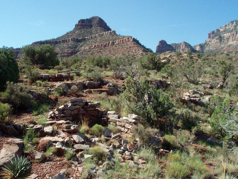
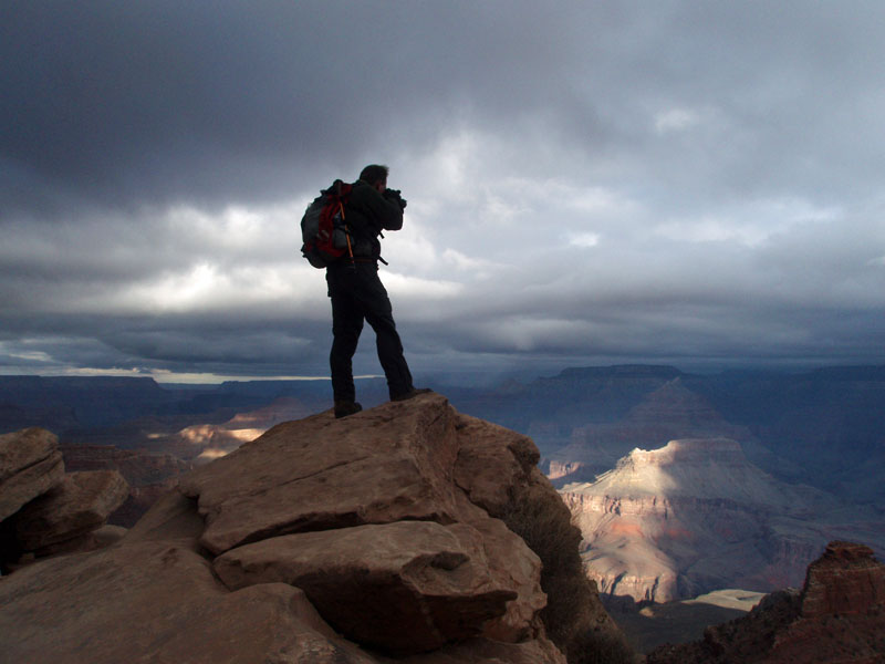
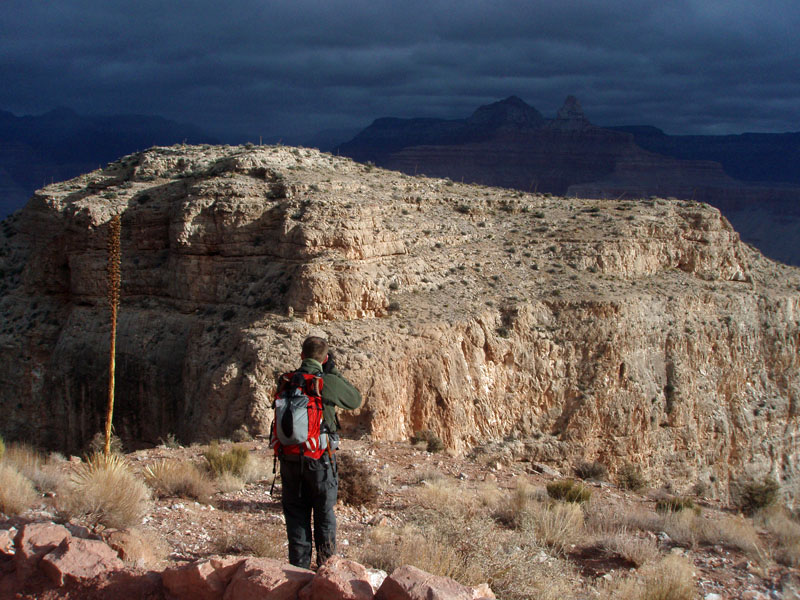
Day Hike to Ayer Point There was a time when Coronado Butte was called Ayer Peak. In George Wharton James' 1903 book, In and Around the Grand Canyon, appears this passage on page 88:
Since then, Mrs. Ayer (her husband ran the lumber mill in Flagstaff) has
been demoted to a view point atop the Redwall east of Hance Creek.
I had read of a route up to this point and on this day I was going to
try it out as part of a day hike. My recollection is that my
sister, Sue, met me at the trailhead in order to join me on part of the
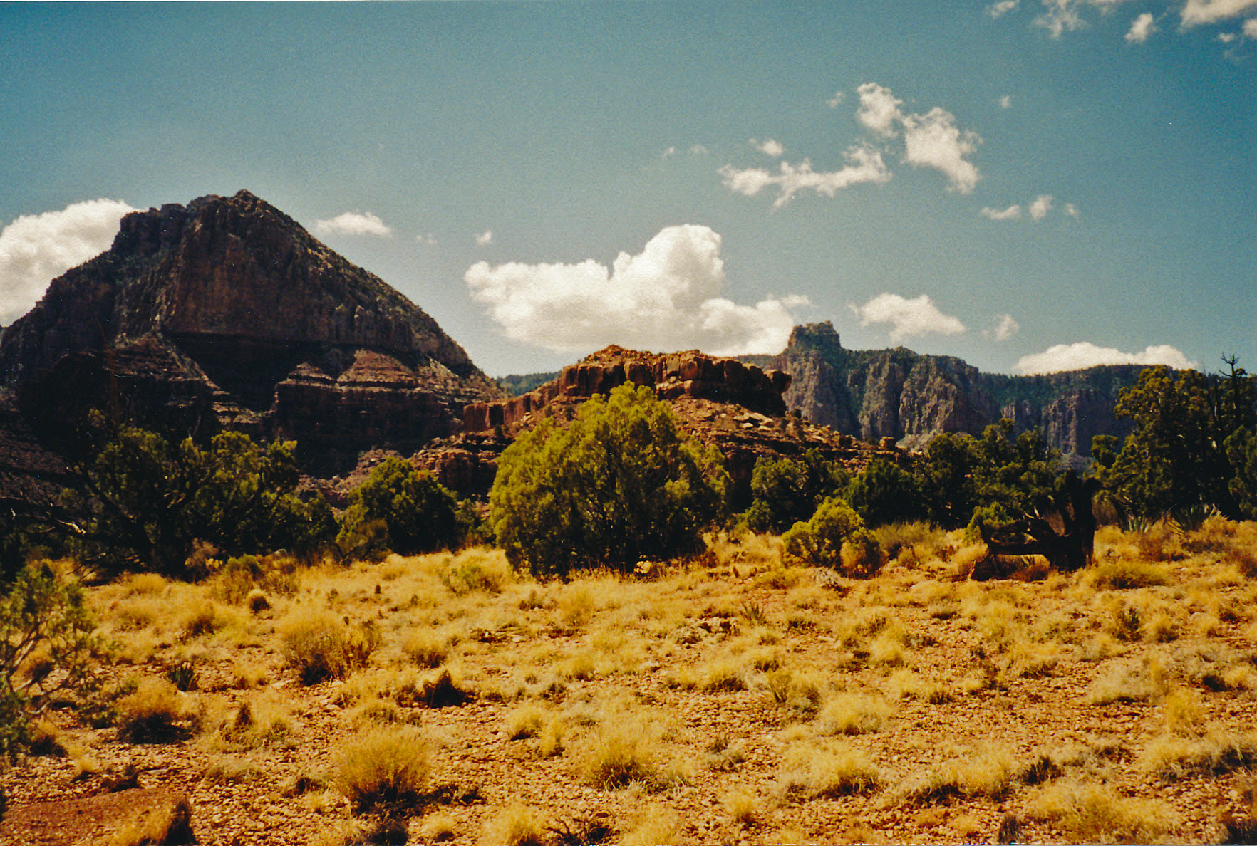
hike to Horseshoe Mesa. At 5:30 a.m. we were at the Grandview
trailhead and on our way. It was the first light of the day and
the skies were clear. We did not hike together as I needed to
cover many miles for this trip. |
||
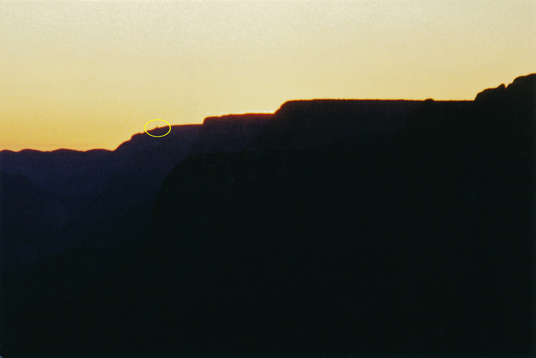 Sunrise view of the Watchtower. |
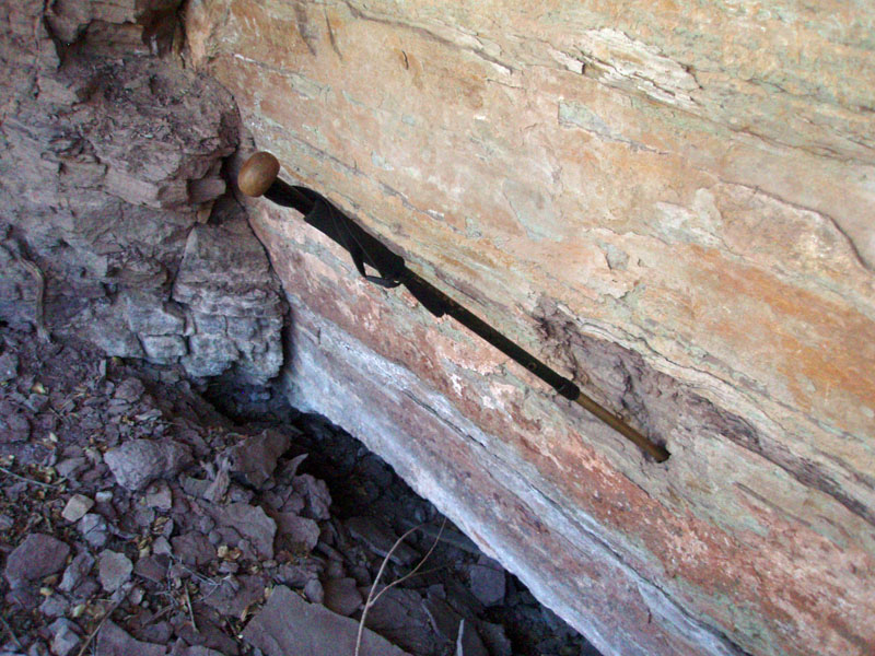
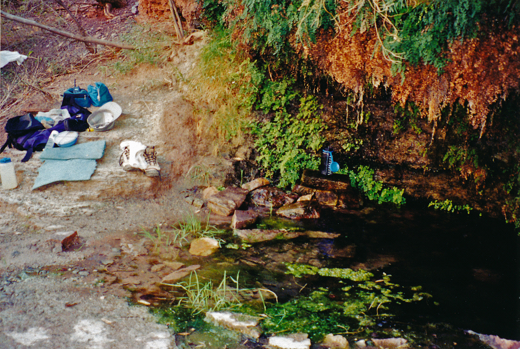 Collecting water at Page Spring. |
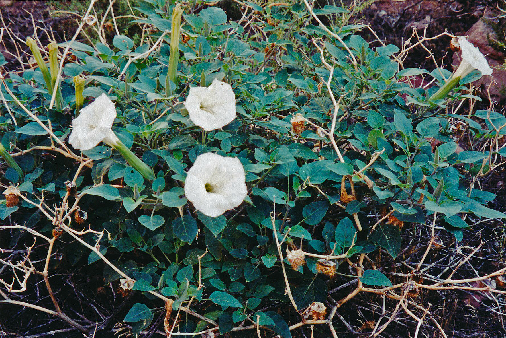 Blooming Datura. |
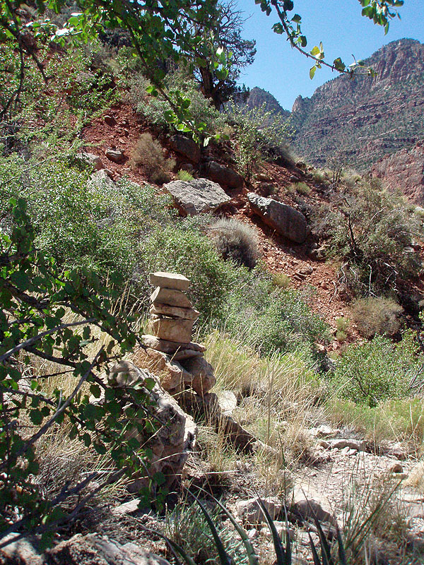
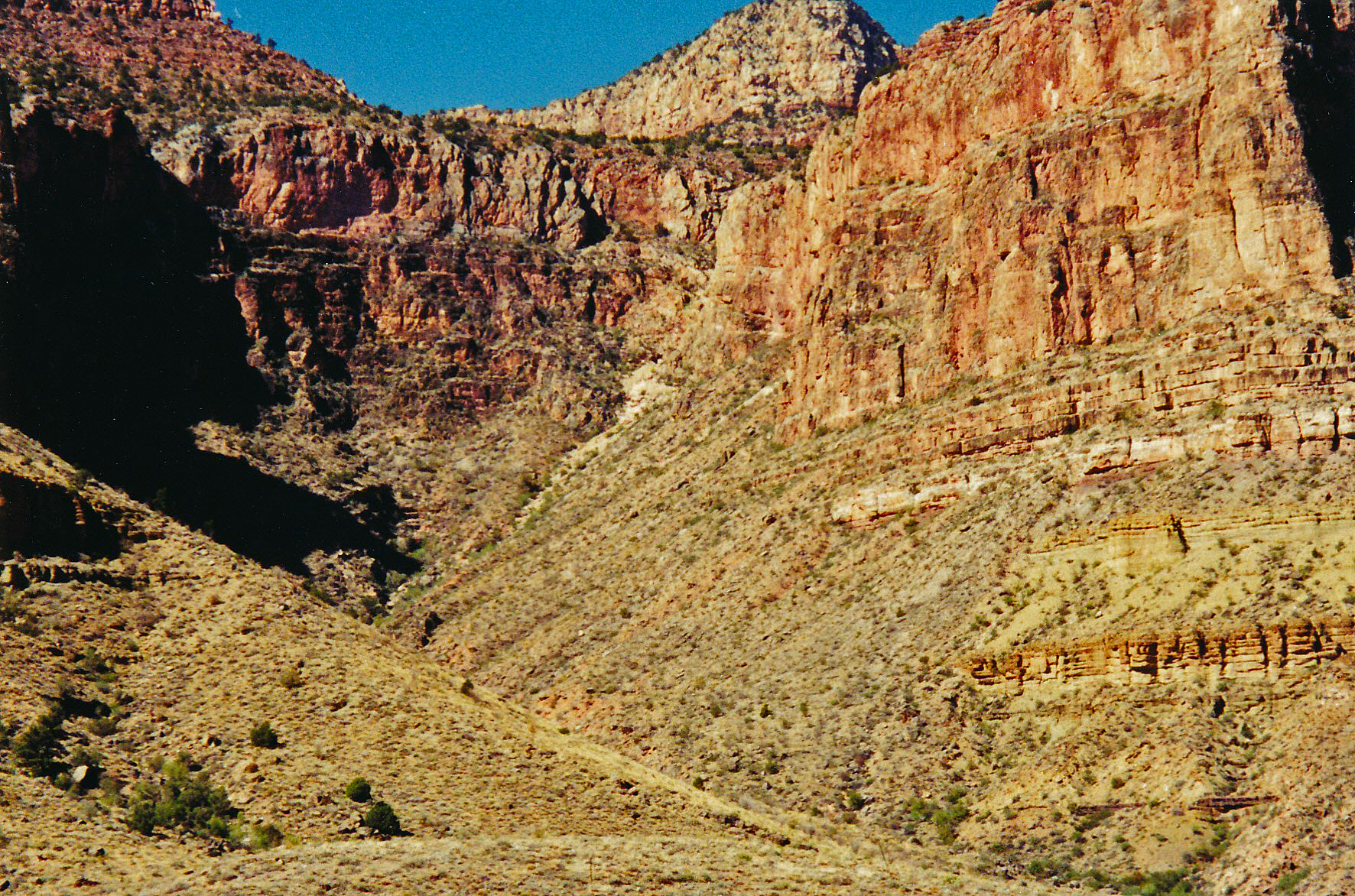 The descent from Horseshoe Mesa. |
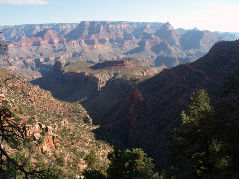
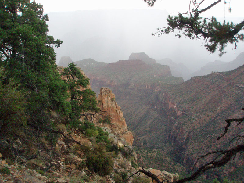
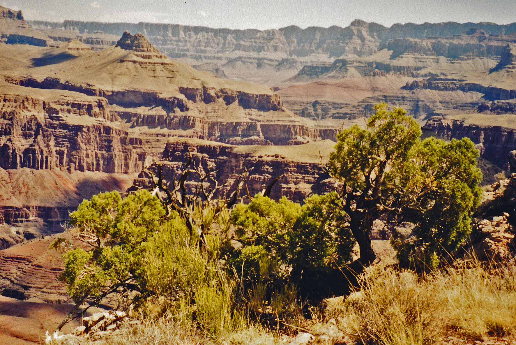 The view east from atop Ayer Pt. |
 The view west from atop Ayer Pt. |
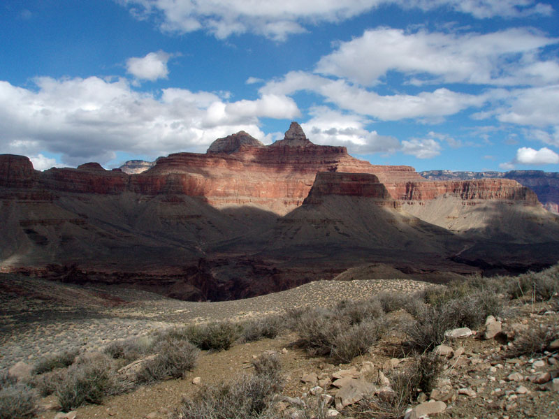
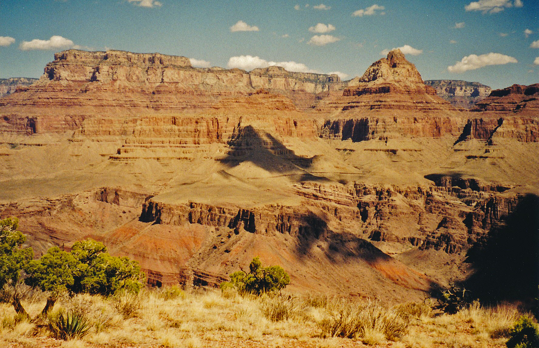 Wotan & Vishnu from atop Ayer Pt. |
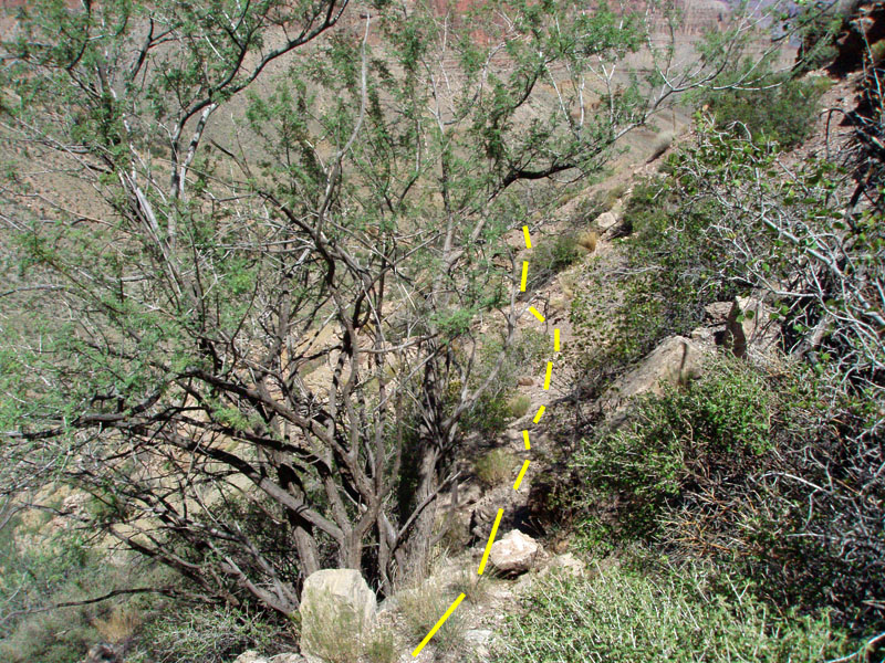
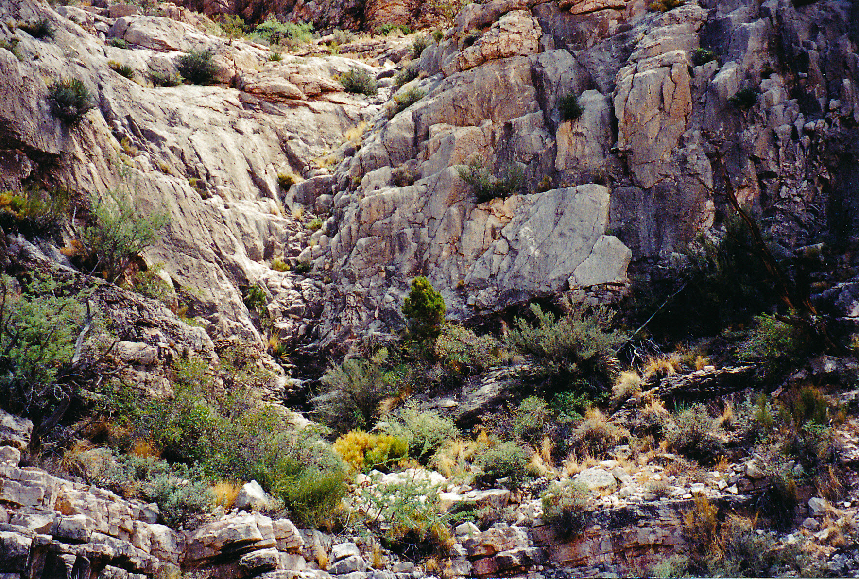 Redwall "steps" to Ayer Pt. |
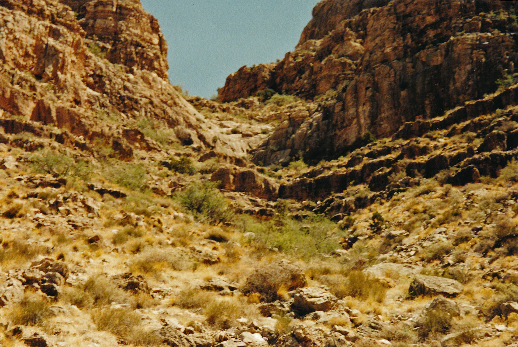 Redwall route to Ayer Pt. |
|
|
Return to Hiking Grand Canyon home page |