Lees Ferry to Cathedral Wash
At the head of Grand Canyon.

Thursday, January 31, 2013

by Dennis Foster


Walking a narrow ledge along
the river below Lees Ferry.


Click on any picture to see a larger image.

     In the late fall and early winter of 2012 I became interested in the possibility of hiking the Marble Canyon section of Grand Canyon, from Lees Ferry to Nankoweap.  Lees Ferry is where the river trips start as well as the measured river miles.  From here the river flows 277 miles through Grand Canyon.  So, I began to read up on access routes from the rim of Marble Canyon to the river.  I am interested in doing short loop hikes rather than one, long, continuous hike.  How far I get on this quest is uncertain, but this hike is the start of my effort.

     I had been down Cathedral Wash before, and have written about it.  The wash is only 2.7 miles down river from Lees Ferry, and even less from the parking lot that is furthest south.  [I guess I'm going to have to hike that small distance just to be thorough.]  It isn't a long hike, so quite suitable as a day trip from my home in Flagstaff, some 120 miles away.

     I left my home at 9:35 a.m., which was a couple of hours later than planned.  So it goes.  I had a lightweight day pack, but since I was carrying 3.5 liters of water, it rang in at 15 pounds.  That was way too much and I knew it at the outset.  I ended up with 2.2 liters still in the pack when I reached my truck at the end of the hike, so 4+ extra pounds of weight that I could have done without.  So it goes.

     I reached the parking lot, down below the campground area (the upper dot on the map to the right; click for a larger view), at 11:40 and was on my way just a few minutes later.  There was just one other person here, and they had arrived just a couple of minutes earlier (a fisherman).  This is a pretty deserted place in the winter, but the weather can be perfect for hiking, as it was on this day - sunny and with highs in the 50s.  I brought along a light jacket but never wore it.  I also brought along an ear band, which I only used when hiking up Cathedral Wash - it is constantly shaded and was quite a bit cooler.

     The previous week I had driven up here to check out the beginning of this route and followed a well-worn trail heading downstream.  At that time I stopped at the descent chute that leads to a beach and called it a day.  So, on this current hike, I knew where to start.  The trail stays above the river and on top of some cliffs as it heads to a bend in the river.  Then, there is the steep chute to climb down.  The footing isn't great, but it looks like it gets lots of casual traffic.


The closest parking spot to the trail!

The route descends this chute to the river level.  The trickiest part is at the top, getting past the large tilted slab.

The cliff route ends at this slab.

Well-worn trail atop cliffs at the start.

Looking back toward the descent.
     It took me about 25 minutes to hike along the cliff trail and drop back to the river, at a nice big beach area.  Besides the ducks, and a lone heron, I was alone for the rest of the day.  It only took a few minutes to reach the end of the beach area and begin my hike in earnest.  From here, there is just a very narrow river bank to follow, sometimes brushy but mostly made up of rocky ledges.  I could soon see all the way to Cathedral Wash, as there is a small rapid there and the canyon bends to the west, and out of sight, just past the wash.

     The ledges through here were much more challenging than I was expecting.  I had to get through a number of places with some careful attention.  I never thought I would fall and hit a rock, but I often felt like I might fall into the river.  The water was very clear and looked to be quite deep next to the bank.  It wouldn't be a terminal accident, but still one to be avoided at all costs.  Hiking through here with big heavy packs, like George Steck and friends did in 1982, must have been quite a chore.

     Later in the day, on my way back, I found a most interesting cairn on the rim, at what looked to be a break in the cliff.  A detached tower here caught my attention.  In looking over my photos from along the river, I am pretty sure that this tower is the prominent projection that appears in a few of my shots.  The picture, below, has the tower highlighted with the yellow arrow.


At the end of the beach, the bank narrows.  Arrow points to rocky tower?

Some parts of the route require climbing up on rocky ledges and
then back down to the river's edge,
often through the brush.

Looking back up the river past a narrow exposed spot.  Falling wasn't likely to hurt, but you'd certainly end up in the river!!

The way is clear but thin.
     At 1:30 p.m. I stopped for lunch just short of the only significant, though nameless, ravine on this side of the river (between the start of the hike and Cathedral Wash).  I was also right across the river from another shallow ravine that had a rather impressive pinnacle in the Kaibab layer.  From here on, this side of the river would be in shade and the temperature dropped a bit, but I still felt comfortable without a jacket.

     Crossing the nameless ravine after lunch was a bit of a pain and took the better part of fifteen minutes.  I could see that the water came up into the brush and that forced me back a bit and into a steep drop to the bed.  Although it was very sandy, there were lots of bushes growing up here and it was a chore fighting my way back out the other side - each step would kick more sand down the already steep side until I could grab enough small branches to help pull myself up onto a more stable part of the slope.

     The fight through this nameless ravine was more than offset by a widening river bank, and the emergence of a more discernable trail at the base of the cliffs.  This allowed me to avoid the bushes clogging the river from here to Cathedral Wash.  My pace accelerated and I was at Cathedral Wash just fifteen minutes later, at 2:30 p.m.


Rocks spill out from a mini-ravine.

Eventually, a crude trail appeared at the base of the Kaibab limestone which kept me from fighting the bushes at the water's edge.

I lunched at a nice spot across from a shallow ravine with a cool detached pinnacle in the Kaibab.  It looked possible to climb to the rim there.

A few ravines required care.
The largest ravine to cross was very brushy with a steep entrance and exit.  Small rocks create sand columns. The route was easy to follow along this talus slope the rest of the way.
The rapids at Cathedral Wash.  Looking down below Cathedral. I head up the wash from the river.
     I really wanted to continue down river to check out a nasty bypass that is at about mile 3.7.  But, with my late start, and a very strong desire to get back to my truck before dark, I wasn't able to do much in this regard.  I did work my way through the downstream side of Cathedral, but I thought I would need another hour to reach the next bend, check out the bypass, and return to the wash for my exit.  So, at 3:00 p.m. I started my way up Cathedral Wash.

     Since I had been here before, I was not concerned about getting through the few bypasses along the way.  It is a neat short hike to the road.  And, given how cold it was on this hike, I couldn't help but wonder if this might be a nice trek in the summer, perhaps early in the morning before the surrounding terrain heats up.  I encountered a few small pools on the way up, and parts of the bed were muddy, but not enough to make the hiking difficult.  At one muddy pool (below), I thought I could stay on the mud and hop into a fluted passage in the rock to get by.  But, my foot sank down to my ankle and I had to back up and cross on the ledge above the pool.  In the photo below, you can see my footprint in the mud!  I got up past the last, and most significant, obstacle just 35 minutes after starting up the wash.  I was back in the sun and that felt better.  The rim was still maybe 30 feet above me, but too steep to climb out yet.


The narrows near the river.

Some impressive narrows here
wind you up through the canyon without there being too many obstacles to pass.

One of the little pools I passed on the way up.  In the summer, this hike might not be too bad.  But, not during monsoon season!

Muddy pool with my footprint.

A chockstone blocks the way at
one obstacle.  There were small cairns marking bypasses, but without exception, they were obvious routes.

Nearer to the top it's a muddy walk.

After the last obstacle I was back in the sun and feeling warmer.  The inner depths were quite chilly on this fine January day and the sun was
a relief!

The final obstacle.  Bypass is out
of view to the left.
     By 3:50 p.m. I reached a junction in the bed.  The left bed leads to the parking along the road, which is marked by a sign.  Since I was heading back to my truck, parked below Lees Ferry, I decided to just try and cut cross country.  So I took the right bed and was soon on top of the plateau here (technically, I think it is the "Marble Platform").  I thought that this route would be shorter than walking along the road.  After the fact, I can't say that was the case, given my meanderings around various small ravines.  But, I also figured it would be neat to cross this expanse when during the summer it would be unbearable if not terminal.

     I had noticed that the top cliffs were broken up above the trail that I started out on at the beginning of the hike.  I also noticed that this was true until one was opposite the dominant point from the other side of the river.  So, I headed in that general direction, thinking I could more easily get back to where I started.  But, I ended up following this direction too soon and had to backtrack around a few ravines.  Still, I came across at least five sets of footprints, at different spots, heading back from the rim toward the highway on my trek.

     And, I came across some interesting items during the hour and twenty minutes it took me to reach the trail I was heading for.  I saw a survey marker (shown below), and tire tracks out to each of the poles that march through here (telephone? or power?).  I also found an old glass bottle, undamaged, and an old Coors can.  The side that was face down hadn't yet fully faded away.

     On one of my forays to the rim, I found a cairn.  It was reasonably large - maybe three feet tall.  I felt sure that it marked a route through these cliffs.  If so, it would put me in the perfect spot to get back to the trail.  But, I couldn't see all the way down this cliff and felt that 30 minutes spent checking it out might just put me a little too far behind my schedule for getting out before dark.  In retrospect, once I could look back on this spot from further up river, it looks like this would have been pretty easy and straightforward.  Well, next time.  The route looks to be just to the right of a little tower in the cliff that is detached from the rim.  Is this tower visible from the river?  Maybe, as noted in the earlier photo, above.


Hill marks major junction.

A section marker caught my eye.

Along the way I spotted this old
bottle.  It was not broken nor chipped but looked old.  Raised letters read, "7 FL. OZ." and "No Deposit."

Looking toward Lees Ferry.  Barely
visible is the water tower (close-up).
 
Here is what it marks.

I kept trending toward the rim, thinking I could find the slope heading down to the Kaibab layer and follow it back to the trail.  By chance I spotted this cairn, which probably marks a break.

I also found this old Coors can.  Note
it was opened the old fashioned way.

A slight detached tower marked this spot.  Visible from the river?
 
The cairn is to the right of the tower.

Almost back to the trail.
     I reached the trail at 5:20 p.m. and ten minutes later was at my truck.  At 5:50 p.m. I was ready to head home, just as the sun was setting on the cliffs above Lees Ferry.  I had to make a quick stop for gas at Marble Canyon, which was also mostly deserted, and reached home at 8 p.m.  My pack weighed 12 pounds at the end of the hike, and I still had plenty of water, as noted earlier.  Except for my lunch break and the time spent downstream from Cathedral, my hiking times were as follows:  Parking lot to Cathedral Wash: 2 hours 15 minutes; up Cathedral Wash to top of plateau:  55 minutes; across plateau and back to the parking lot: 1 hour 35 minutes.

Appendix - Marble Canyon:  Beauty to bank on
Arizona Daily Sun
Tuesday, February 19, 2013

The vast panorama of Grand Canyon has its humble, but still awe-inspiring, beginnings in Marble Canyon, at the historic crossing of Lees Ferry. While often overlooked as a hiking destination, it has much to offer. Summertime temperatures can be terminal, but hiking here in the winter can be nothing short of fantastic. And that was true on this, the last day in January, with blue skies and temperatures in the 50s.

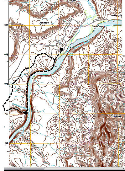
My plan was to park about a mile below Lees Ferry and follow alongside the river to an exit out at Cathedral Wash. Then I would hoof it back across the plateau to my vehicle. Altogether, I figured I would cover about five miles. Given that it takes at least four hours to drive up here and back from Flagstaff, that makes it a pretty full day.

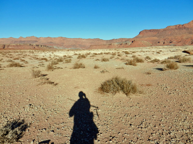
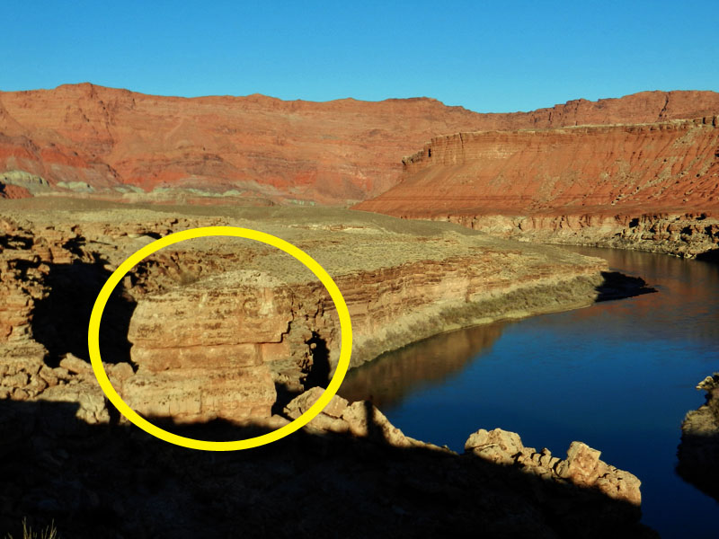
I saw only one person all day, fishing along the river. I started out on a well-worn trail that follows along the emerging cliffs of Kaibab limestone.

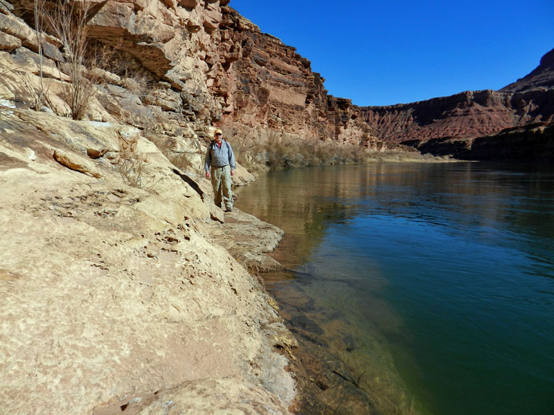
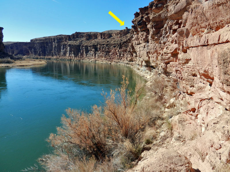
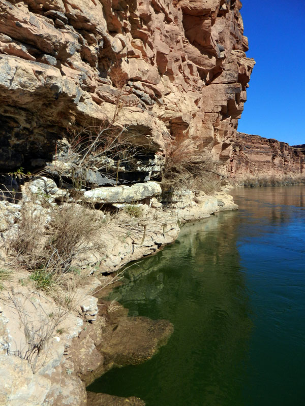
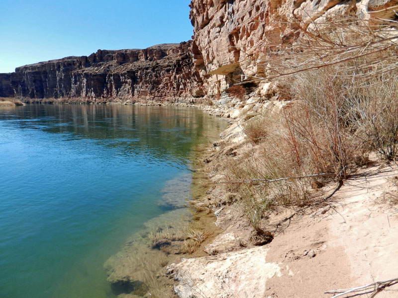
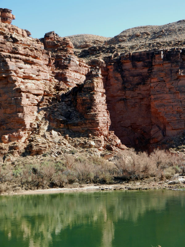
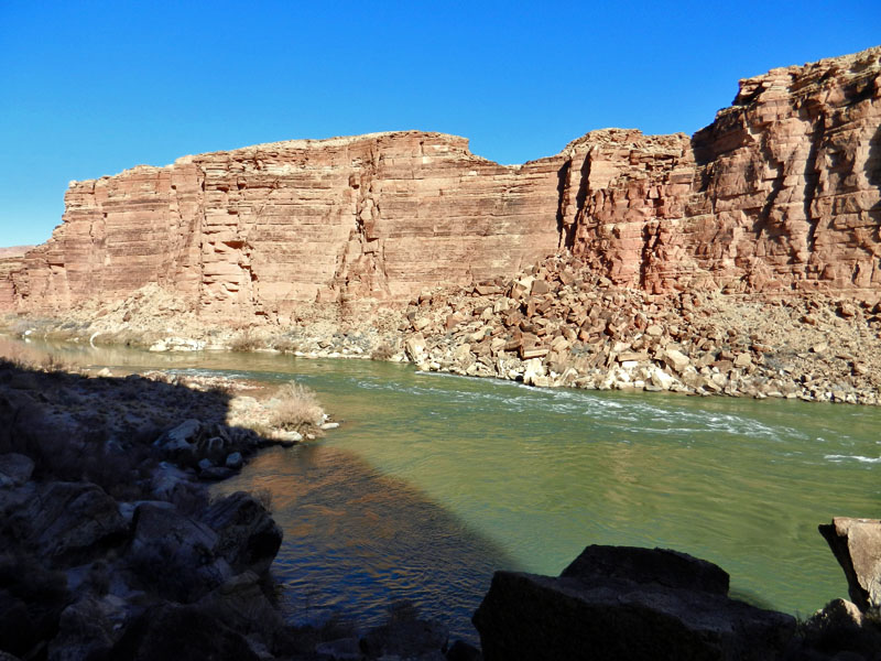
This trail goes around a bend in the river and abruptly ends at a rocky ravine. Here you must climb down to a small beach. Ahead of me, I was treated to a view of the river, a deep emerald green, flanked by sheer cliffs of the Kaibab and capped by a deep blue sky.

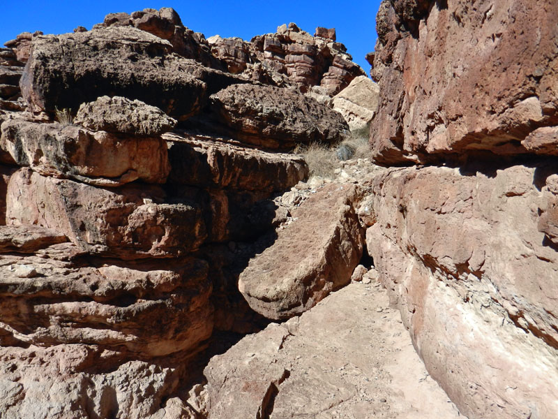
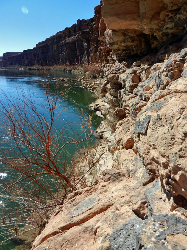
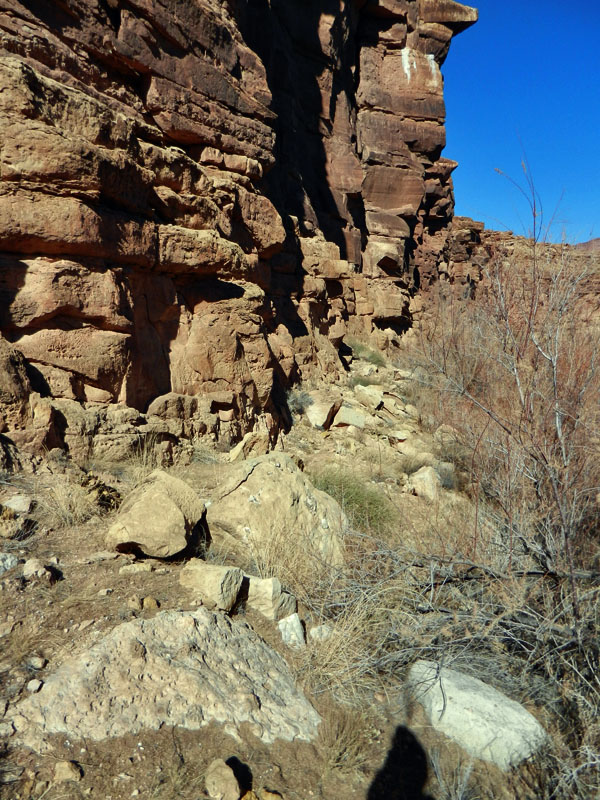
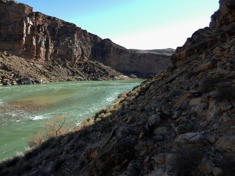
For the next half-mile the route follows narrow ledges at the river's edge. An occasional bush will present a challenge, as will sloping rock surfaces. I mostly feared that I would take a tumble into the river, which I really didn't want to happen!

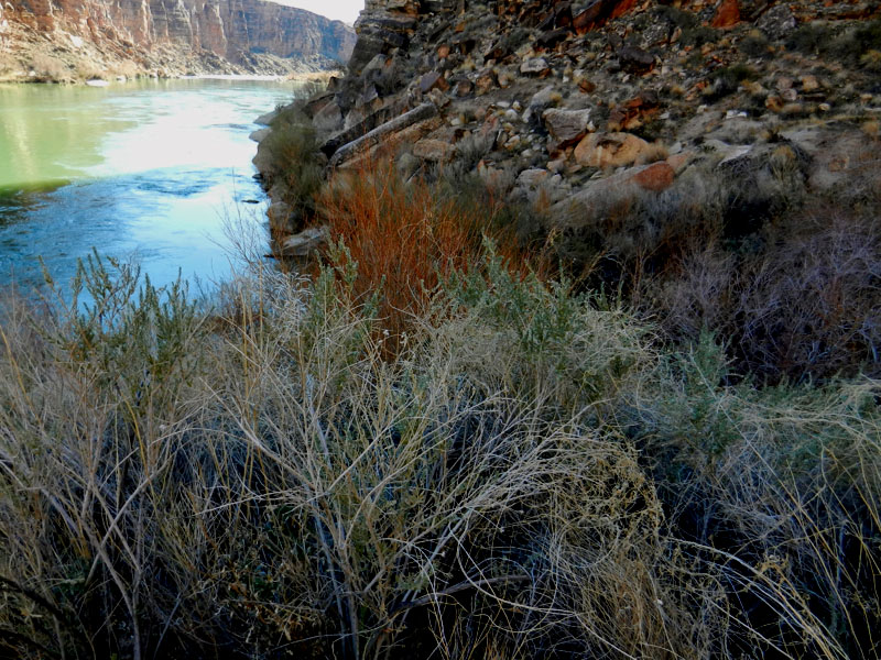
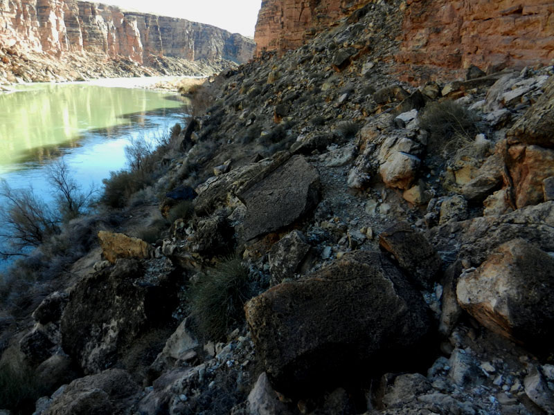
The ledges gave way to a small talus slope and the bushes returned with a vengeance. Walking directly alongside the water was no longer possible. Long pants, a long-sleeved shirt and gloves are highly recommended if you want to survive this section unscathed.

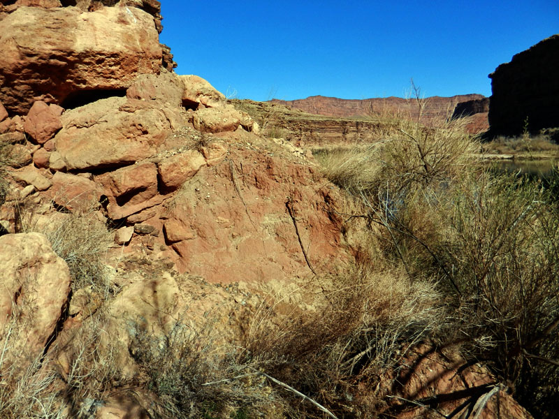
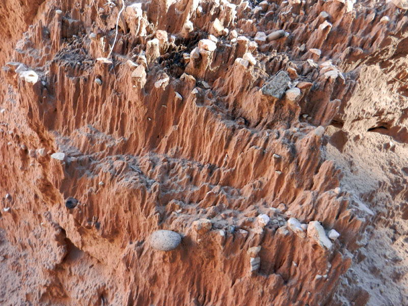
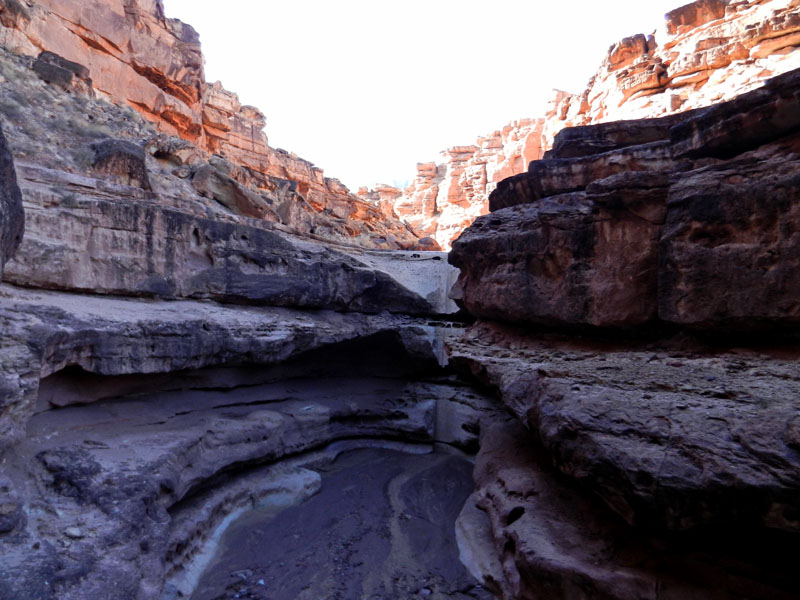
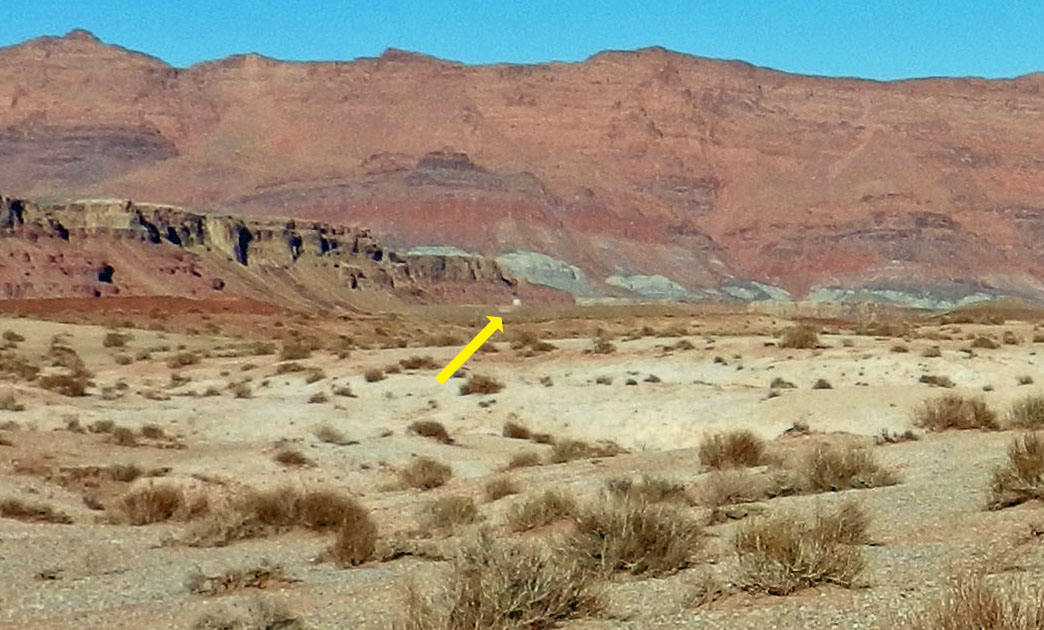
About two-thirds of the way to Cathedral Wash, a drainage presents some problems. I had to divert into this drainage and down a steep slope to its bed. From there it was 10 to 12 feet up a brush-covered sandy slope, which would give way with every step I took. All told, it took me 15 minutes just to cross this little unnamed ravine.

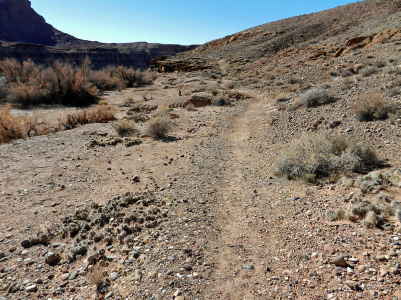
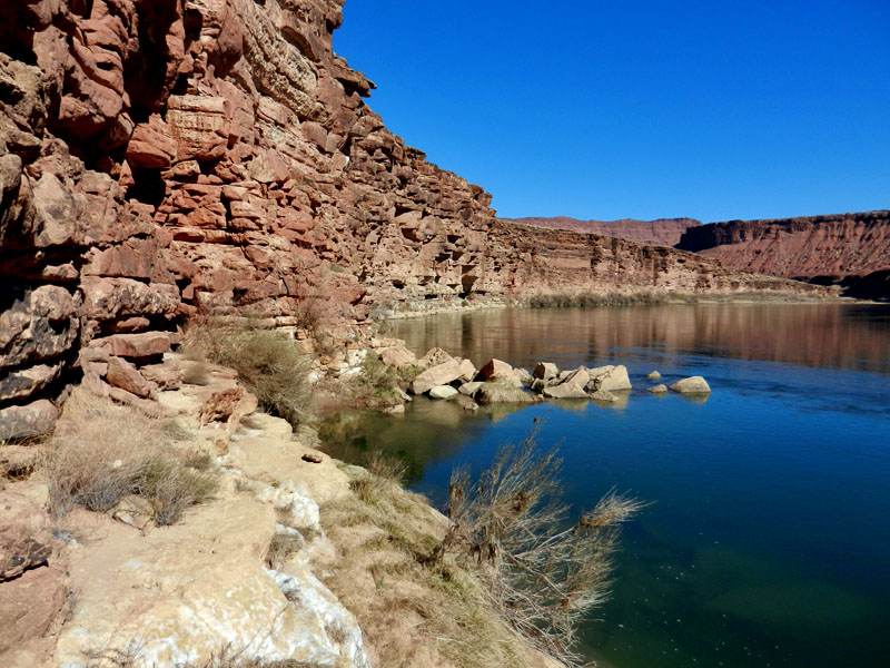
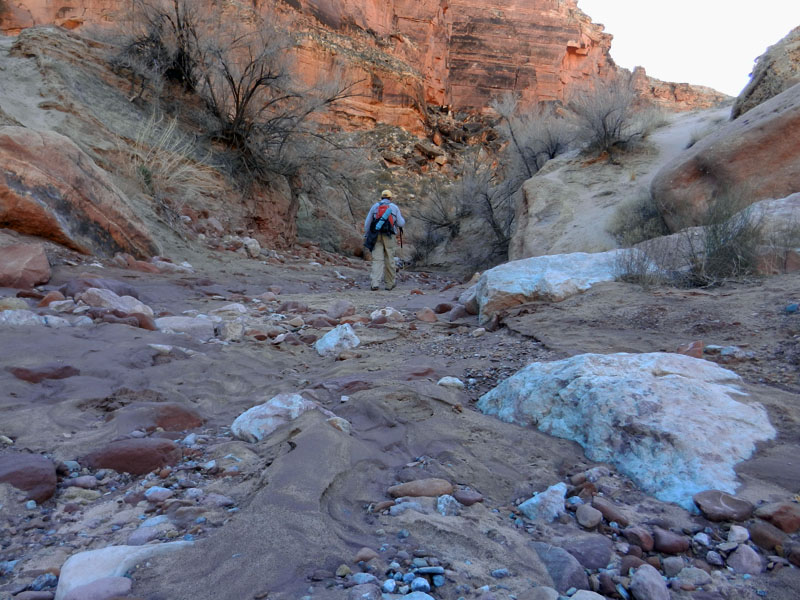
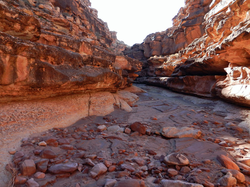
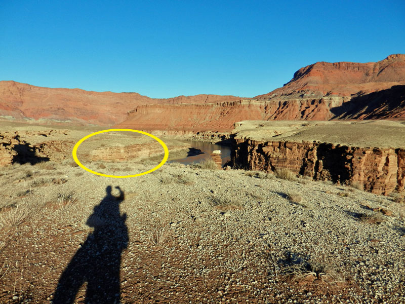
The effort through this drainage was rewarded with a wider talus slope and the emergence of a definite track to follow the rest of the way to Cathedral Wash. Except for a lunch break, it took me about two hours to get here, covering less than two river miles. That is typical. So difficult are parts of Marble Canyon that the first person to have completed hiking its entire length, some 52 river miles, was Ron Mitchell in the 1970s.

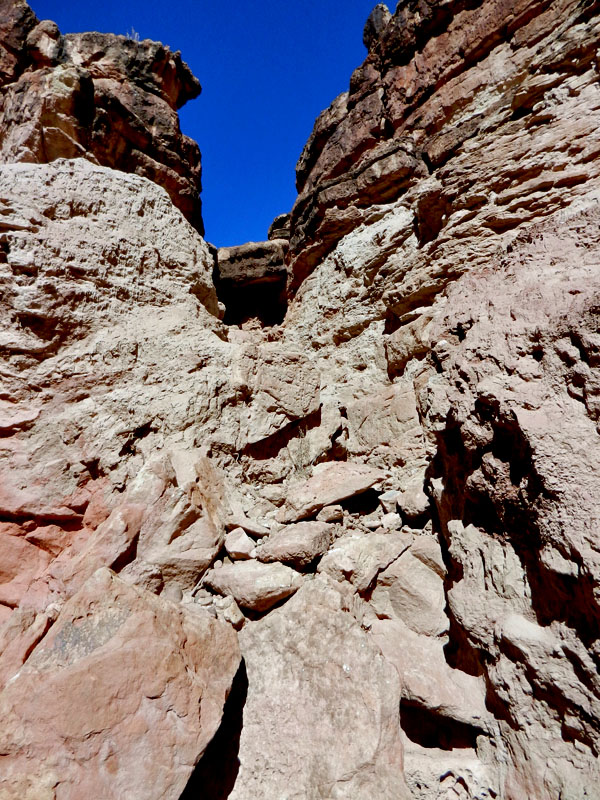
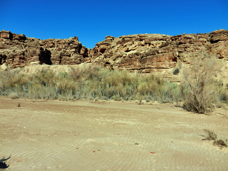
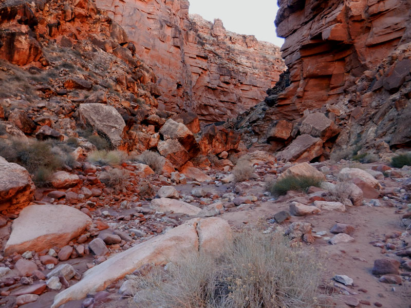
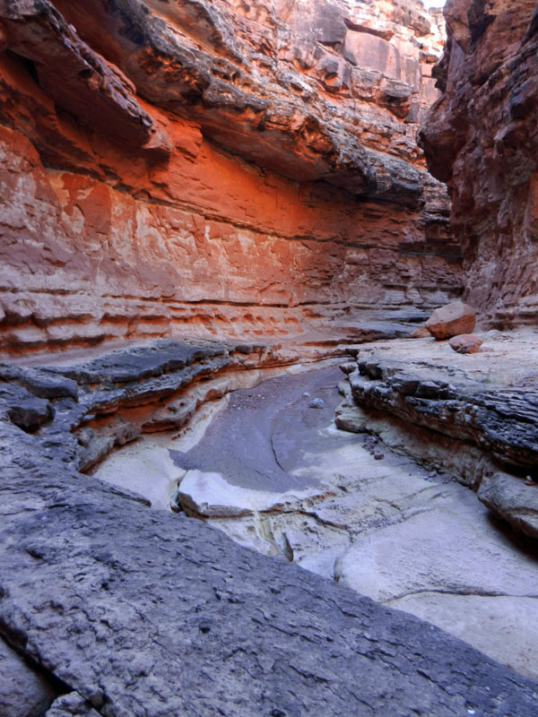
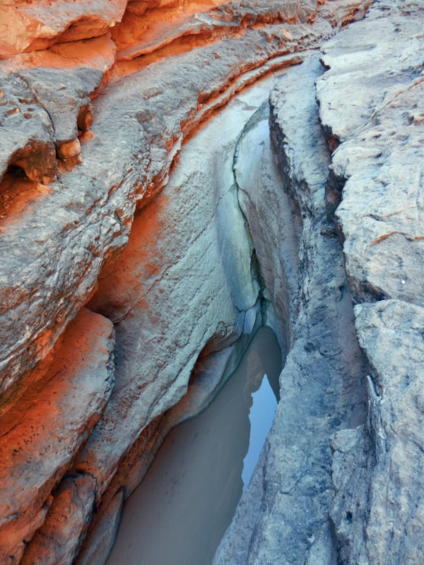
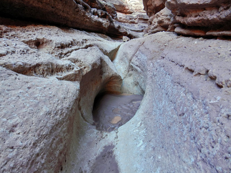
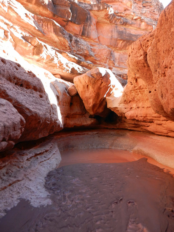
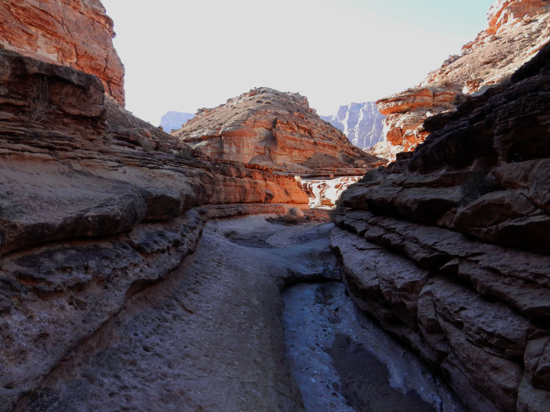
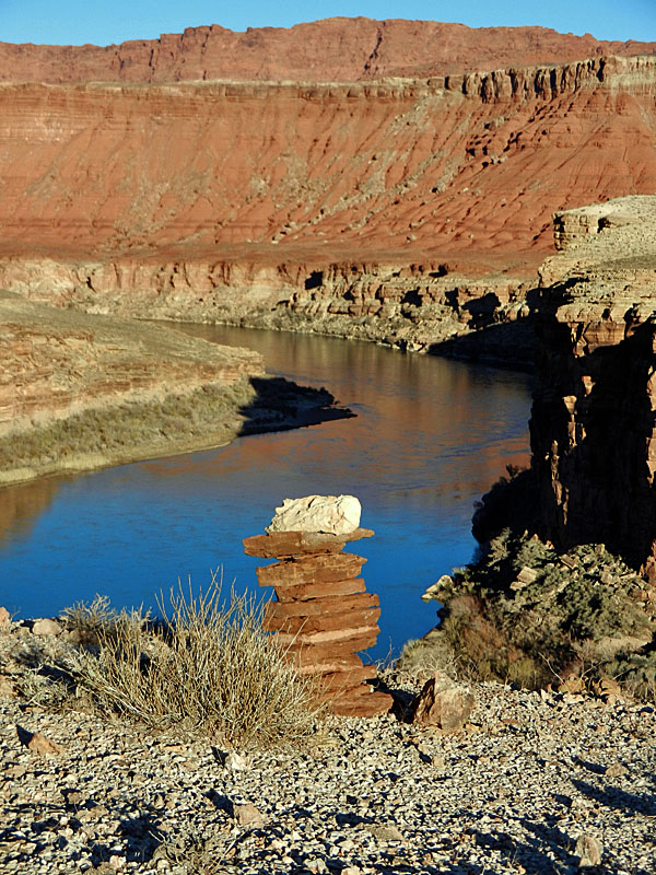
Cathedral Wash gets more visitor traffic as there is a pull-off along the road to alert you to this trailhead. It takes about an hour to follow this meandering canyon that begins only 10 to 15 feet deep at the road and ends up nearer to 250 feet deep at the river. The twisting narrows have some obstacles that need to be passed, and I found small cairns marking the routes around them.

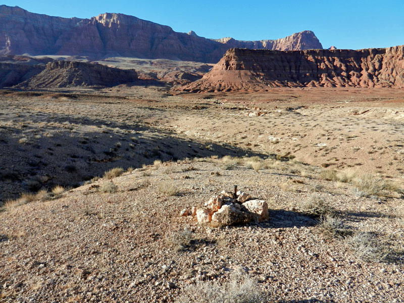
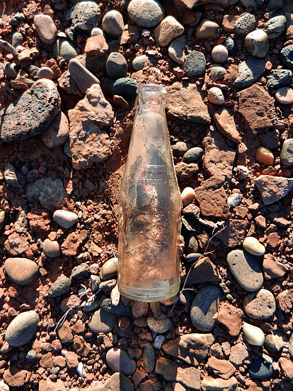
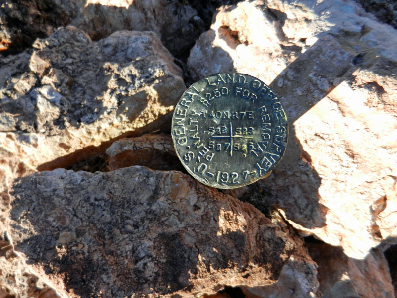
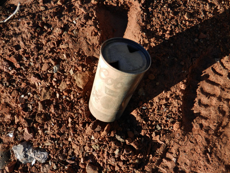
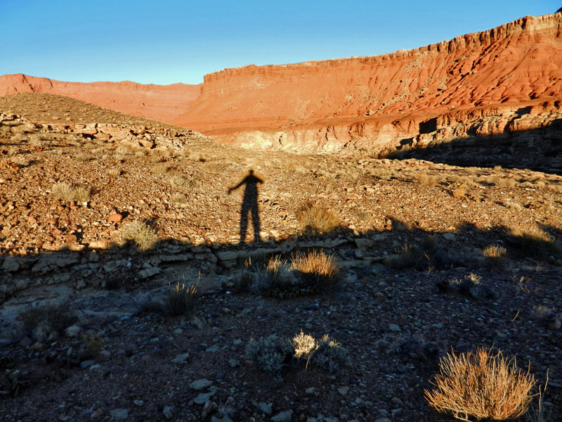
As I neared the road, I took a side canyon out to my right. Once on the plateau, I picked a route that I thought would lead me back to the trail near my truck. Although I had to backtrack around some ravines lined with small cliffs, I found the walking quite pleasant. Along the way I found a survey marker showing a section corner and dated 1927. I also found an old beer can that pre-dated the era of pull-tabs. It took me about an hour and a half to find my way back to the trail. I was back to my truck 10 minutes later, as the setting sun lit up the Vermilion cliffs above Lees Ferry.

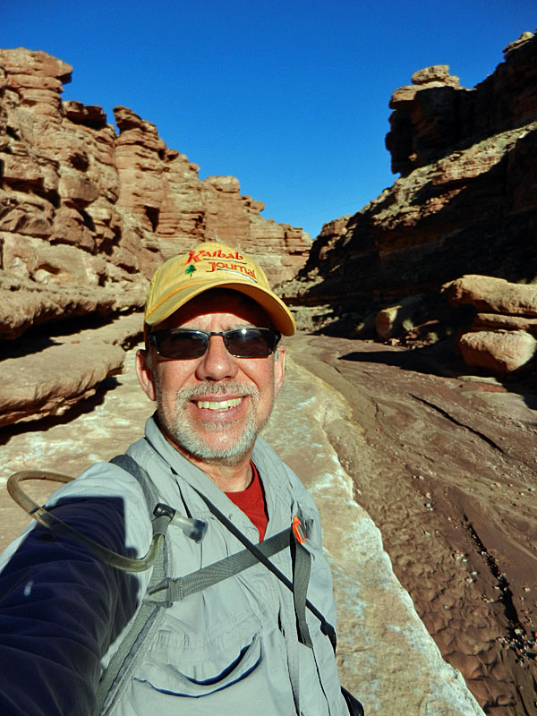
Dennis Foster lives in Flagstaff and has been an avid hiker in Grand Canyon since 1977.

If you go

Marble Canyon Hike

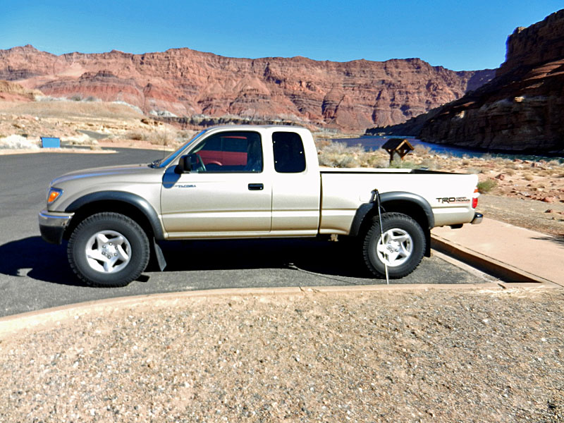
Take U.S. 89 east out of Flagstaff 105 miles to Bitter Springs. Turn left on U.S. 89A; it is 15 miles to Marble Canyon. You can stop at Navajo Bridge and walk across the old bridge. The interpretive center is on the west side, and open from mid-April to mid-October. Just beyond the bridge turn right for Lees Ferry, which is five miles down the road. This is a fee area and managed as part of the Glen Canyon National Recreation Area. The Cathedral Wash pull-off is 1.3 miles down this road and it is another 3.2 miles to the first parking area at Lees Ferry. Marble Canyon, which has a lodge, gas station and convenience store, is on U.S. 89A just past the Lees Ferry road.

For More Information:

There are a number of hiking guides that include Marble Canyon itineraries. One good choice is "Day Hikes from the River," by Tom Martin, now in its fourth edition.

There are many books written about Lees Ferry, none more comprehensive than P.T. Reilly's "Lees Ferry: From Mormon Crossing to National Park."

Return to Hiking Grand Canyon home page

dfoster@kaibabjournal.com