|
|
|
Tse'an Bida A Day Hike Down the Old Hance Trail Saturday, April 20, 1996 by Dennis Foster |
|
|
|
|
|
|
|
Tse'an Bida A Day Hike Down the Old Hance Trail Saturday, April 20, 1996 by Dennis Foster |
|
|
|
|
|
After my introduction to Grand Canyon hiking, I started pursuing treks
that would take me to some of the more interesting places in the
canyon. At least to me! I have been especially interested in
seeing ancient ruins and rock art sites (and even those that
aren't so ancient). And, caves. Not that I am big on
spelunking. But there are some intriguing caves that can be
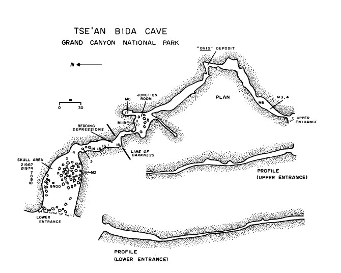
reached without hardware. One such cave is called "Tse'an
Bida." Apparently the name just means "cave in
cliff" and was given to it by researchers in the 1950s to disguise
its location. So, calling it "Tse'an Bida Cave" would be
repetitive. And, not strictly correct, as this is actually a
tunnel through the Redwall. Yeah, I'm intrigued! [For more
information on this cave, see Jim
Mead's Ph.D. thesis from 1983. His thesis also includes
information on Tse'an Kaetan, a cave in Cremation Canyon where split
twig figurines have been found. I have looked unsuccessfully for
that cave before, but apparently there is some steep climbing necessary
to reach its entrance.] In late April of 1996 I got my hiking buddy John Eastwood and one of my students, Mathieu Brown, to accompany me on a quest to find Tse'an Bida. We used the trail journals I have from Harvey Butchart to guide us. Back then, these notes were only available with his permission, which I got. I have the one thousand photocopied pages in my collection, although now (2012) you can find his trail logs transcribed on-line. |
|
|
||
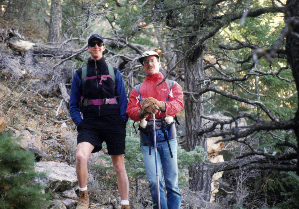 Mathieu & John at trailhead. |
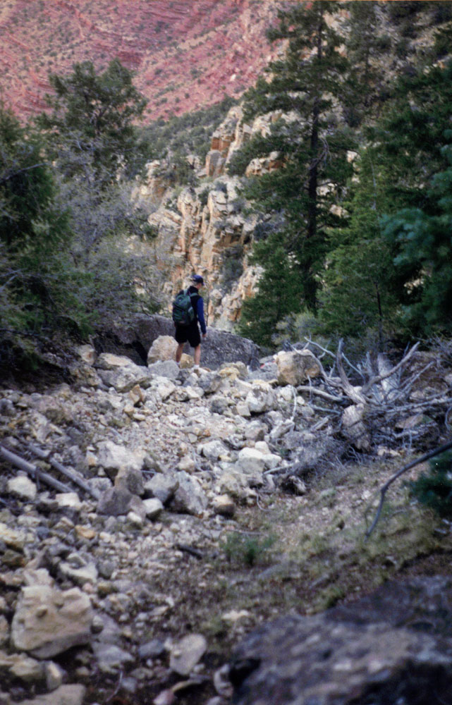
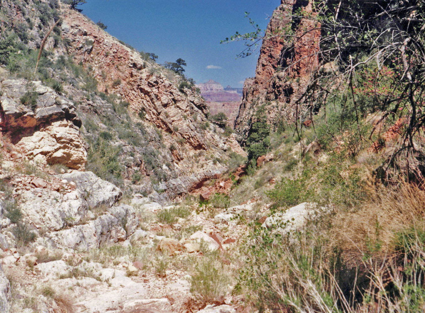 As the Redwall narrows. |
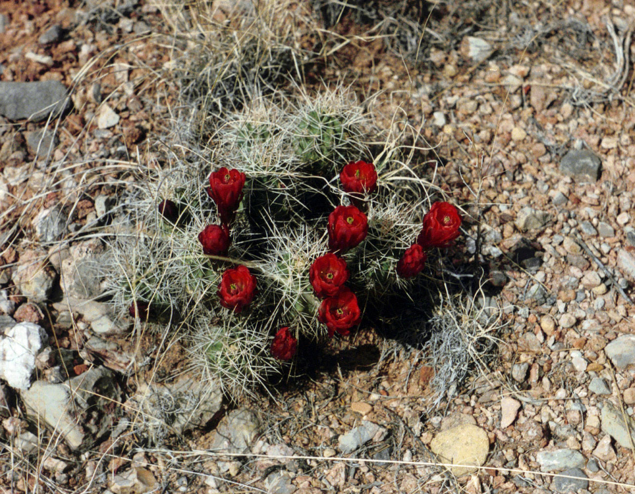 Blooming cactus. |
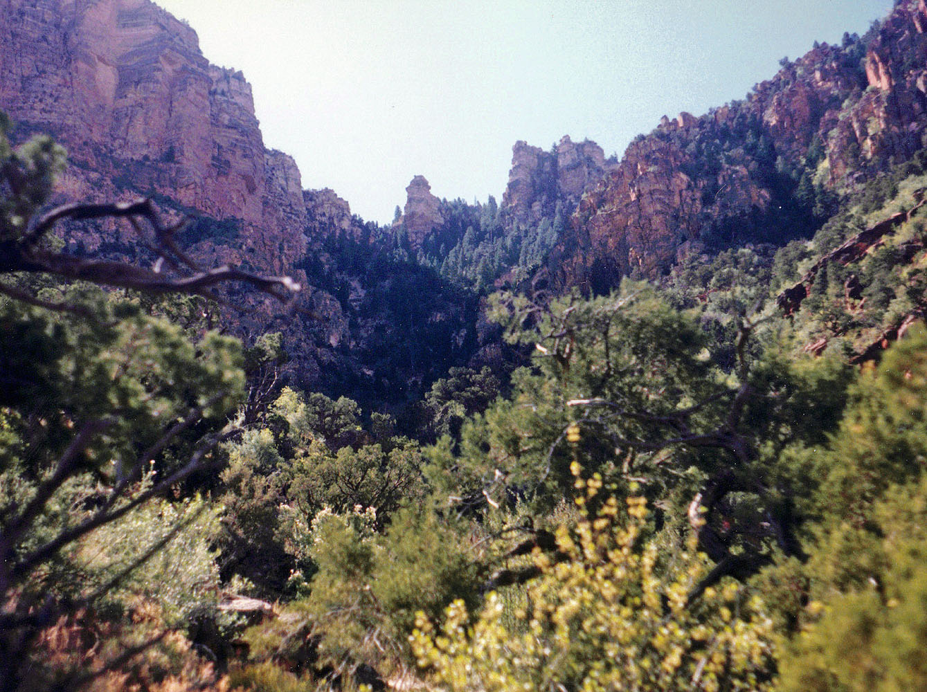
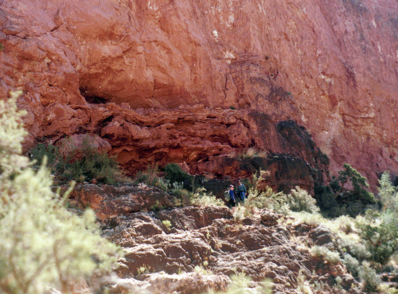
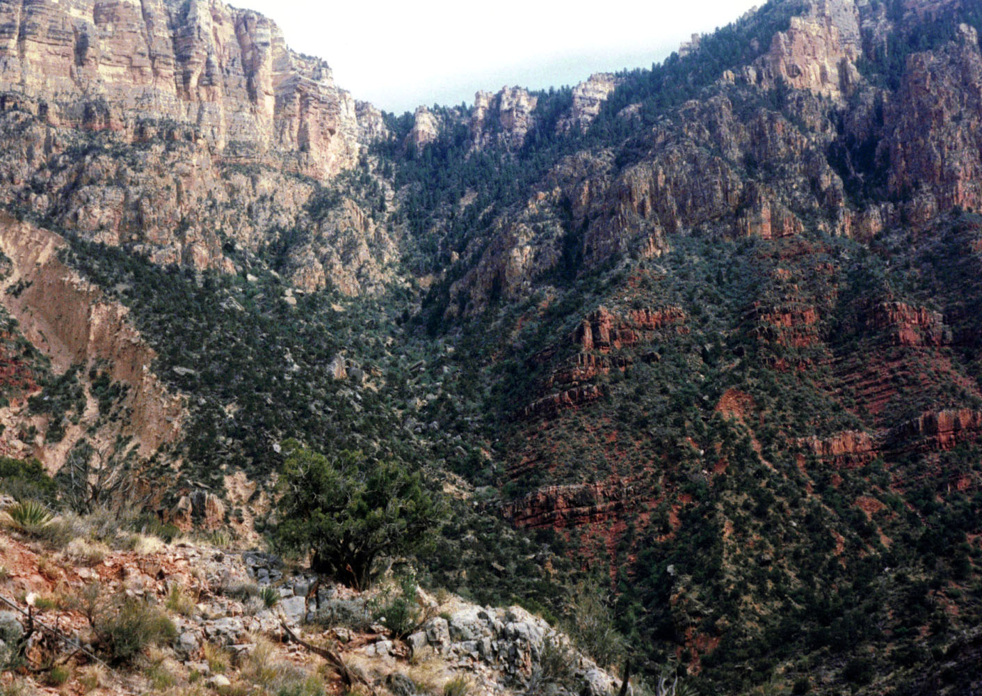
| The skies were clear, but the temperature was on the cool side. This cave is in the Redwall formation in Hance Creek, not too far from where Hance had a cabin back in the days when he was mining and guiding tourists into the canyon. The trail that leads down into this canyon is called the "Old Hance" because it washed out in the 90s. The 1890s! Hance rebuilt his trail further east (what people either call the "New Hance" or the "Red Canyon" trail) which is in great shape these days and easily takes one all the way to the river. In fact, that is where Hance crossed over to the north side to work his asbestos mines. The naming of features here is more than a bit confusing, but hopefully this helps - the Old Hance trail goes down Hance Canyon, which, with difficultly, leads to the river at the head of Sockdolager Rapids; the New Hance trail goes down Red Canyon all the way to the river, at the head of Hance Rapids where Hance would cross over. Clear? |
|
|
||
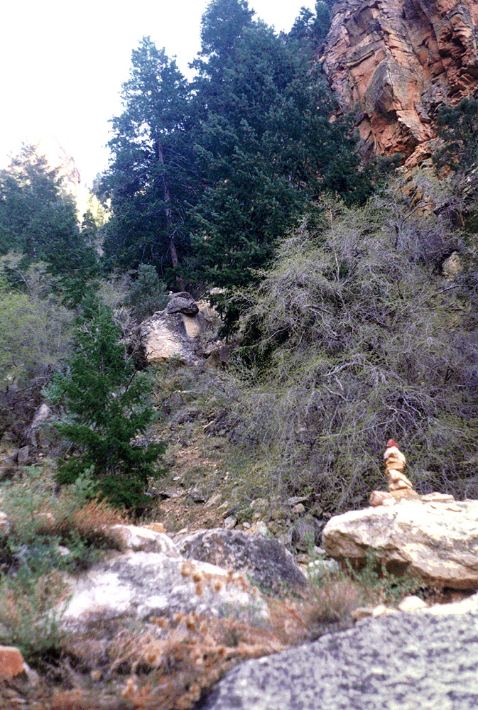
 Mathieu in the Kaibab layer. |
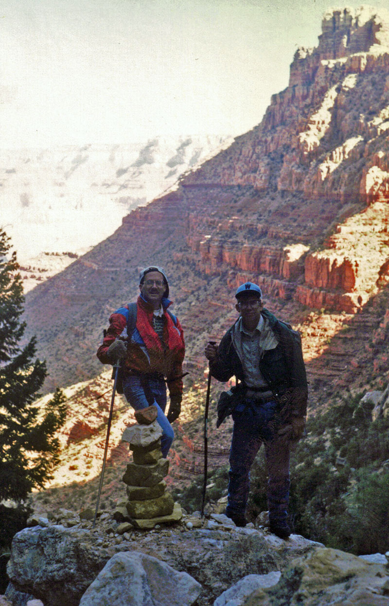 John & Dennis find a cairn. |
 Looking up from the cairn. |
|
Calling this a trail is more than a little misleading. It is a
route that can be followed, although rock slides can present some
challenges. We found occasional cairns, like the one above.
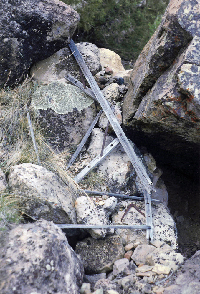
In fact we even found some bits and pieces of the old trail in here and
the remains of something that was constructed (see below). Could
this really date back more than one hundred years? Maybe.
The "trailhead" is pretty easy to find. There used to be a pull-off on the road where you could park right at this spot. But, folks in the Park Service must have decided that this was just too appealing for casual visitors, and they have filled in the parking area and built a stone curb here to prevent any parking alongside the road. Well, at least that makes it a pretty easy place to spot! And, almost right across the road is a dirt road where you'll invariably see parked cars. Those belong to hikers who hoofed it down the road to the east, about a half mile, to the New Hance trailhead, where there is no parking available. |
|
|
||
 Signs of old trail use still remained even though it hasn't been formally used in one hundred years. |
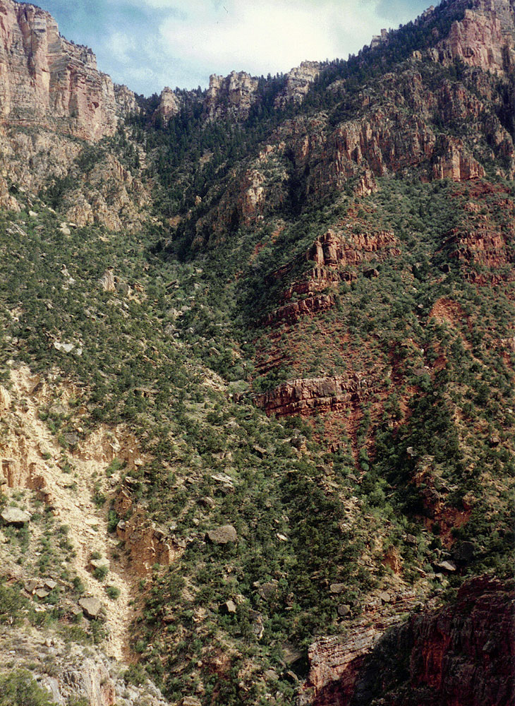
 Looking up to the rim. |
 Mathieu and John pose by the big rock in the Redwall layer. |
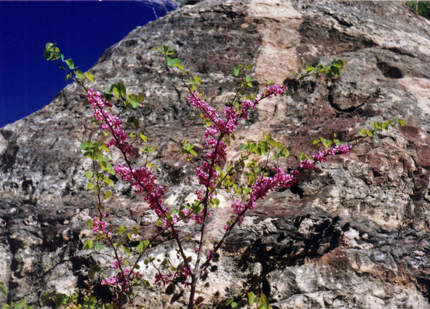 A Redbud tree in bloom. |
||
|
It took us only a couple of hours to reach the top of the Redwall
formation. I kept a journal on a micro-cassette recorder and I
have put my transcribed notes down at the bottom of this page.
[Before writing this blog, I always referred to this cave as "Tse-an-Bida"
and I have left it that way in my transcription. My recent web
surfing in preparation of this report has lead me to alter the
punctuation and use "Tse'an
Bida" instead.]
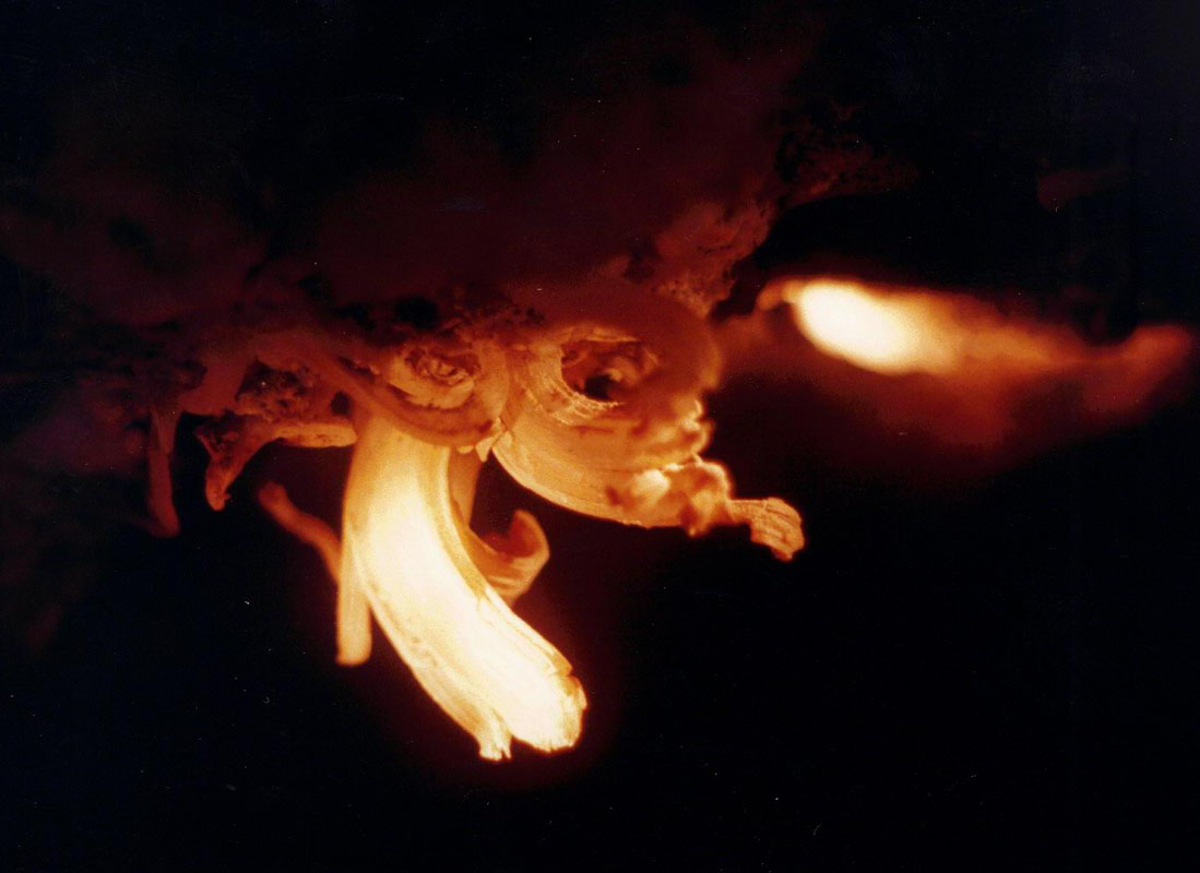
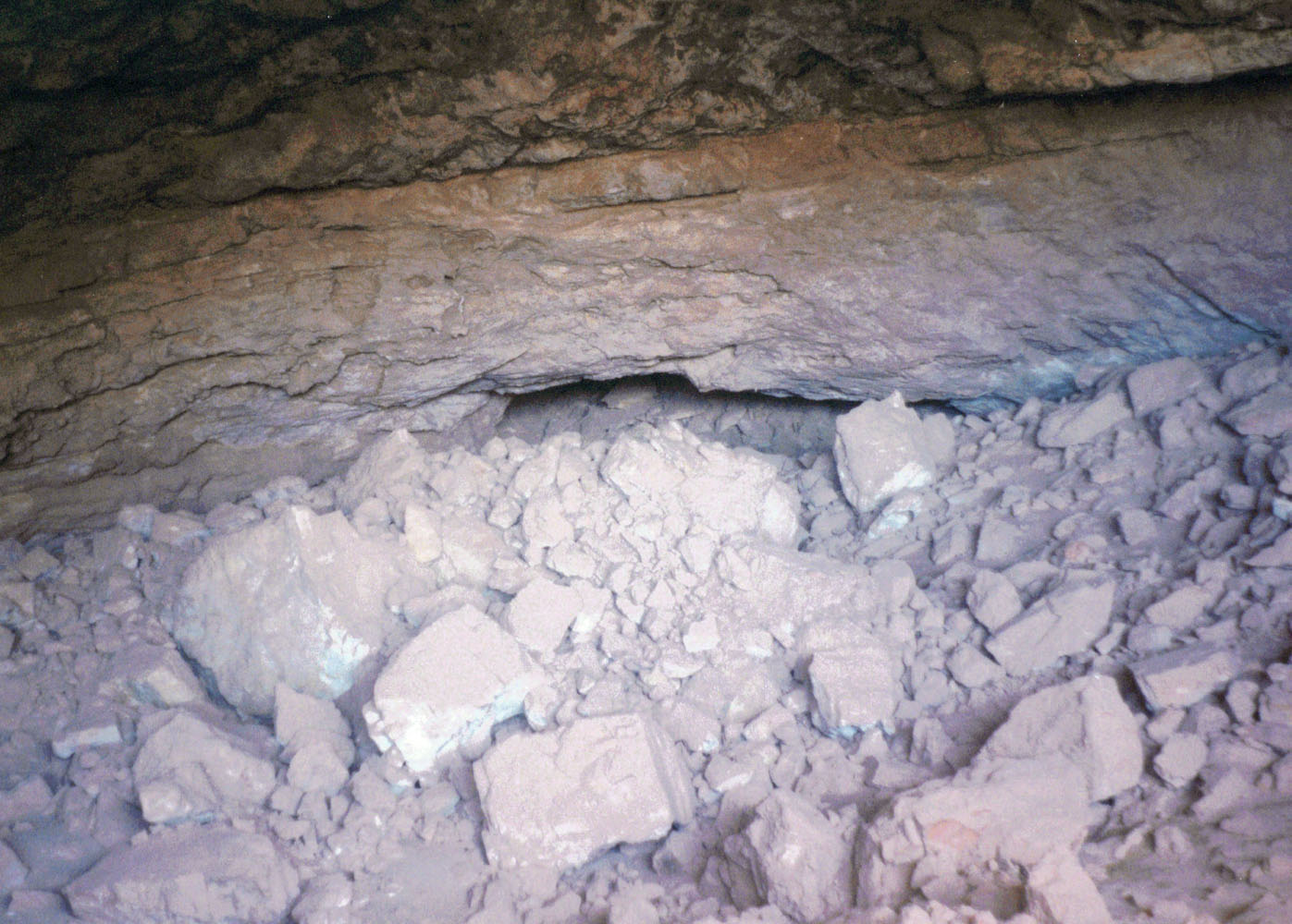
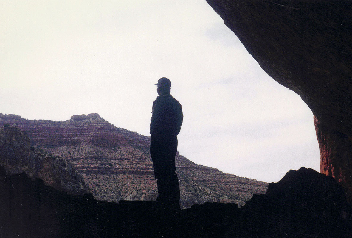
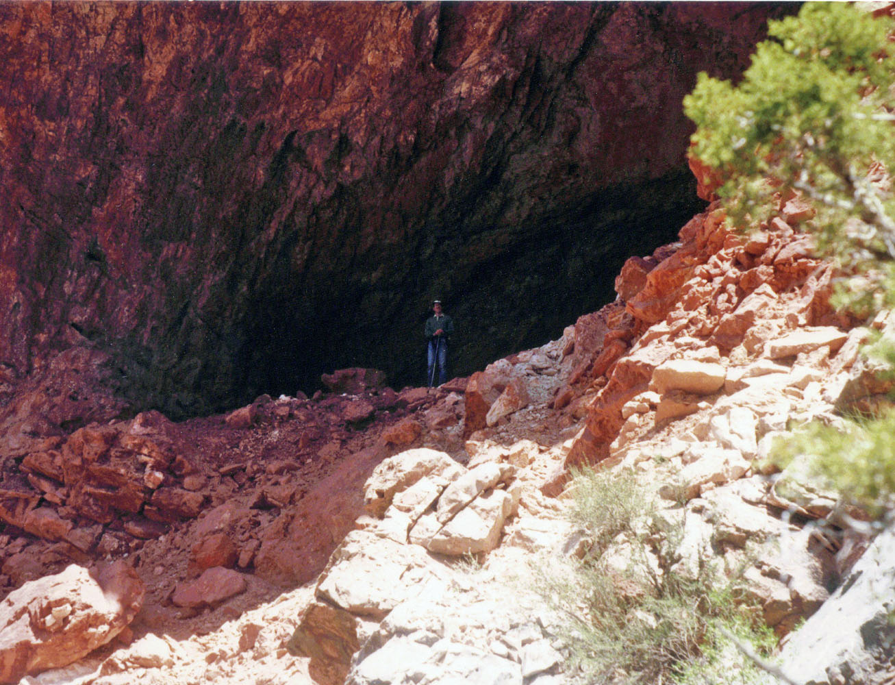
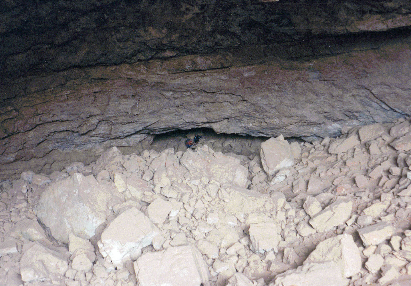
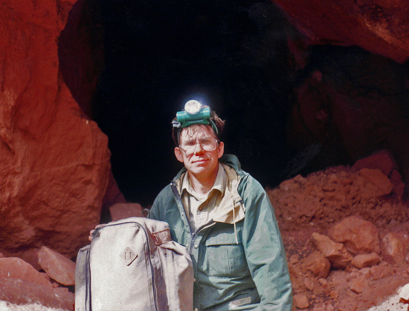
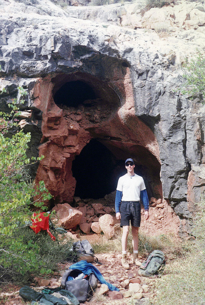
Now we would have to keep our eyes peeled to find this cave. It wasn't especially clear to me where it was, except in the lower Redwall. And, knowing that it came out as a tunnel atop the Redwall, I figured it must not be too far down. So, we kept checking out sites along the way until we hit paydirt, although it took a while and was a close call. While we had gotten down to the top of the Redwall in good shape, it took nearly three more hours to get to the cave. As we checked out possibilities, at one spot we scrambled up to a huge cavern. I thought it might be a dead end, but as it dropped back down into the cliff, there was what looked like a slight opening. As you can see from the pictures below, it turned out to be a very large opening! And, there was an ammo box with a register inside. Hooray, we found it! I got a picture of John at the cavern entrance, below. It must be the only place to take a photo - see the one Harvey Butchart took in 1966!! |
|
|
||
 Exploring possibilities. |
 The cave in the back looks small ... |
 Dennis at cavern entrance. |
 John at cavern's entrance. |
 ... until someone is in it! |
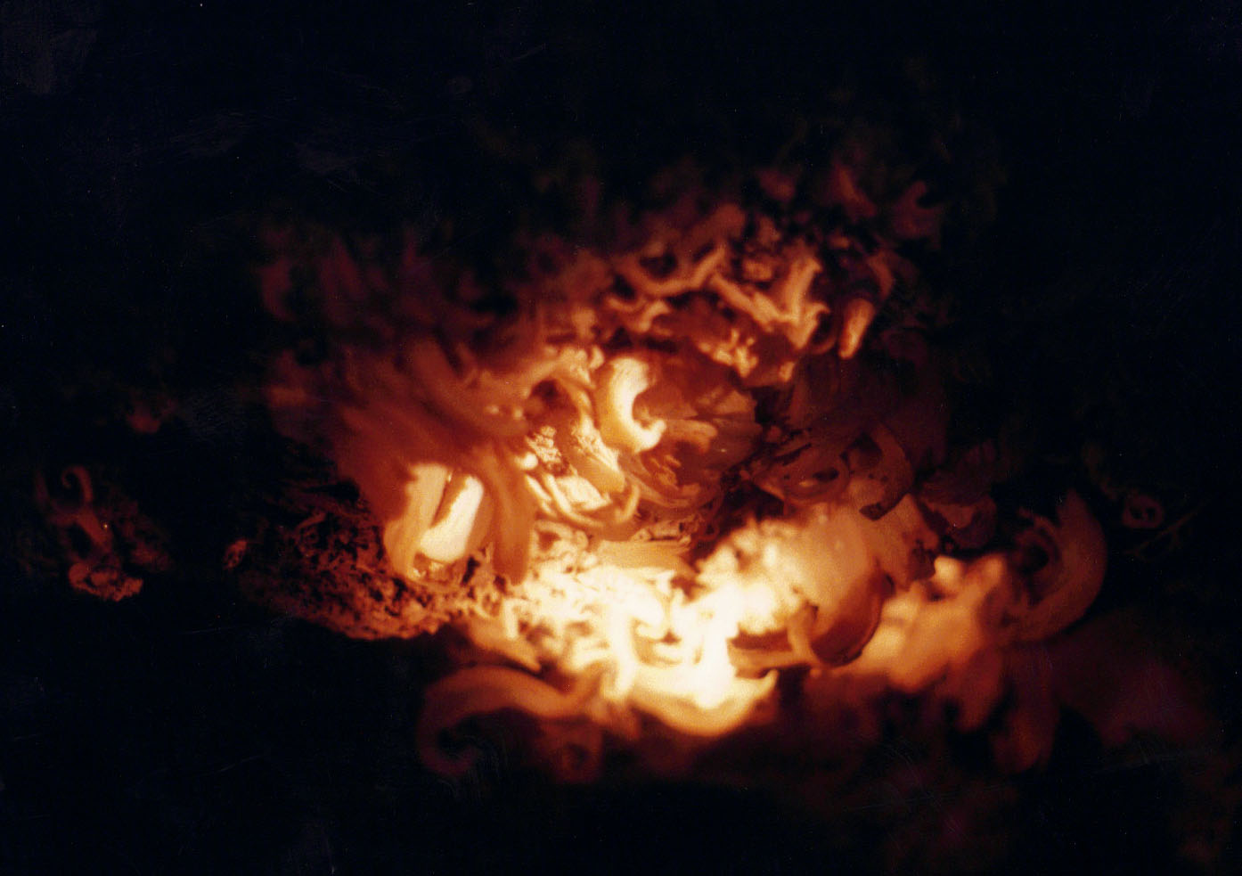 Cave formations. |
|
We had lunch at the cavern entrance, which has a great view of the local
area. Hance must certainly have known about this cave and one
suspects that some of his tourist-visitors would have been in here.
|
|
|
||
 Covered in dust. |
 Mathieu at the exit to this "cave" which is really a tunnel. Fewer names on the register at this end! |
 Looking at our route as we head back to the main bed. The traverse was a lot harder than we were expecting. |
 Toward the rim from the exit. |
||
| When we came out of the tunnel, we were covered in dirt and dust. I wore a coat knowing that I was going to get pretty grimy. The exit was in a rather non-descript place, facing into a ravine, although we could see the route to the rim. Getting back to the bed turned out to be harder than we expected as there are a couple of very steep ravines to cross where the footing is poor. Looking at the photos, above, it doesn't seem like it should take a long time to cover this ground, but it took us about three and a half hours. From start to finish took us nearly eleven hours to cover what I estimated to be only about five miles (although that may be a bit low). Still, it was a great hike and a great place to visit. |
|
|
|
Appendix
- Micro-cassette Transcript [Tape 10a] [Wind
blowing] Saturday, April 20th, it’s 8:09 in the morning.
John Eastwood, Matt Brown and myself are headed down the Old
Hance Trail to Tse-an-bida, the cave in the Redwall.
It’s a clear day, windy, cool and we’re on our way. [Wind
blowing in background.] It’s
9:25, and we’ve just passed the remains of something that may have
been a table or a bench or something, pieces of wood looks like kind of
one by fours, [wind] strapped [wind] by old rusted out pieces of metal,
just off of the main ravine. We
are about half way through the Supai on our way down to the Coconino.
[Should read, “to the Redwall.”] It
is cool and has been quite breezy for some time on our way down here.
I’ve kept my coat on and feel pretty comfortable.
The sky, however, is still perfectly clear and blue, a real nice
looking day. We can see the
top of the Redwall although it is unclear where the cave might be.
Based on Harvey’s notes, it could be that one has to walk out
and around the corner out of sight from what we can see from here.
So, on down to the top of the Redwall. It
is 10:00, and we’re at the top of the Redwall.
Continuing our way down looks like we’re going to have to go
all the way through the Redwall and down the creek bed a piece before
we’re going to be able to find the spot that we can climb up to catch
the cave. 10:12,
and we’re midway through the Redwall, having just bypassed a big drop.
And worked our way along the little piece of the slick Redwall,
where it … actually there was a pool of water.
Available for our use, not that we’ll use it.
So everybody is downsizing to something a little more
comfortable. It’s
10:48, and we’ve just come down past the big old rock on the big old
ledge. And we’re really
at the creek level now. We
can follow this all the way down to the Tonto trail without any trouble
at all. It’s
11:32, and I think we’ve come to an agreement about where to head up.
We have lots and lots and lots of possibilities here, but the
route to the right-hand side of this canyon looks like it can go up at
least halfway through the Redwall on some ledges, which is higher than
any where else around here, which, then, may then lead us to this cave
entrance. Exactly where
it’s going to come out on top though is still something of a question
that we have. It’s
1:11, and we are at the entrance to the cave and if we all whoop
together we’ll here the giant echo. [Whooping noises with echoes]
Well, that was it. It
was actually pretty easy getting up here from the upper ledge.
It wasn’t a big deal at all.
And this is a huge amphitheater of a room, with the cave entrance
proper at the back end. So,
lunchtime then crawl time. It’s
2:00, and we’re all set to head on into the cave.
It’s been a nice little break here, however it has clouded up
quite a bit since we’ve stopped for lunch.
And the next thing to do is to see if we can get through the cave all the way to the top of the Redwall. The
cave is certainly visible from the junction of this arm with the arm
that heads up towards Grandview. So,
I’m certain that it appears in at least one of the pictures that
I’ve taken in the past. It’s
2:17, and we’re on our way, having cleared through the entrance area
and spending a little bit of time here reading people’s signatures and
notes on the journal here in the ammo box.
It appears that no one has been here since March of last year.
And the journal, which is only five or six pages long, goes back
to 1978, so just a small handful of people ever come up this way. It’s
3:16, and we’re at the top. We’ve
been here for a few minutes signing in at the upper register and shaking
off the dust. It was
actually quite easy once we got through some low passages where we had
to shuffle along on our stomachs and pull our packs along with us.
We were finally able to stand up and walk out quite a bit of the
ways, all the way to the very end.
Climbing up at the big spot here didn’t seem nearly as bad as
Harvey had described it in his journal notes.
The cave entrance faces right into a … looks like another
ravine, I don’t know how far away we are from the creek bed, but it
doesn’t look like it faces down into the creek bed.
It just faces down into a side ravine.
So, we don’t have much of a view in that regard.
So, anyway, take a break here before heading on back up. [?]
…actions here. We are in
the Redwall at the top directly across from what looks like the start of
an archway on the other side. It
was very noticeable when we came down through here.
So, we’re actually looking across this canyon of Hance Creek
and the rim doesn’t look too far away.
It seems that going
to be pretty easy to do that and then go back over into the bed of this
canyon and back on out. It
says the temperature was 68 degrees when we entered the cave and then
midway through actually measured it at 71. Oh,
about 3:30 to 3:40, we left the cave and we are now just about 10 or 15
minutes along the way. Contouring
above the Redwall, back into the bed.
Looks like we’re going to have to lose a lot of elevation to
reach the bed before we’re able to start climbing back to the top.
Great view, though, all the way up to the rim of the Old Hance
route. 4:35,
and I’m back on the wooded slope where we should be able to pick up
the trail again. John and
Matt are just a bit ahead of me. Coming
back in here was just awful. We
ran into some steep cliffs and kept working our ways back up to cross
around ravines and we ended up not being able to come back down into the
bed as Harvey seems to indicate here.
Also was a route that we missed.
There are a couple of … a big point here they have a chute that
goes all the way down there, but we just couldn’t seem to see anything
obvious and ended up contouring around [wind blurring words] ..so will
take a little water break here for a minute before heading on.
It
is 6:41, and we are up at the top having come out of it to the west, on
the kind of old trail and in fact we came up through an area with quite
a bit of trash, tin cans, old bottles, a grate and a big kerosene can -
that looked like. We mostly followed up the ravine through the Coconino
with some detouring when necessary.
And now we’re out at the road just a couple minutes from the
cars. Cloudy, a little bit
overcast, some blue sky. It is nice and still up here, no wind blowing, but a little
cool. |
|
|
||
|
|
Return to Hiking Grand Canyon home page |
|