 |
Thar's
Gold in Them Hills - by Dennis Foster Sunday, October 9, 2005 |
|
Thar's
Gold in Them Hills - by Dennis Foster Sunday, October 9, 2005 |
|
|
 |
|
|
|
Click on any picture to see a larger image. |
|
|
| I loaded
up the truck - mostly just with my dog Scout - and was off by 7:45
am. It was a fairly clear morning, with nice views of the peaks,
although the forecast called for increased cloudiness and rain later in
the day. On the narrow road that climbs up the side of the peaks,
leading into Lockett Meadow, I did pass by four vehicles heading
down. I always like to try and plan my trips so that I minimize this
- the road is awfully narrow in many spots (and all gravel, or rutted, as
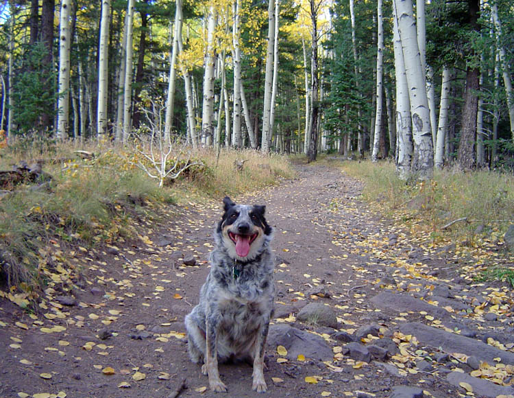
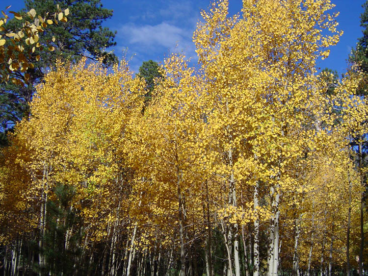
the case may be). The overnight campers were starting to rouse themselves, and the smell of crackling fires filled the air with a pleasant aroma. If you half closed your eyes, you'd think you were back in town and the Forest Service was doing a prescribed burn! No, not really - these fires were, by and large, dried aspens, although mixed in with some pine. There were only two other vehicles in the Day Use Area near the trailhead, which was nice. I wanted to let Scout off the leash as much as possible, which is another reason I like to come up here early in the morning. 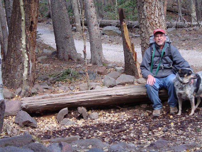 We were on the trail at 8:16 am and reached our
destination in the Inner Basin by 9:19 am, having seen exactly zero people
the whole way. I took lots of photos, as you can see below. It
wasn't as cold as I thought it was going to be. And, no breezes
until the Inner Basin, which can really chill things down!
We were on the trail at 8:16 am and reached our
destination in the Inner Basin by 9:19 am, having seen exactly zero people
the whole way. I took lots of photos, as you can see below. It
wasn't as cold as I thought it was going to be. And, no breezes
until the Inner Basin, which can really chill things down!We took a quick rest break further up the hill from the pumping station (all the ones we passed were on). And, that was the end of my photos, as my batteries (two sets) died out from the cold. But, that wasn't really an issue, as I had planned to jog back down the trail, so wouldn't be as inclined to take pictures. We headed off to the north, on a side road that meets up with another road in the forest along the northern edge of the Inner Basin. On my very first trip here, many years ago, I didn't know which road to take, on the way up, after passing the Forest Service buildings and I chose incorrectly - consequently, for a few years I didn't know that the Inner Basin was an open meadow area! Scout was a good jogging companion, staying near and behind me. Once we passed the Watershed road, where there are some Forest Service buildings and a spring, I kept her on a leash, as we passed by a continuous flow of visitors heading up. We made it back to the truck in just under a half hour, although we walked the last 10-15 minutes of the way. The parking was near full when we returned, but the clouds had also rolled in. I think we hit the light pretty well by being up there earlier. For some other views of the Inner Basin, from the Mt. Humphreys Trail, taken about a month ago, check out my blog "A Break in the Action" and the link from there to additional photos at "A Climb Up Mt. Humphreys." |
|
|
|
|
|
|
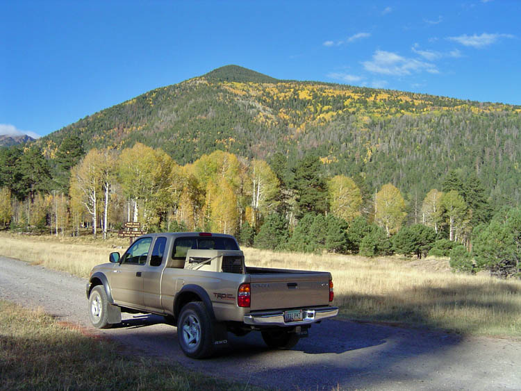
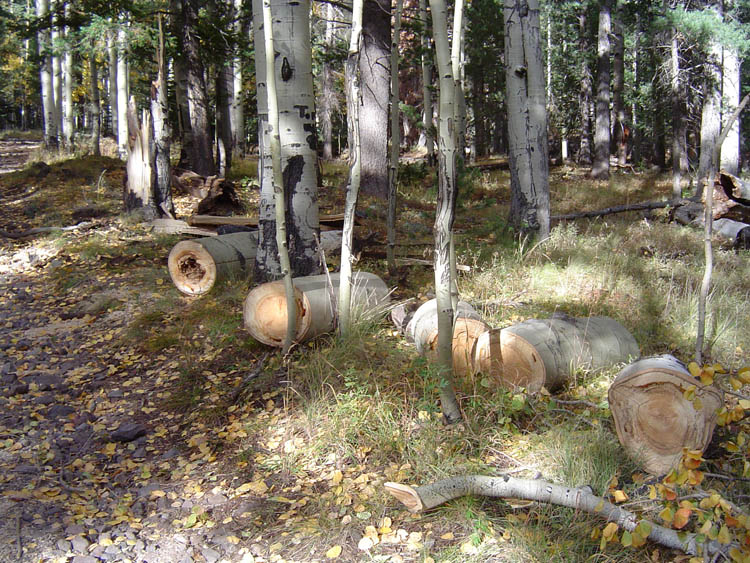
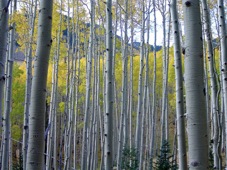
| Arriving at Lockett Meadow. | Cut aspens along the trail. | Aspens behind aspens. |
|
|
||
|
|
|
|
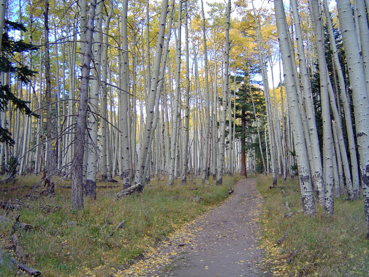
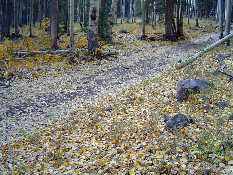
| Along the trail. | Scout's having a good time. | Leaves covered some spots. |
|
|
||
|
|
|
|
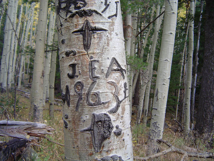
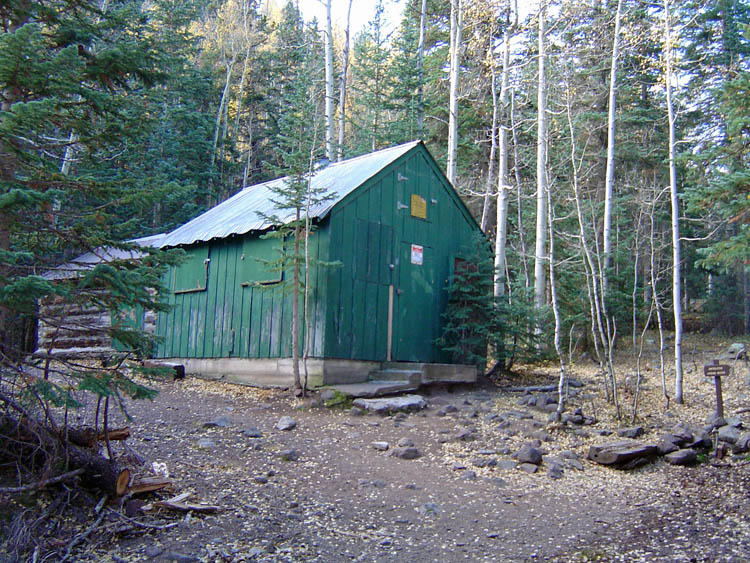
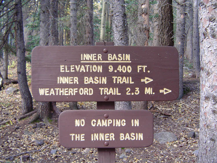
| Some aspens are dated. | Forest Service building at spring | Trail sign at the spring. |
|
|
||
|
|
|
|
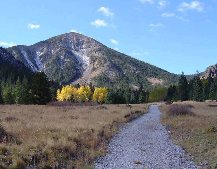
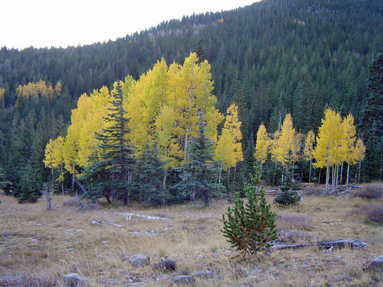
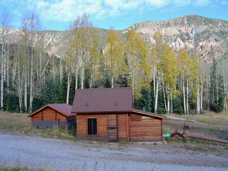
| The Inner Basin opens up. | Brilliant grove in Inner Basin. | Pump house in Inner Basin. |
|
|
||